Day 3 - Blue Springs MO to Fairbury NE
| Miles for the Day: | 293 |
| Total Trip Miles: | 1430 |
| Start Point: | Blue Springs, MO |
| Sun Rise: | 6:49 AM CDT |
| Start Altitude: | 1092 feet |
| Start Weather: | At 6:00 AM CDT, the temperature was 49.2 degrees with 45 percent humidity. The conditions were clear. |
| End Point: | Fairbury, NE |
| Sun Set: | 8:01 PM CDT |
| End Altitude: | 1383 feet |
| End Weather: | At 6:00 PM CDT, the temperature was 72.4 degrees with 25 percent humidity. The conditions were partially cloudy with a wind speed of 10.8 and wind gusts of 17.9. |
Table of Contents
 Google Map Track Log
 YouTube Video
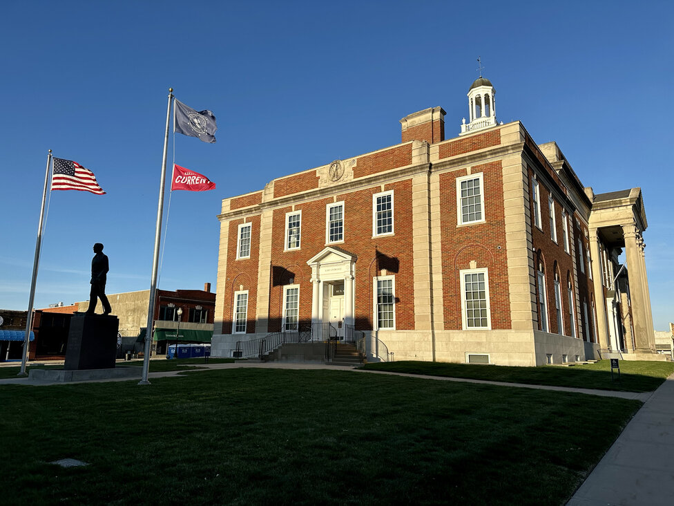
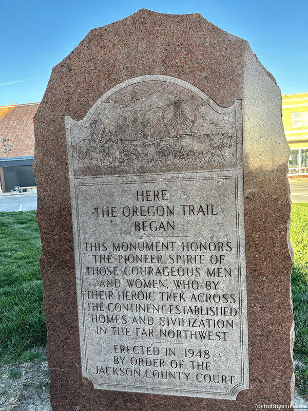
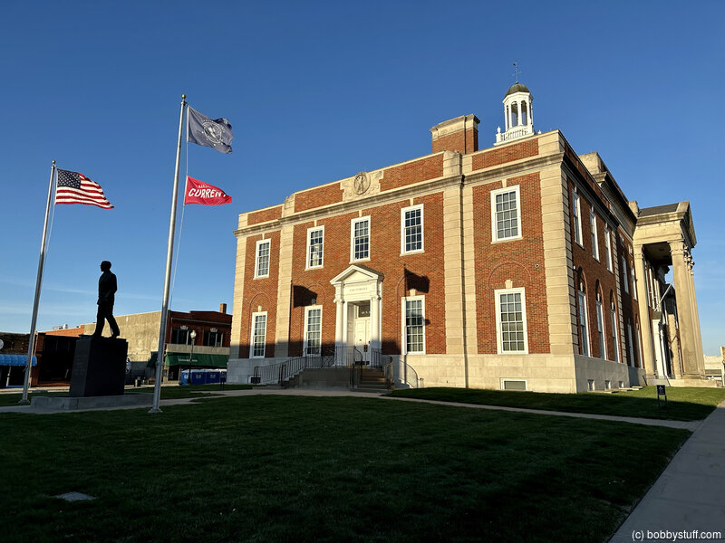
 Independence Courthouse Square, Independence MO
View a list of places like this or a map.Independence Courthouse Square is the official start of the Oregon Trail, where wagons were outfitted through much of the emigration era.
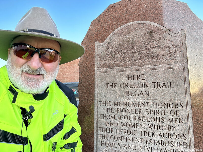
Bobby
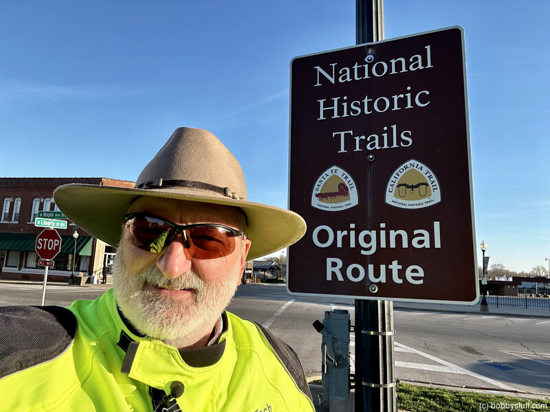
Bobby
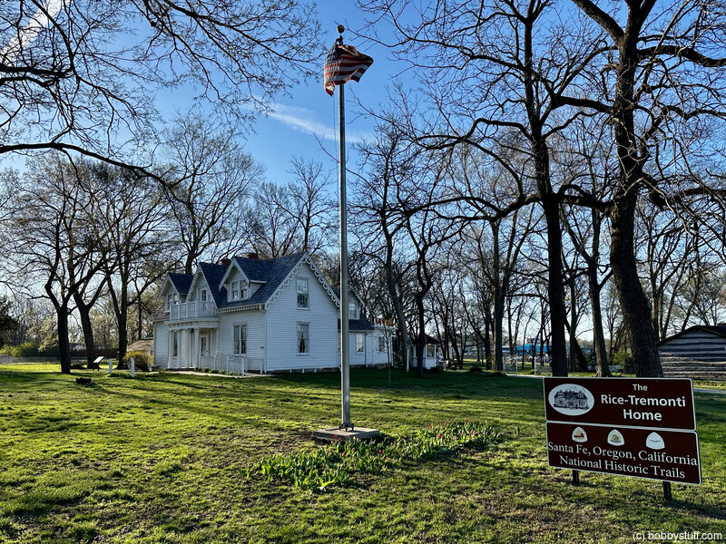
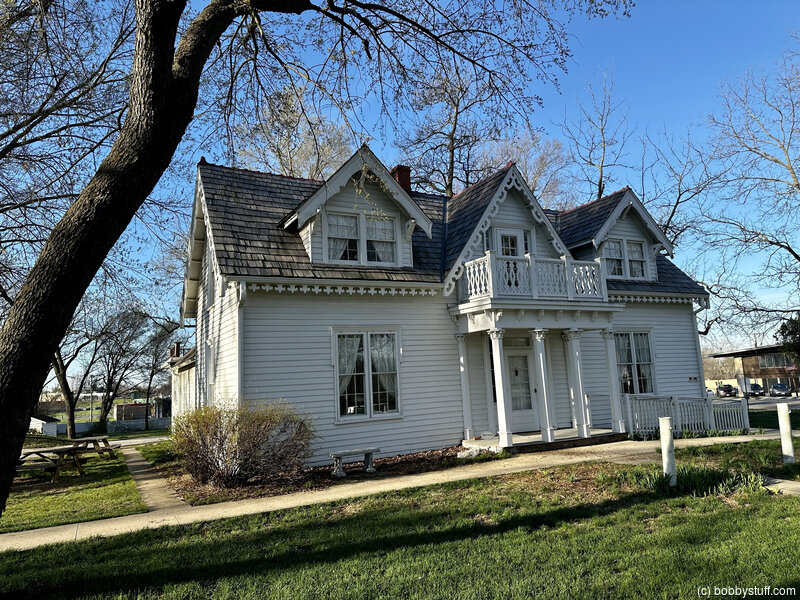
Rice-Tremonti Home, Raytown MO
View a list of places like this or a map.Rice-Tremonti Home
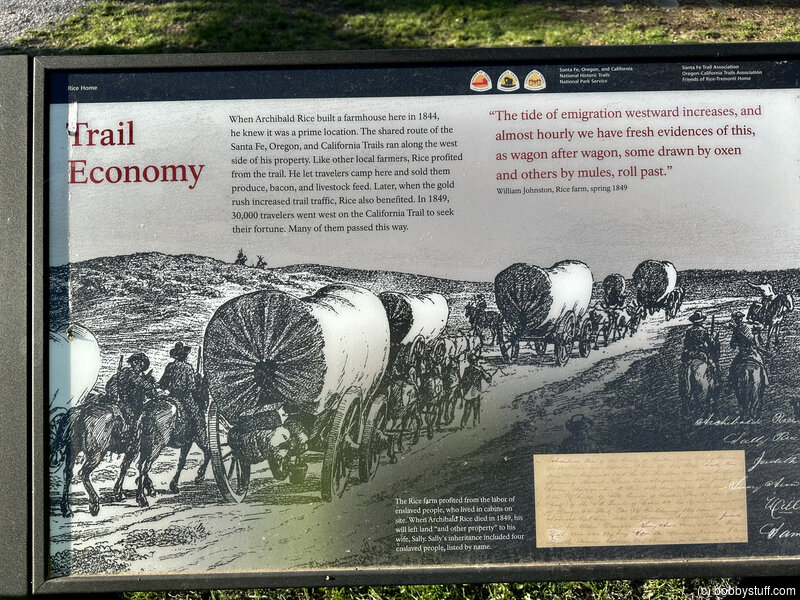
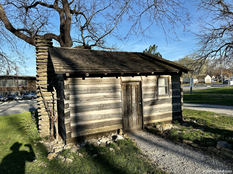
Rice-Tremonti Home is an 1844 farmhouse with an associated 1830s-era slave cabin. It is mentioned by many Oregon and California-bound diarists as a popular campsite and a place where they could purchase food. The property owner offers public access, interpretation, tours, and events.
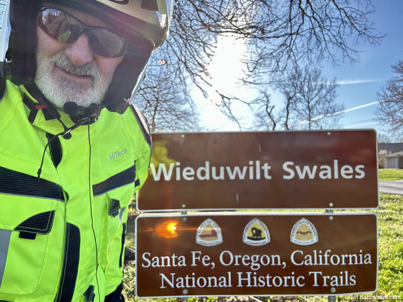
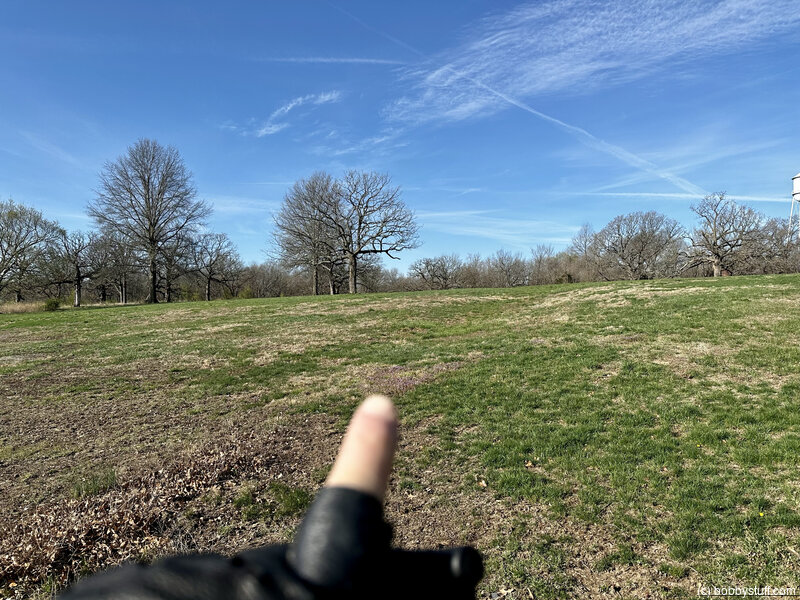
Wieduwilt Swales, Kansas City MO
View a list of places like this or a map.Wieduwilt Swales
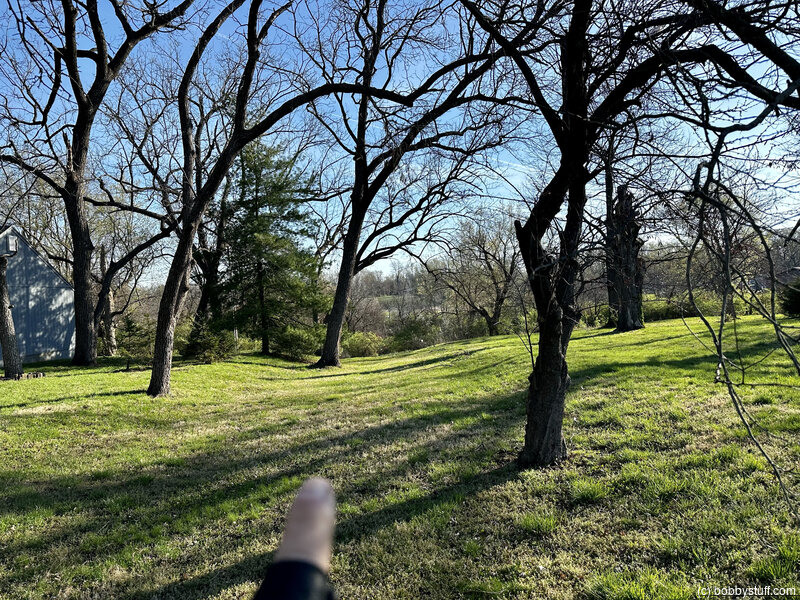
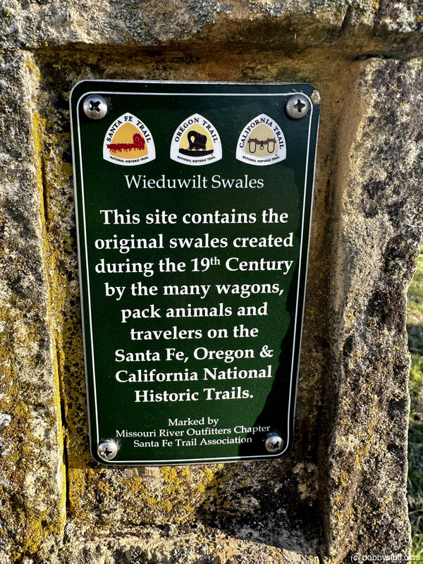
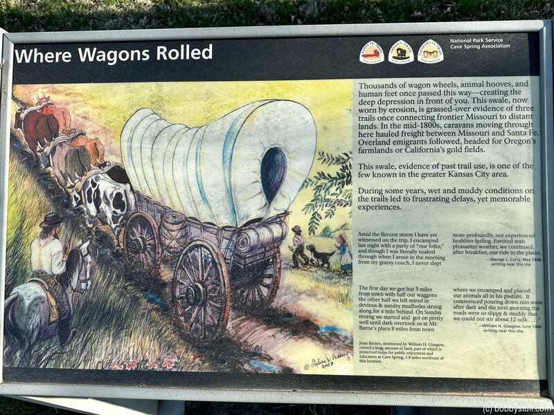
Wieduwilt Swales are the grassed-over evidence of three historic trails that passed through the area, the Santa Fe, California, and Oregon. Thousands of wagons, carts, livestock, and people traveled on these trails, which created ruts and left deep depressions in the earth. After the traffic stopped, vegetation slowly reclaimed the muddy and barren ground of the trails, creating the swales that are still visible today.
The Wieduwilt Swales were created as emigrants traveled up a hill and went around a natural rock outcrop near the north central portion of the 1.22 acre site.
Bobby
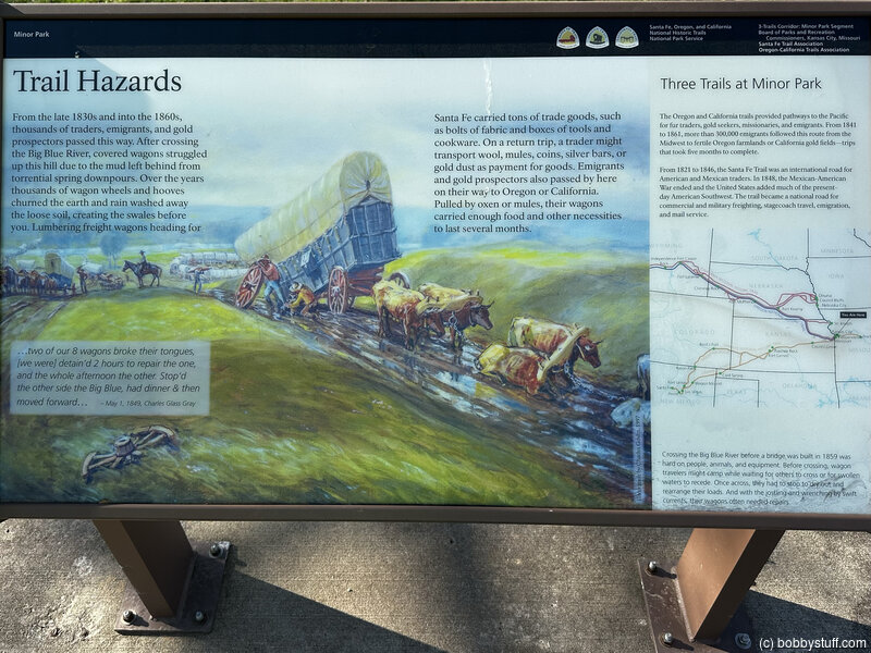
Minor Park/Blue River Crossing, Kansas City MO
View a list of places like this or a map.nps.gov
Minor Park/Blue River Crossing is a 27-acre city park that preserves the most dramatic swales at this end of the trail. The site was a principal river crossing, mentioned in many diaries through the 1840s and 1850s. (An original wagon ford was located 300 yards north of the bridge.)
New Santa Fe, KS and MO State Line
View a list of places like this or a map.nps.gov
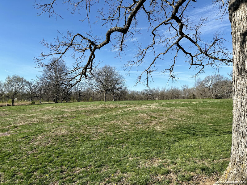
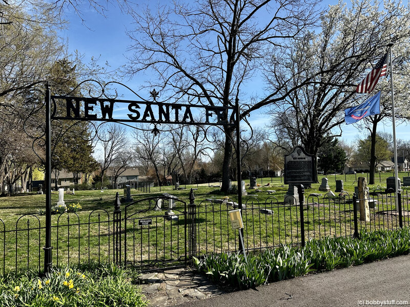
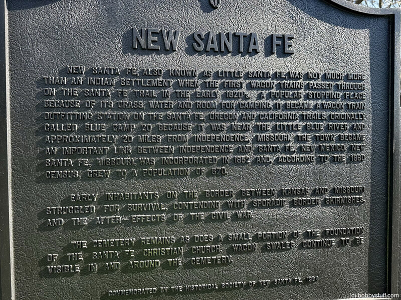
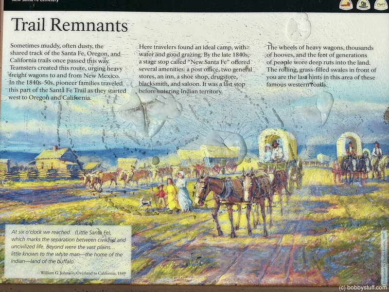
New Santa Fe is an 1840s village site where thirsty emigrants could purchase their last whiskey before entering Indian Territory and wagons could be repaired at the blacksmith shop. A cemetery with faint trail swales, privately owned by the New Santa Fe Cemetery Association, is all that remains of the village.
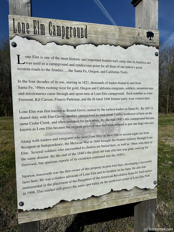
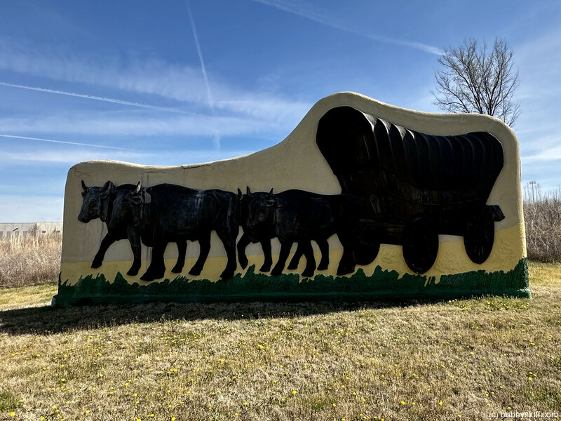
Lone Elm Campground, Olathe KS
View a list of places like this or a map.nps.gov
Lone Elm Campground is where many Oregon, California, and Santa Fe trail travelers spent their first night west of the Missouri. Now, a 160-acre city park encompasses the wagon trail corridor and campground.
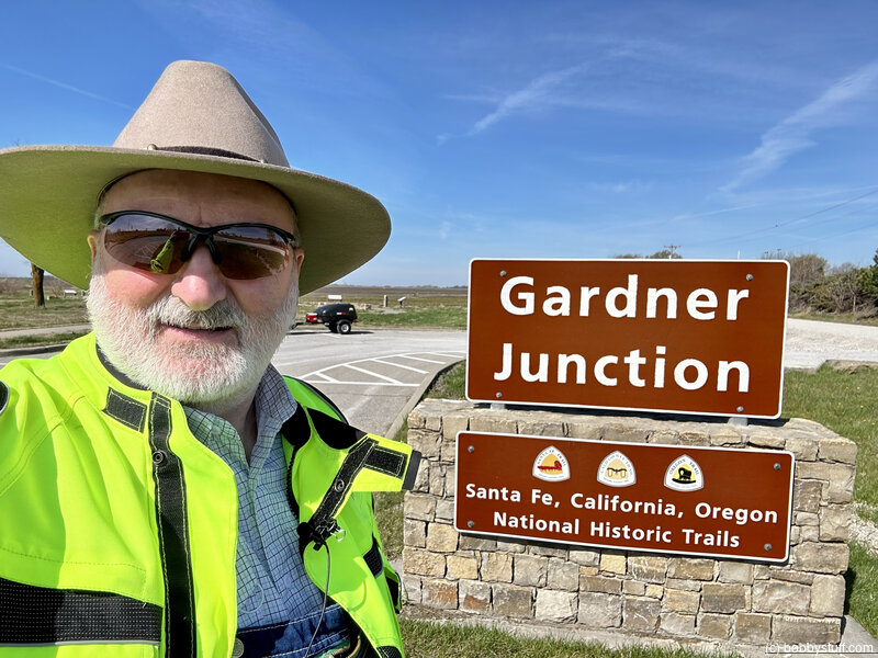
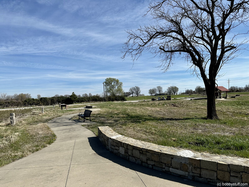
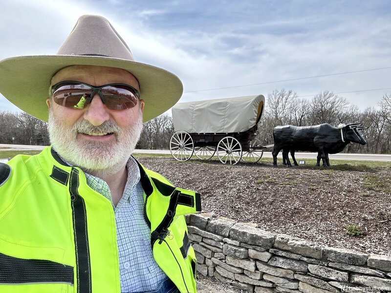
Parting of the Trails , Gardner KS
View a list of places like this or a map.nps.gov
Parting of the Trails - Gardner Jct. is where the Oregon and Santa Fe trails split. The approximate location of the site is indicated by a historical marker, though no physical traces of the junction remain. A roadside park on U.S.-56 provides interpretive information.
Bobby
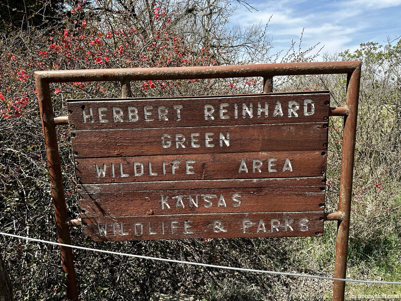
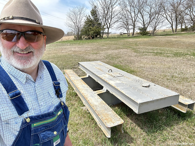
Union Town Town/Herbert Reinhard Green Memorial Wildlife Park, Willard KS
View a list of places like this or a map.nps.gov
Union Town/Herbert Reinhard Green Memorial Wildlife Park was an Oregon Trail village from 1848 - 1859. More Oregon and California trail emigrants ferried the Kansas River to avoid crowded conditions near Topeka's ferry. The Kansas Department of Wildlife and Parks administers the 83-acre park, which preserves an Oregon Trail trace, pioneer graves, and restored bluestem prairie and native woodlands.
Bobby
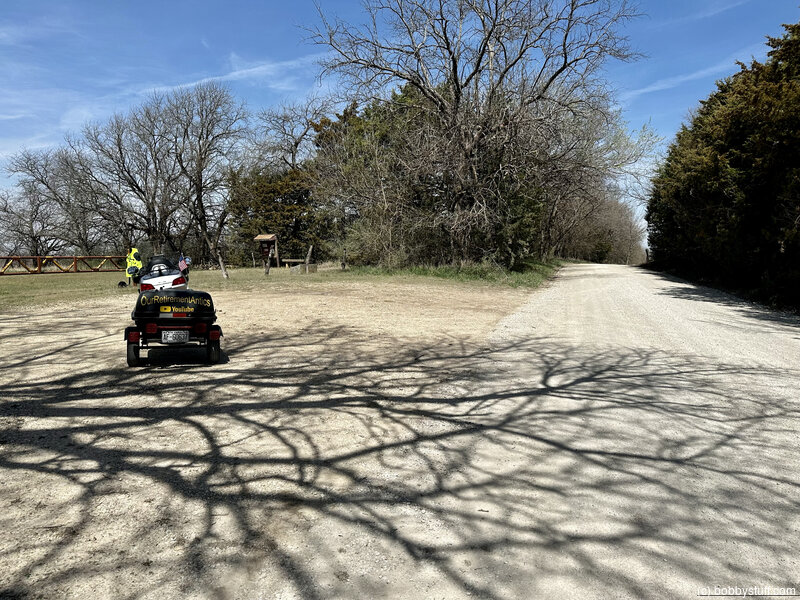
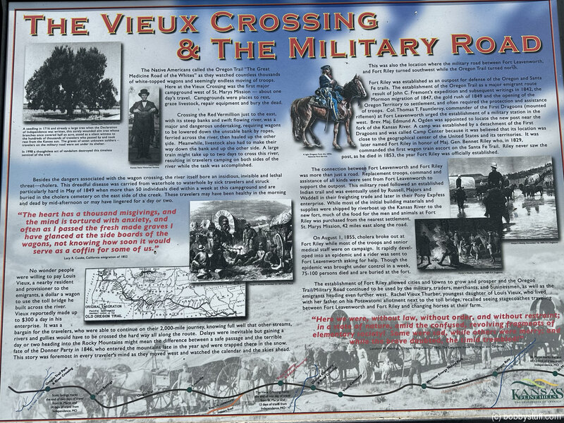
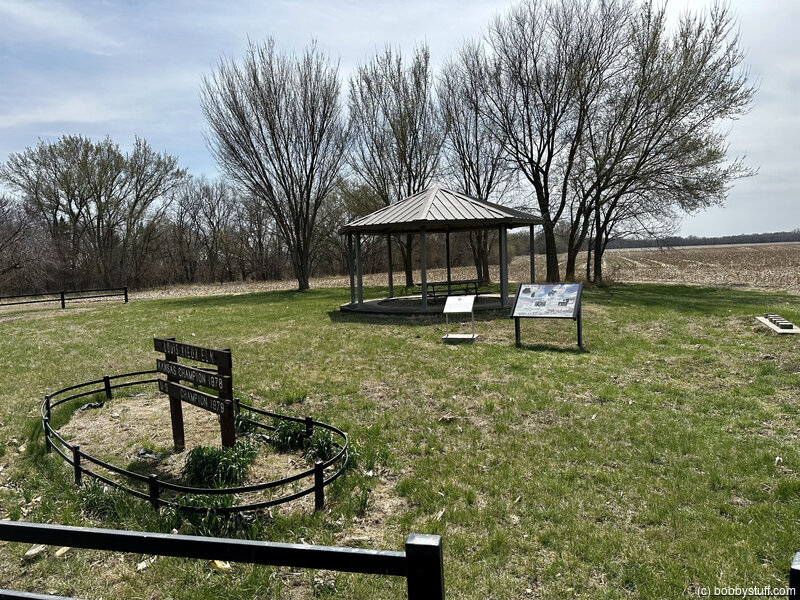
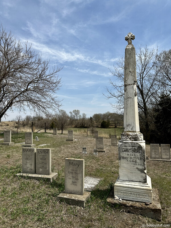
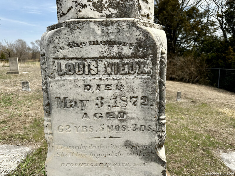
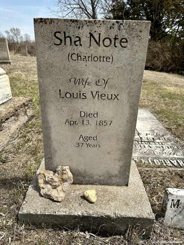
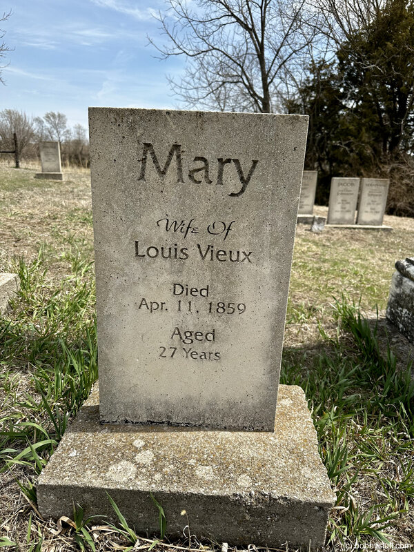
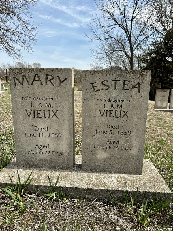
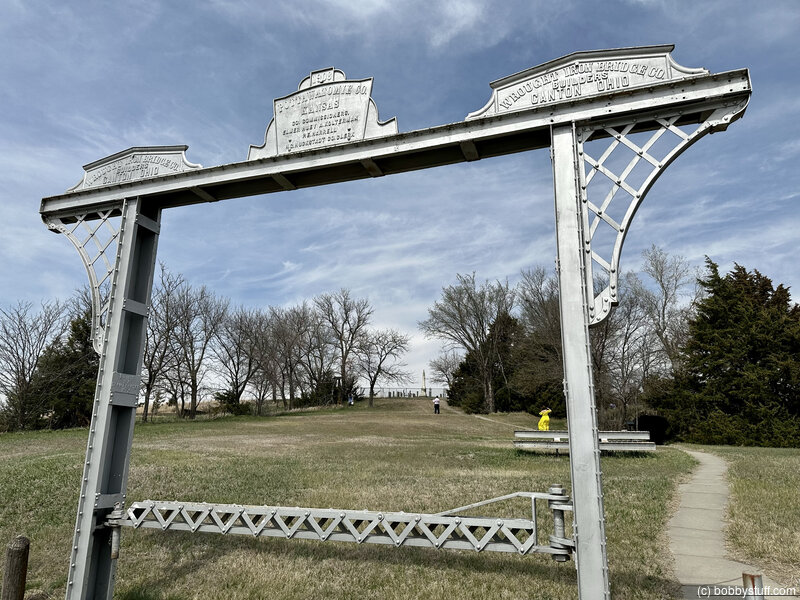
Red Vermillion Crossing/Vieux Cemetery, near Belvue KS
View a list of places like this or a map.nps.gov
Red Vermillion Crossing/Vieux Cemetery is the site on the Red Vermillion where Louis Vieux, a Potawatomi Indian, established a toll bridge in 1847. In 1849, a large wagon train encamped on the east side of the creek was struck by cholera, which left 50 emigrants dead within a week. They were buried nearby. The Vieux family cemetery is also in the vicinity.
Bobby
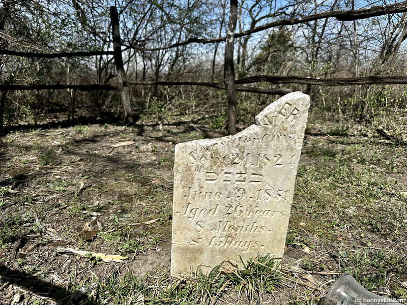
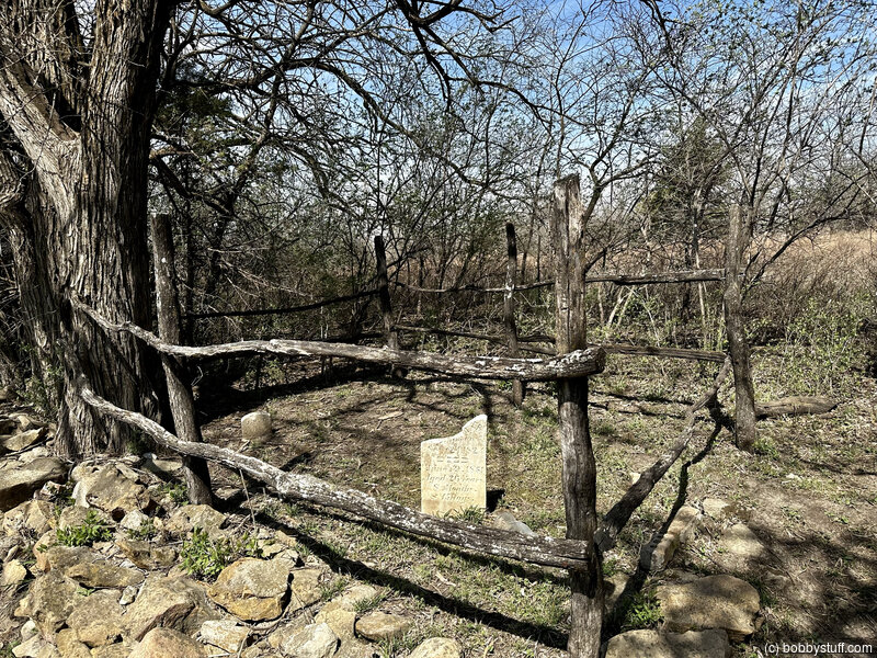
Oregon Trail Gravesite, Westmoreland KS
View a list of places like this or a map.Historical Marker
Here lies an early traveler who lost his life in quest of riches in the West.
Bobby
 Elevation Changes During the Day
The day started at 1,092 feet and ended at 1,383 feet. The highest altitude was 1,481 feet and the lowest altitude was 751 feet.
| Day 2 - Clarksville TN to Blue Springs MO |
Topics
TagsConfederate Statues (32),Motorcycle (101),National Parks (9),Odd (1),Route 66 (33),Unemployment (6),Zombies (1)