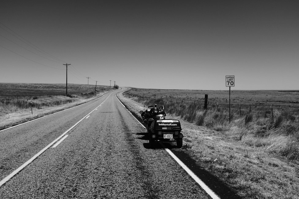
Day 6, Route 66 El Reno OK to Amarillo TX
| Miles: | 366 |
| Start Point: | El Reno, OK |
| Sun Rise: | 7:00 AM CDT |
| Start Weather: | At 6:00 AM CDT the temperature was 28.9 ° with 68% humidity. The conditions were clear with a wind speed of 24.2 MPH and wind gusts of 32.2 MPH. |
| End Point: | Amarillo, TX |
| Sun Set: | 8:21 PM CDT |
| End Weather: | At 6:00 PM CDT the temperature was 68 ° with 19% humidity. The conditions were clear with a wind speed of 1.5 MPH and wind gusts of 2.8 MPH. |
Table of Contents
I'm still not feeling well and I did not get any killer photos. Last year I skipped out on the dinner at Pablo Doro Canyon so I was determined to go this year. I goofed and about the time I got to the canyon my fuel light came on. Uh oh! I figured I would be fine. Once in the canyon I caught up with another group and I assumed they knew where they were going. I was wrong.
After traveling what felt like 10 miles down the canyon we met another group coming toward us saying "it's not down there." So we back tracked several miles and met another group saying to turn around. I had been eyeing the fuel needle getting closer to "E". Then I found a little trading post that said they had gas. It was in an above ground square tank that looked like it held about 250 gallons and had some questionable looking plumbing.
I gave them my card and tried the pump but no luck. The cashier ran outside with my card and said the tank often got vapor locked during the day and would not work. I should come back in the morning. That really was not part of my plan.
So now I am getting worried. One guy went into the store to look at a park map and ask for directions. The pavilion where we were supposed to meet was not on the map and the cashiers did not have a clue.
So I just sat beside the road looking lost. Soon a couple in a truck stopped and told me the pavilion was a couple miles back down the canyon, take the right fork and look for the two Gold Wings parked in the road. I headed back down the road, took the fork and after about 1/4 mile the road started uphill and there were no Gold Wings.
So I bailed and headed for the motel traveling at a much reduced speed to squeeze every MPG I could get. I did not have fuel to do any more exploring.
The needle was way below "E" by the time I found a Loves. The pump would not take my card so I had to go in and give them cash. I thought $15 would do it. I put 6.25 gallons in the tank and it was not full. I think the tank holds 6.6 gallons. That was a little close.
I decided to go straight to the motel and break out the emergency Honey Bun I bought a couple of days ago. However someone told me about an Arby's near the motel so the Honey Bun survives for another day.
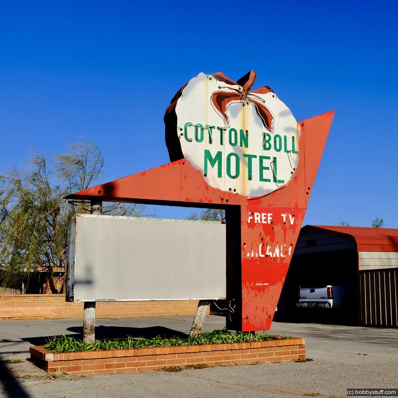
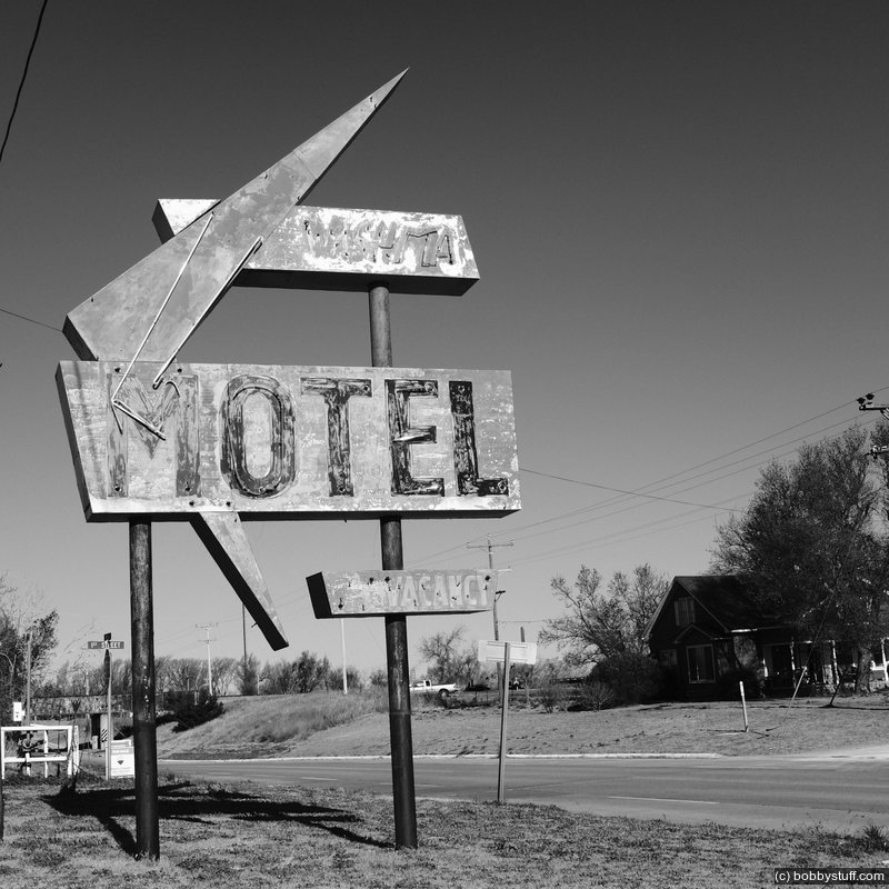
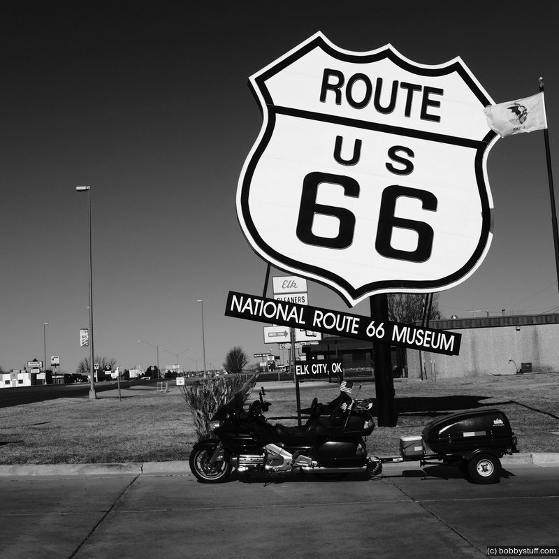
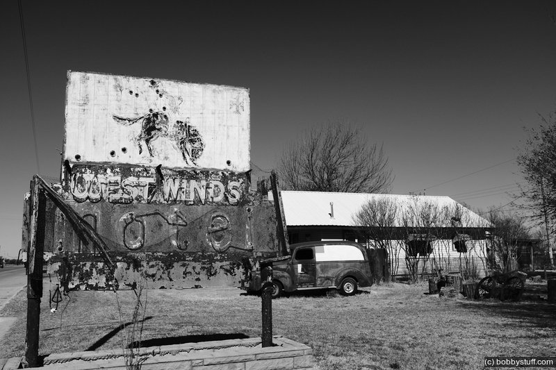
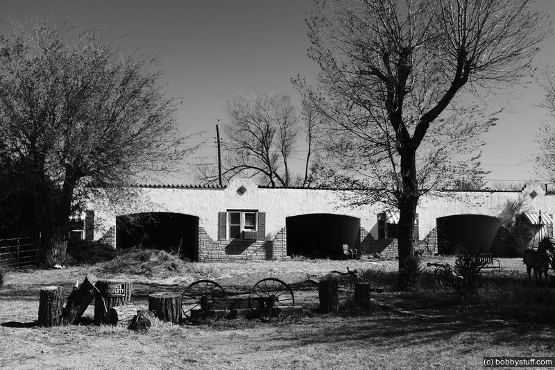
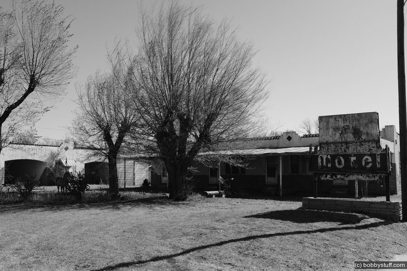
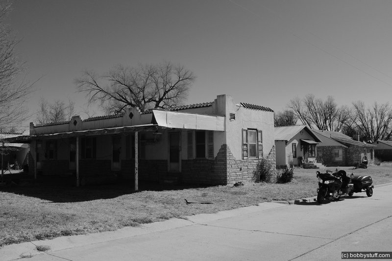
I blew by most of the Route 66 places I visited last year. To read about those places, click here. Below are a few random photos I took today of places I visited last year followed by the new places I visited this year.
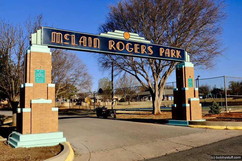
 McLain Rogers Park, Clinton OK
View a list of places like this or a map.nps.gov
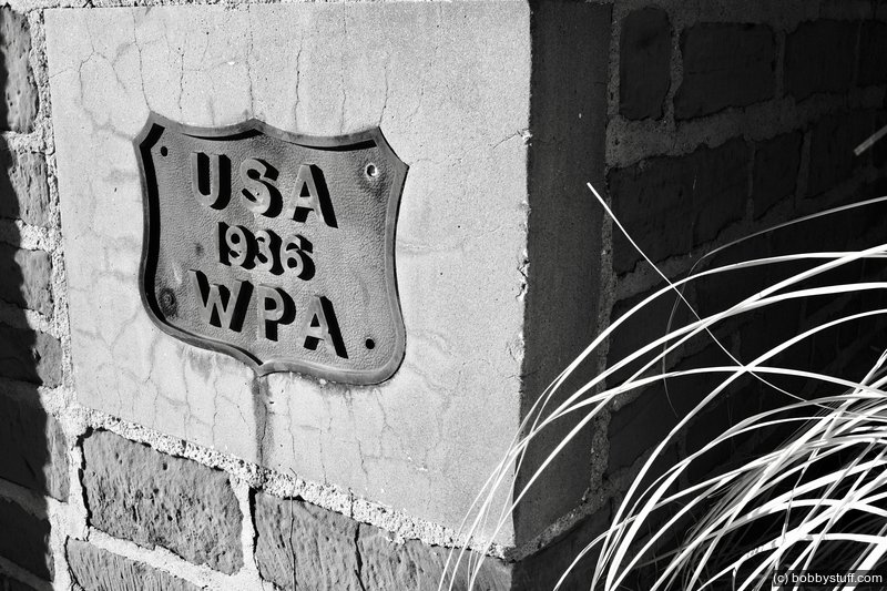
.Between 1934 and 1937, the Federal Emergency Relief Administration, the Civil Works Administration, and the Works Progress Administration helped employ out-of-work citizens of Clinton, Oklahoma with the construction of McLain Rogers Park. It was intended to be the city park and was named for the mayor. The park welcomed visitors, who could enter it directly off Route 66, through an impressive Art Deco style gate with brick piers on either side of Bess Rogers Drive. McLain Rogers Park is important in the recreational and economic development of Clinton between 1934 and 1942 and for its unified design that reflects the New Deal's influence. This design is still evident today.
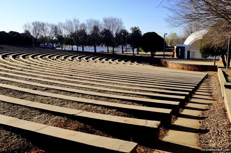
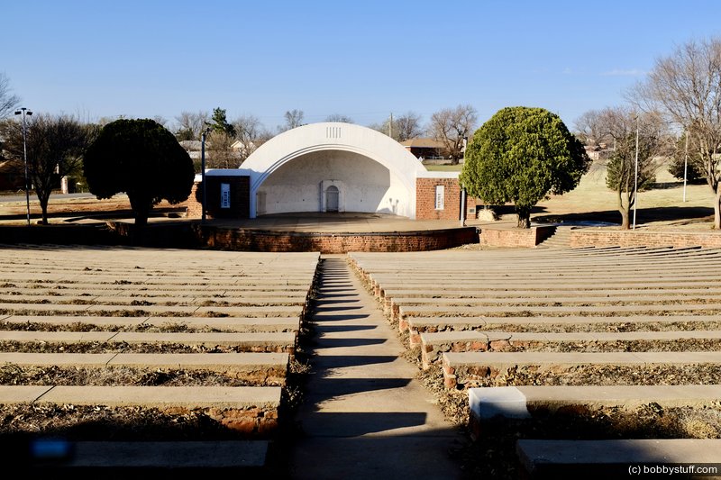
The 12-acre park has changed very little over the years, still featuring the kinds of recreational attractions that appealed to local residents and cross-country travelers during the 1930s and 40s. Visitors to the park will find pavilions, a bandstand, tennis courts, putt-putt golf, a baseball field, picnic tables with fire pits, playgrounds, a volleyball court, amphitheaters, and a bathhouse. Many of the buildings and structures are historic and date from the earliest days of the park. Traffic on Route 66 increased the work of the Oklahoma Highway Patrol, and the last Depression era building constructed in the park is the 1941 Highway Patrol Building near the main entrance gate.
Landscaped during the 1930s, the grounds now contain mature hardwoods and conifers that partially encircle the amphitheaters. Bess Rogers Drive meanders charmingly along the rolling terrain of the park. Devotees of the Mother Road go to Clinton to use the park but also to see the a WPA masterpiece, the Art Deco east gate of the park, situated directly on old Route 66 and still shining with its original neon at night.
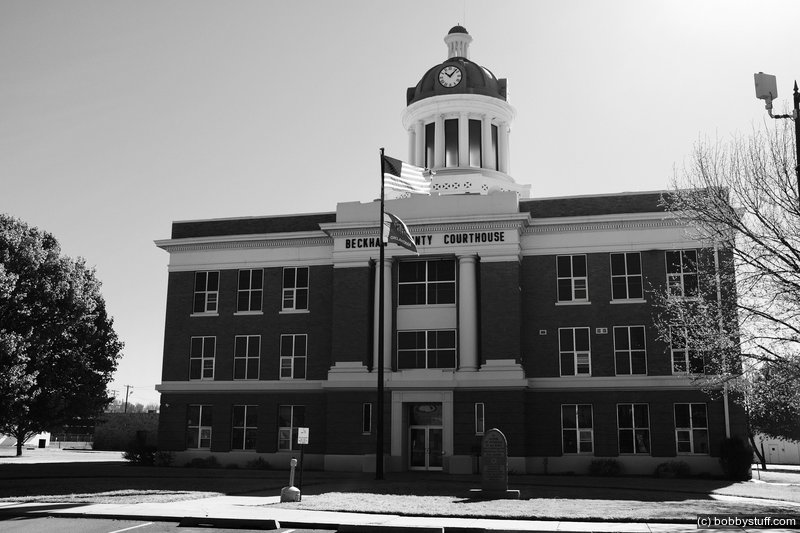
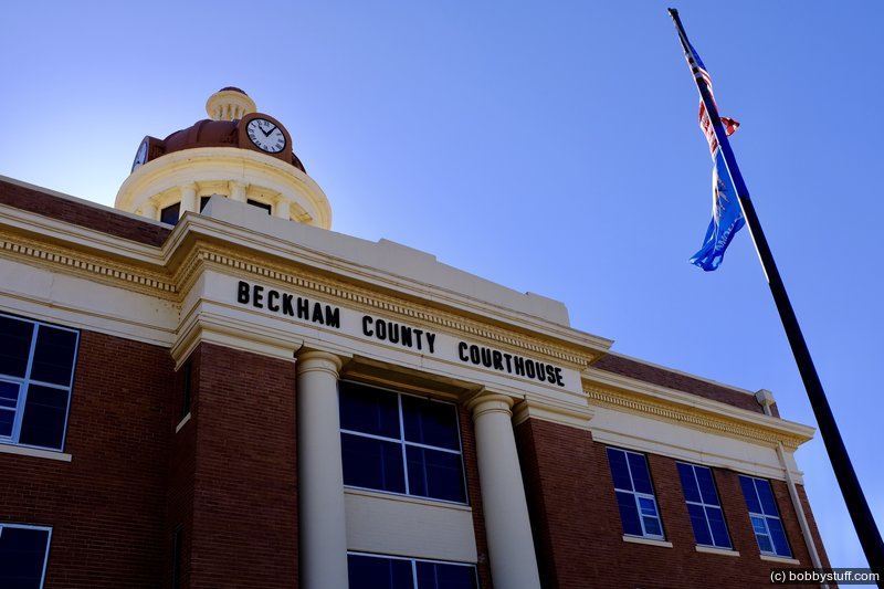
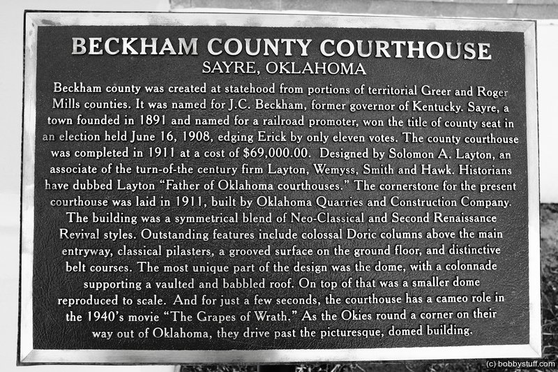
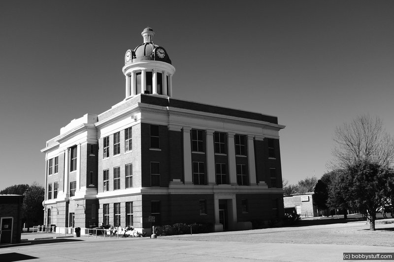
Beckham County Courthouse, Sayre OK
View a list of places like this or a map.nps.gov
Built in 1911, the Beckham County Courthouse is one of the few courthouses in Oklahoma topped by a large dome. One of the tallest buildings in Sayre, the courthouse has been the center of civic and legal activity for nearly a century, and remains a landmark in this community of approximately 4,000 people.
The courthouse stood on Sayre's main square for less than 20 years before the routing of Route 66 through the town in 1928. That was when Sayre changed. Within a couple of years, the town tied its fate to feeding and fueling the steady stream of people exploring the country in automobiles on the east-west Mother Road. In the 1930s and 1940s, the town built and maintained a public library, a hospital, a forty-acre city park, a golf course and swimming pool, baseball and softball fields, a racetrack, and rodeo grounds.
During the 1930s and 1940s, Sayre felt and looked like the beginning of the real West to travelers from Chicago to Los Angeles. The town's website still boasts of being the place where the spirit of the West is still alive. Working ranches are common in this part of Oklahoma. You might hear somebody's spurs rattle on the courthouse square and not think much about it.
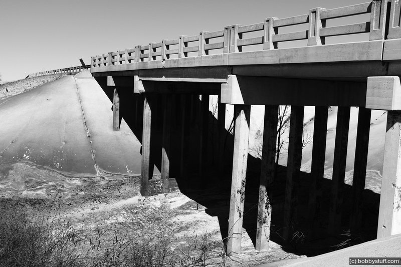
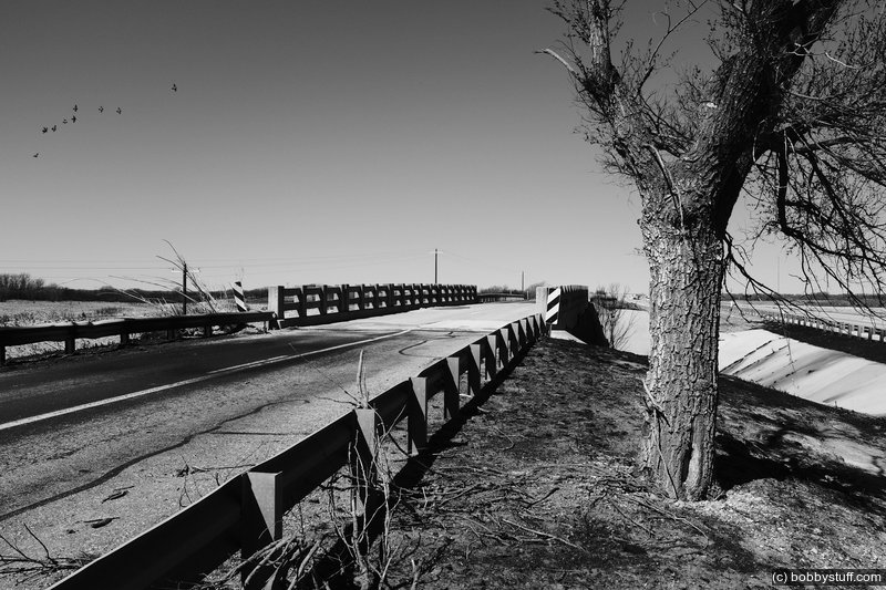
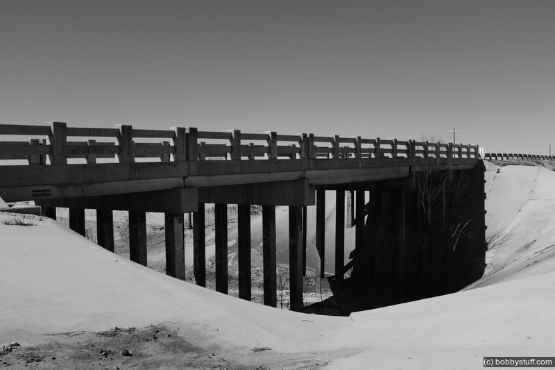
Route 66 Bridge over the Chicago, Rock Island, and Gulf Railroad, Shamrock TX
View a list of places like this or a map.nps.gov
The Route 66 Bridge over the Chicago, Rock Island, and Gulf Railroad is a Route 66 landmark that travelers might miss if they're not looking for it.
The high plains of the Panhandle are relatively flat, so the area didn't require many bridges, which makes the bridge in Wheeler County somewhat unusual. Another unusual feature is that the bridge carried both automobile and train traffic. Designed as a double-decker, the bridge has train tracks for the Chicago, Rock Island, and Gulf Railroad running along a deck 25 feet below the roadbed of Route 66.
The only problem with this useful arrangement is that the blast from locomotives below could play havoc with the integrity of the steel I-beams supporting the deck above. (Not to mention that motorists could get the paint sandblasted right off the sides of their cars.) To correct these problems, the engineers did something a little unusual for 1932. They encased the steel beams in concrete. The result is a 126-foot bridge with a main span of concrete-encased beams. Other spans are made of reinforced concrete girder units resting on reinforced concrete pile bents. If you're an engineer, you'll know what all that means. Otherwise, just enjoy the view from the middle of the bridge.
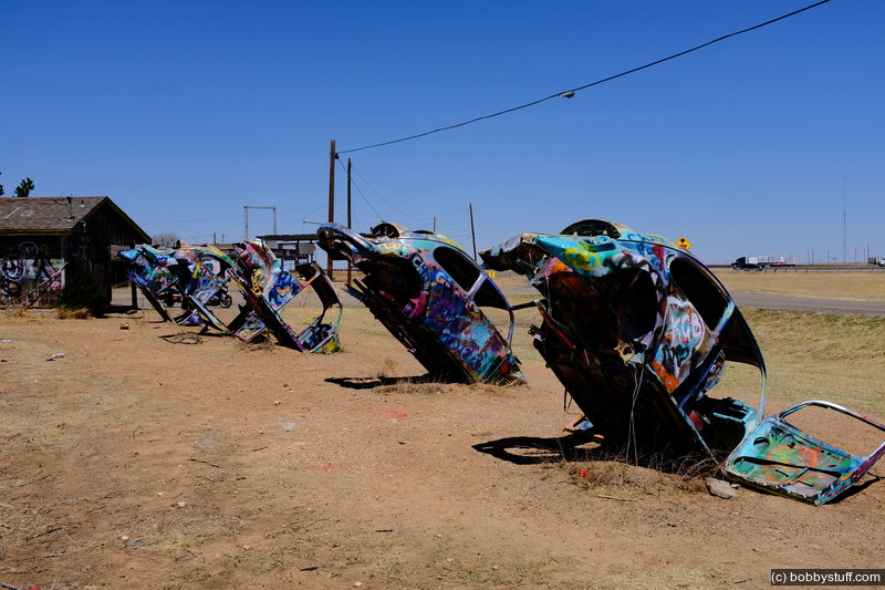
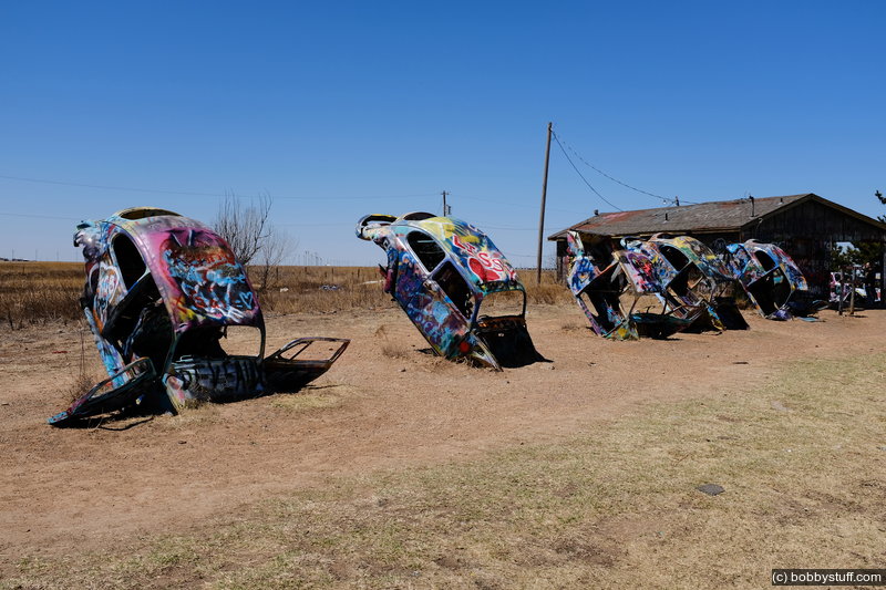
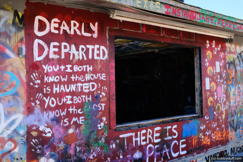
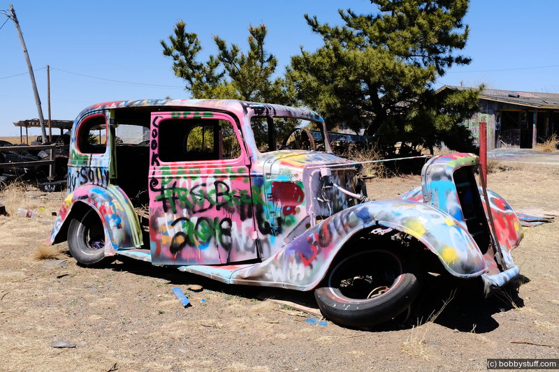
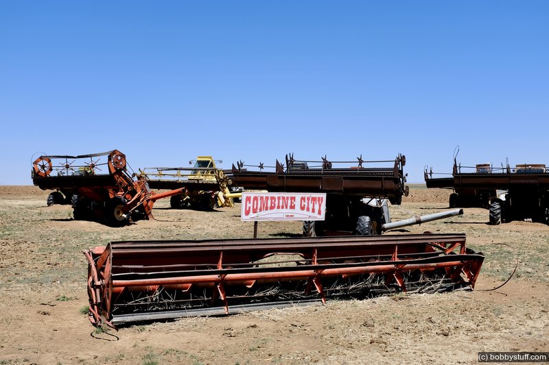
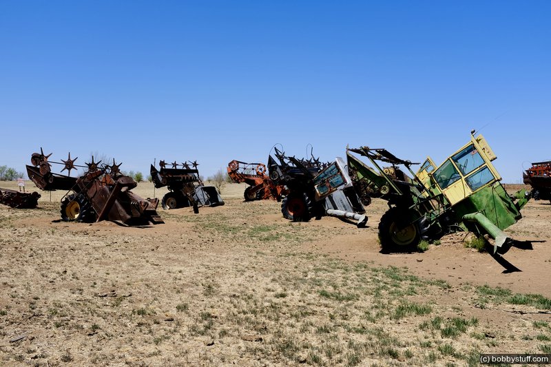
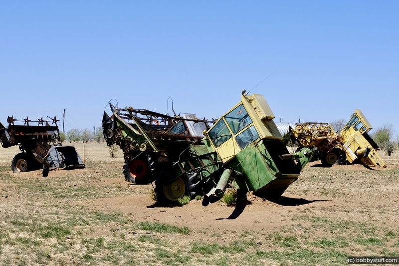
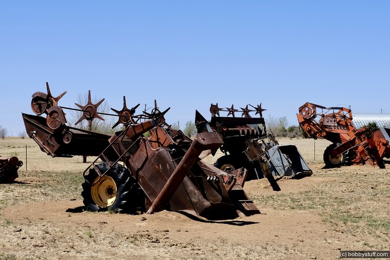
Slug Bug Ranch, Panhandle, TX
View a list of places like this or a map.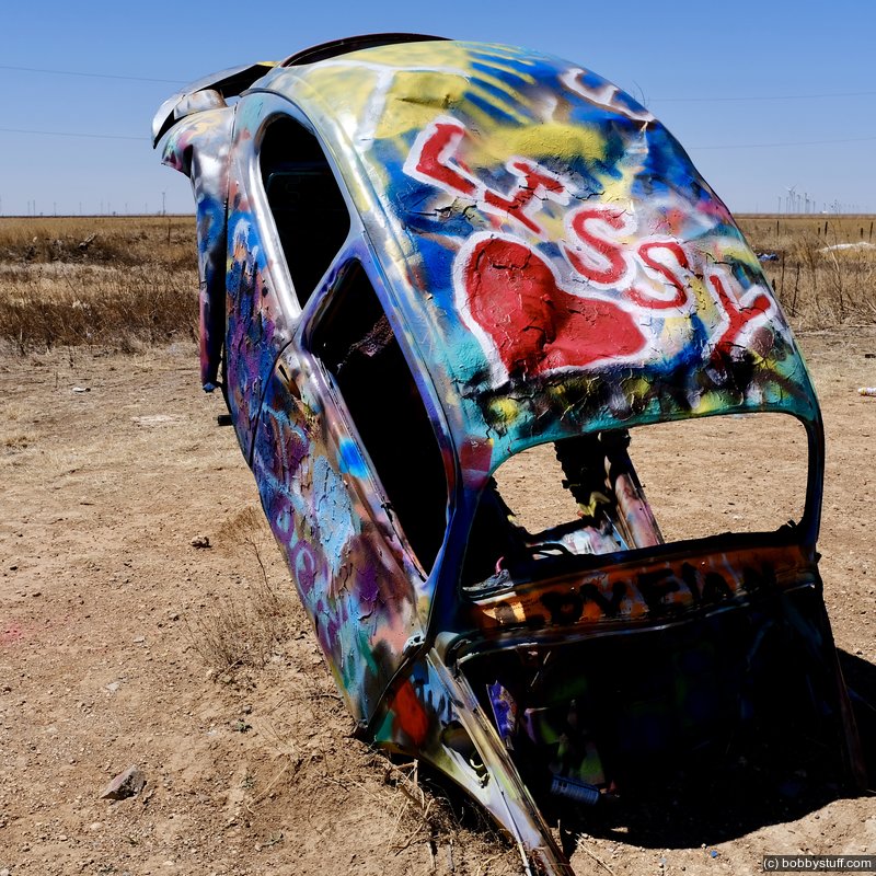
 Elevation Changes During the Day
The day started at 1,418 feet and ended at 3,656 feet. The highest altitude was 3,681 feet and the lowest altitude was 1,385 feet.
 Google Map Track Log
| Day 5, Route 66 in Oklahoma |
Topics
TagsConfederate Statues (32),Motorcycle (101),National Parks (9),Odd (1),Route 66 (33),Unemployment (6),Zombies (1)