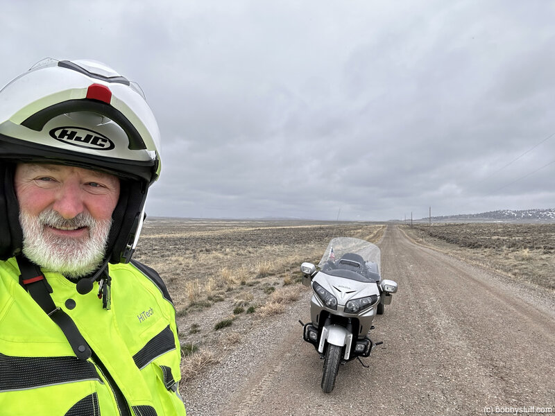
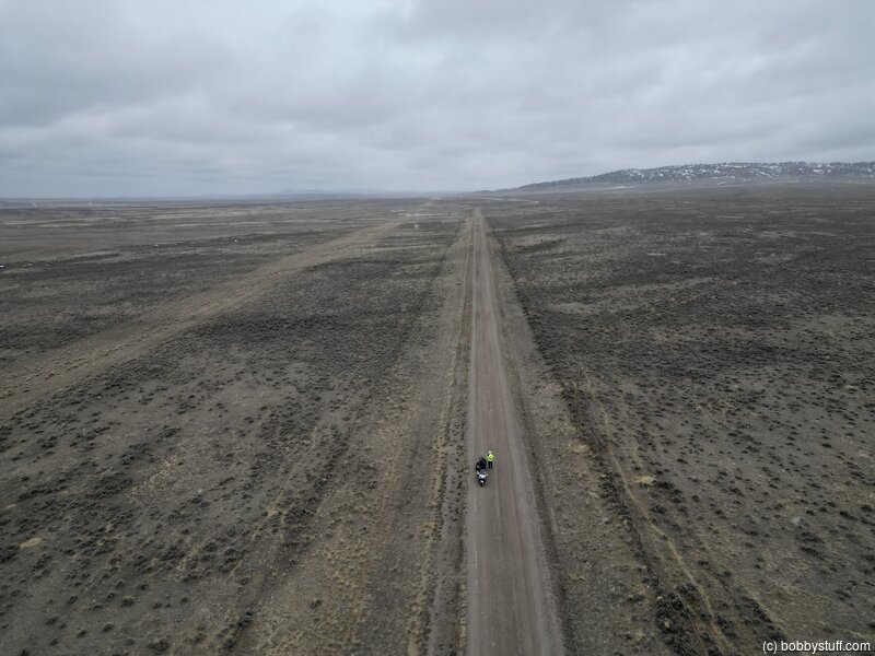
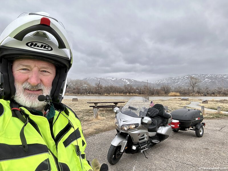
Days 7-8 - Casper WY to Lander WY
| Miles for the Day: | 197 |
| Total Trip Miles: | 2395 |
| Start Point: | Mills, WY |
| Sun Rise: | 6:25 AM MDT |
| Start Altitude: | 5195 feet |
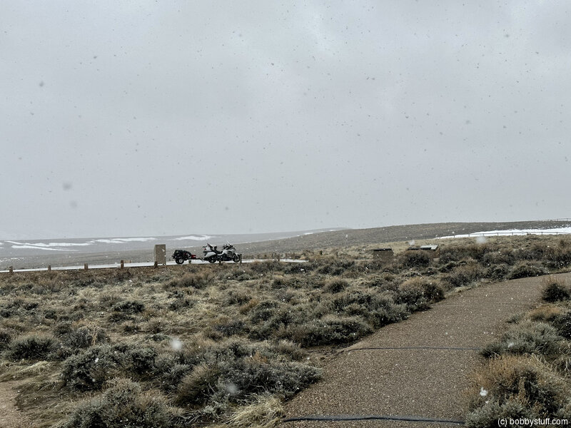
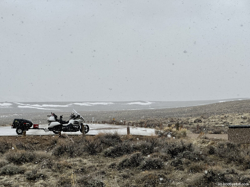
| Start Weather: | At 6:00 AM MDT, the temperature was 29.9 degrees with 89 percent humidity. The conditions were overcast with a wind speed of 13.9. |
| End Point: | Lander, WY |
| Sun Set: | 7:56 PM MDT |
| End Altitude: | 5368 feet |
| End Weather: | At 6:00 PM MDT, the temperature was 35.1 degrees with 81 percent humidity. The conditions were overcast with a wind speed of 10.3. |
Table of Contents
 Google Map Track Log
 YouTube Video
 Emigrant Gap, Casper WY
View a list of places like this or a map.Historical Marker
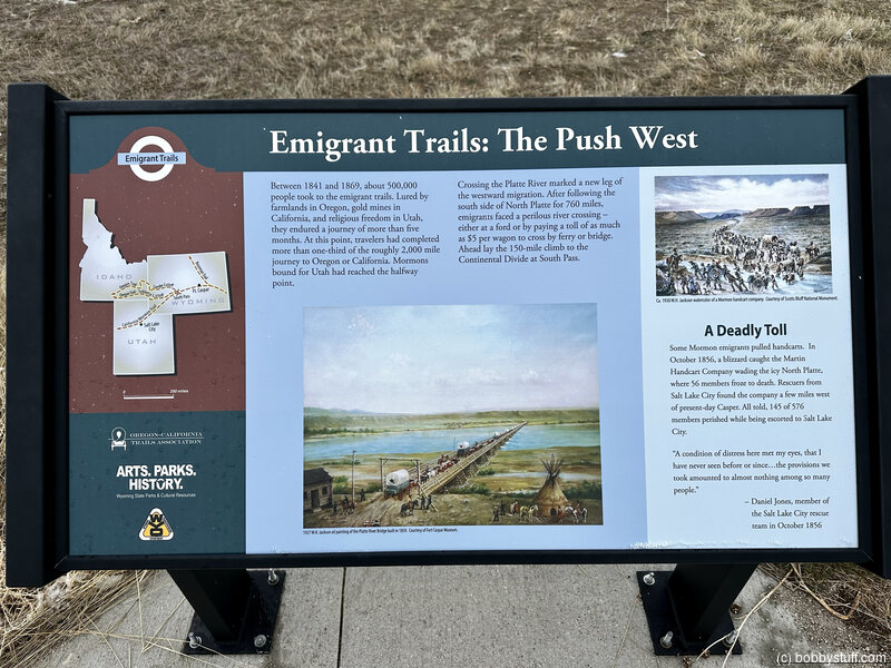
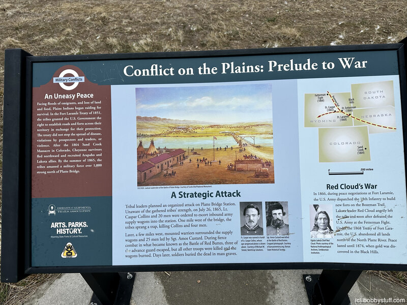
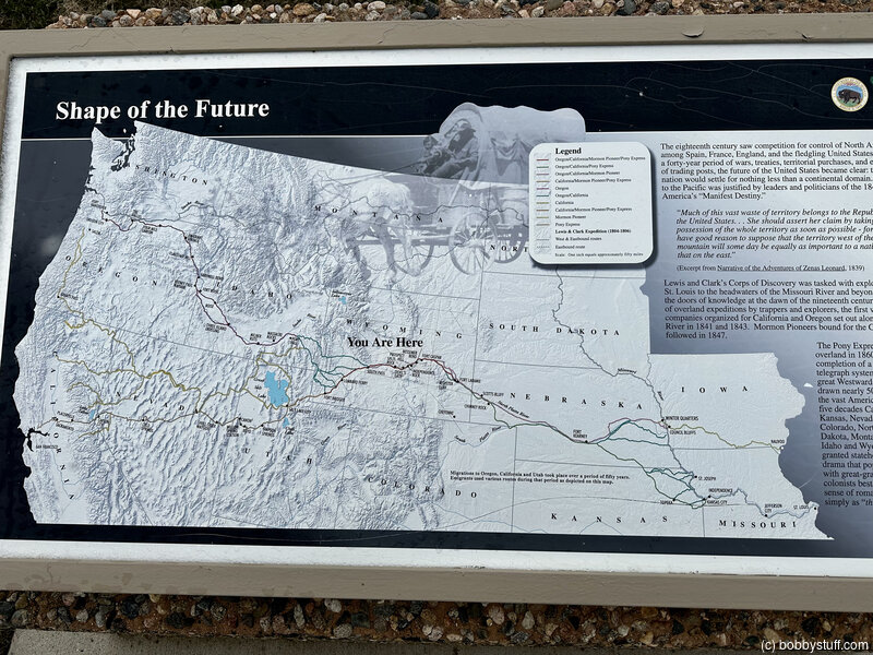
Emigrant Gap Historical SiteMany emigrant pioneers passed through this gap, or opening, in Emigrant Ridge between the 1840's and the 1880's as they traveled the Oregon-Mormon Trail by oxen-drawn wagons, on horseback, or on foot. The trail generally followed the North Platte River from the Scottsbluff, Nebraska area to crossings near Fort Caspar (just 8 miles east), which was active between 1862 and 1867. The trail departed from the North Platte River near Fort Caspar, meandering overland toward Willow Springs, Ryan (Prospect) Hill, the Sweetwater River drainage, Independence Rock, South Pass, and beyond to Utah, Oregon and California.
From this point the emigrants had a sweeping view to the west, the scene of their next week's journey. Emigrant Gap signified the departure from the North Platte River valley and the beginning of the ascent into the Rocky Mountains. The trail crossed over the Continental divide at South Pass.
From here you can follow Poison Spider Road to Oregon Trail Road which closely parallels the route of the Oregon-Mormon Trail.
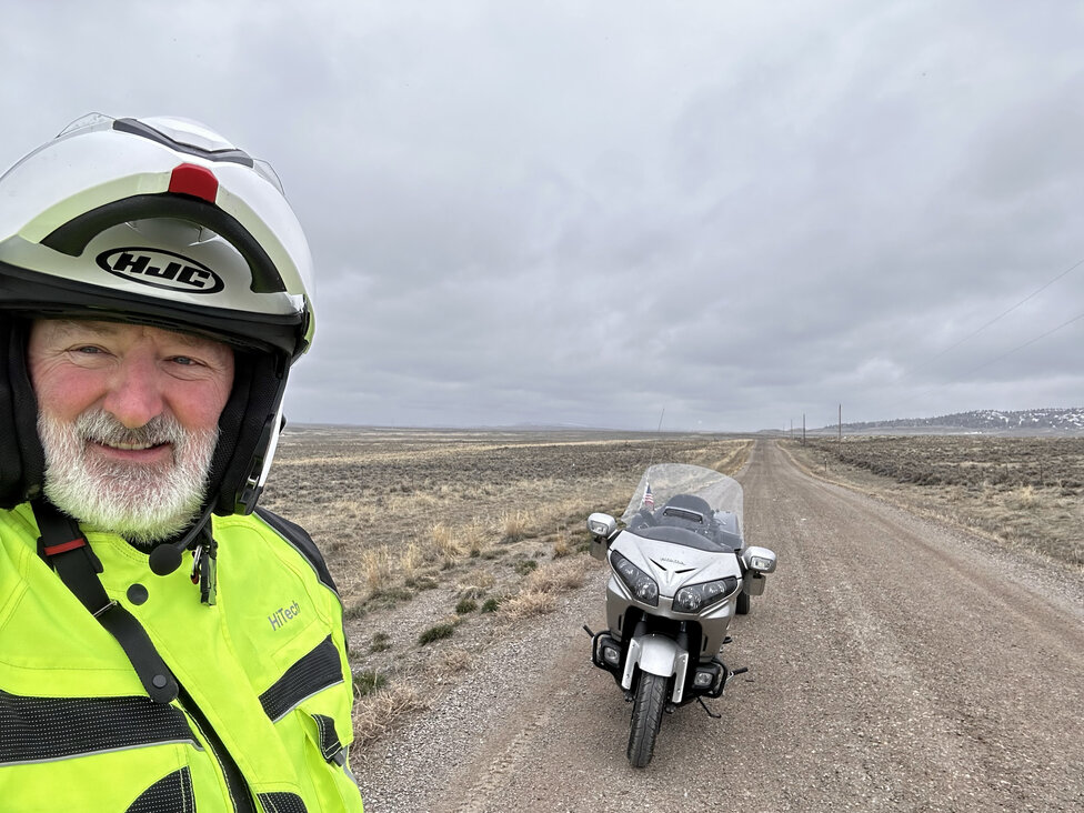
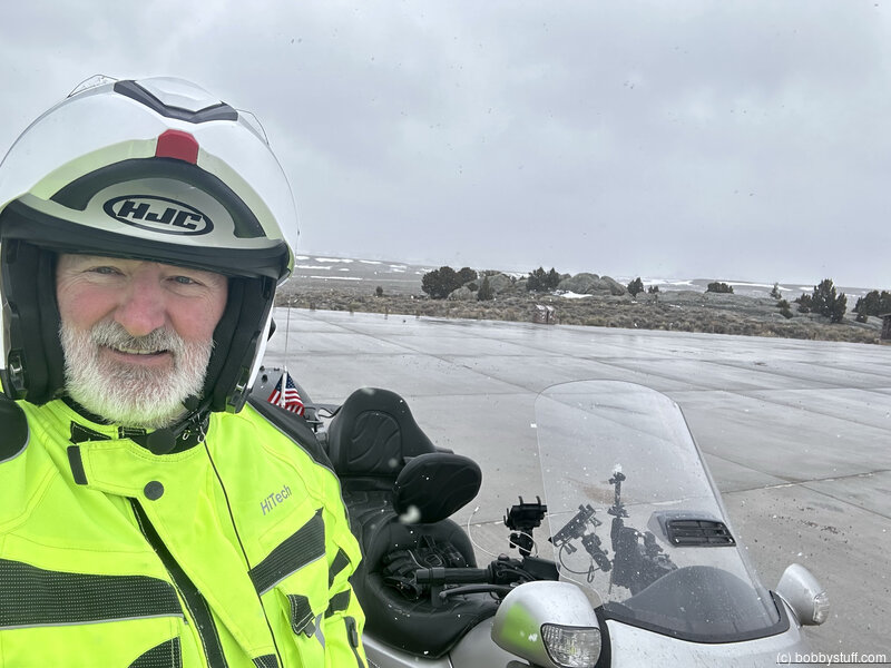
Bobby
Bobby
360 Photo !!!
Click and drag on the photo below to see a 360 view. Pinch to zoom in or out on your mobile device or use your mouse scroll wheel on your desktop. Click the box in the top left of the image to view in full screen.
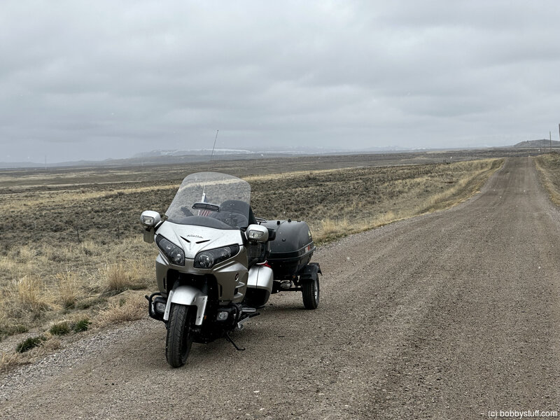
Bobby
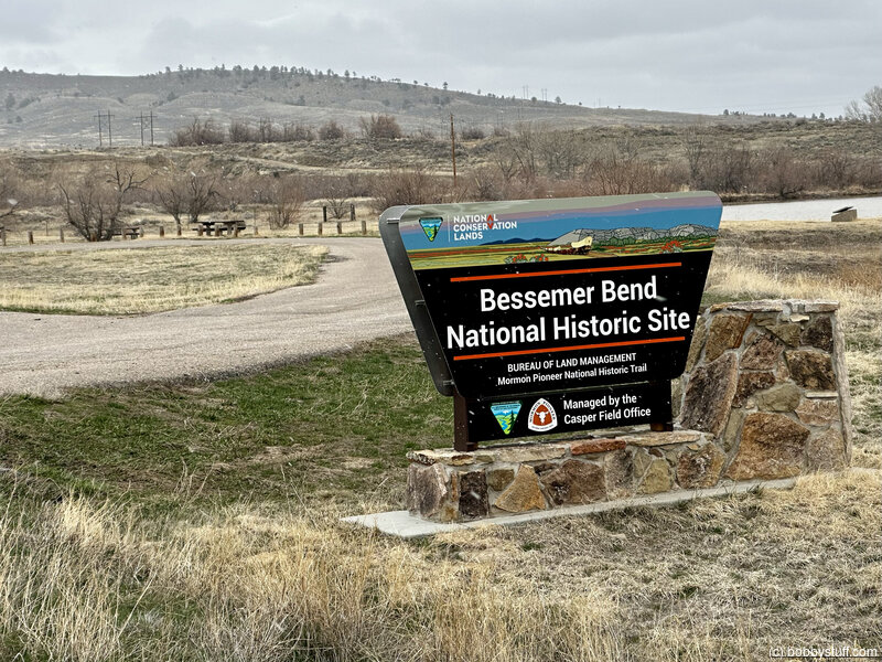
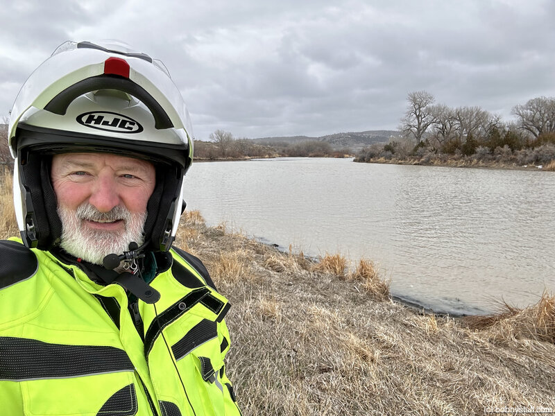
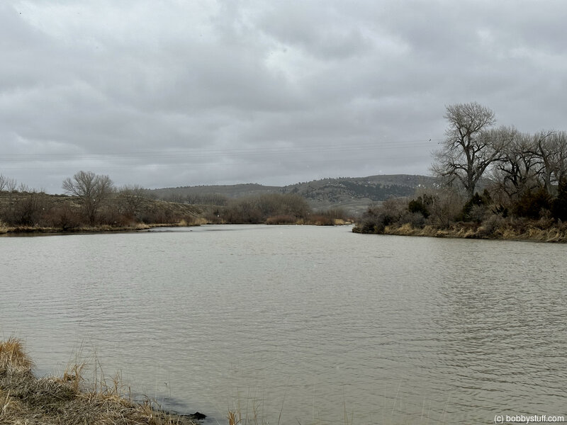
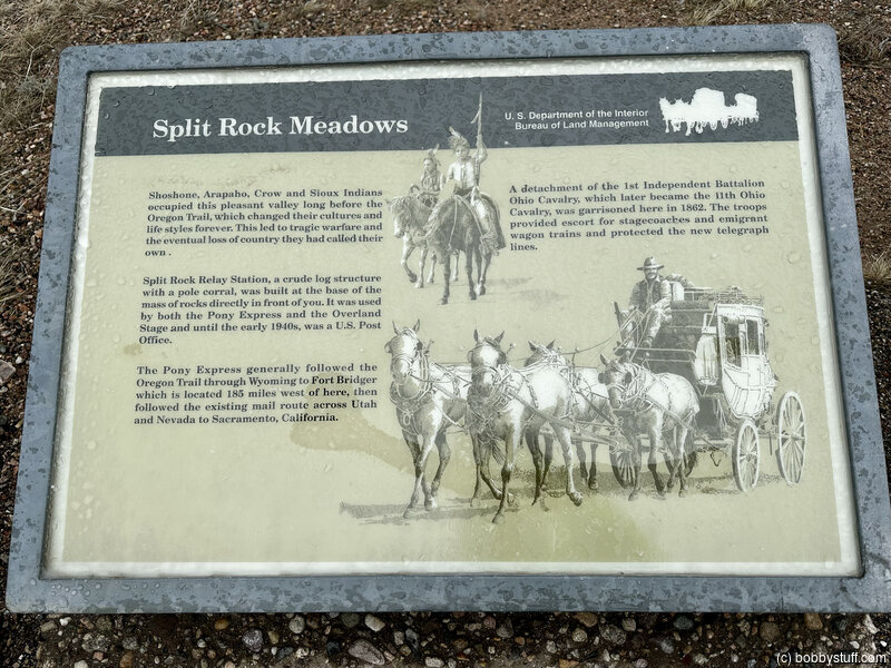
Red Buttes Crossing/Bessemer Bend, south of Casper WY (B-3)
View a list of places like this or a map.nps.gov
Red Buttes Crossing/Bessemer Bend is one of the places where travelers forded the North Platte River - then 300 yards wide - for the last time and started the push toward the Sweetwater River. This crossing was used mostly in the early years of the emigration. After 1847, ferries were available between Casper and Glenrock (Deer Creek).
The Red Buttes Pony Express station and an Overland Stage station also were located in this vicinity. Wayside exhibits at this BLM site tell the story.
While visiting the crossing, look toward the east to see the Red Buttes, the noted emigrant-era landmark that gave the crossing its name.
Historical Marker
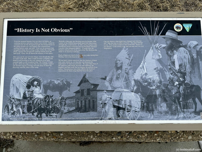
"History Is Not Obvious"From the moment humans first saw these red buttes, an enduring memory and sense of place was created. Gone for centuries now are the aboriginal people that hunted bison on the plains around you, and trappers that ventured here seeking beaver, mink, and otter. Gone are the pioneers that struggled to keep their footing as they forded the cold North Platte, and the first prospectors seeking fortune from the land itself.
Gone, but all shared the memory of this place.
Here you can be sure of some things, even though they left no mark on the land. Here a child sat near a campfire and heard a wolf howling in the cold, damp air of an early summer night, as she wondered what "the Oregon" would be like. From the ridge across the river an Arapaho warrior saw the first wagons crossing and rode away to share his discovery with the elders of his camp.
Beneath a slate sky blowing snow in October 1856, a party of the faithful buried their dead with what frozen strength they could muster. In 1861 a Pony Express rider hurried his mount westward carrying President Abraham Lincoln's first inaugural address. A month later, the Express relayed the news of the start of the War Between the States to an anxious California.
Each of them saw much of what you see today during their fleeting visit to this bend in the river.
We are brief visitors ourselves, like the shadows of those who came before us, yet that does not demising the importance of what occurred here. We share their fears of the unknown path ahead, the tears and sufferings, the laughter and hard work that accompany the growth of our nation. Your presence here today affirms the worth of experiences by those long departed from this place.
Can you observe what might have changed and what has not? Take time to reflect and learn - this place belongs to you. Poet Andrei Codrescu once wrote that "history is not obvious." Look closely, now, and you may see it in your imagination.
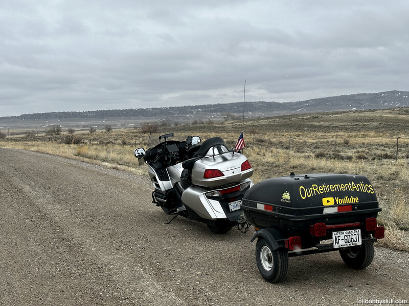
Bobby
Bobby
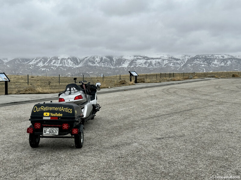
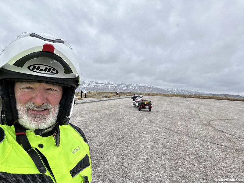
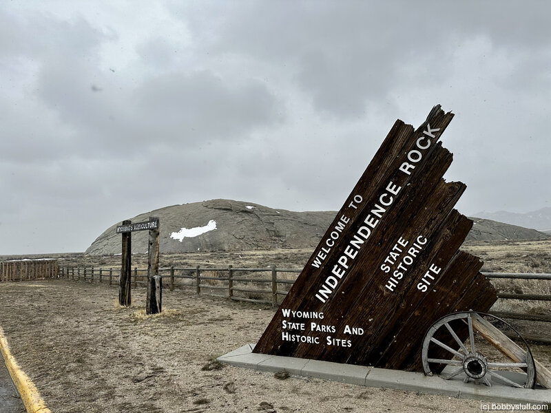
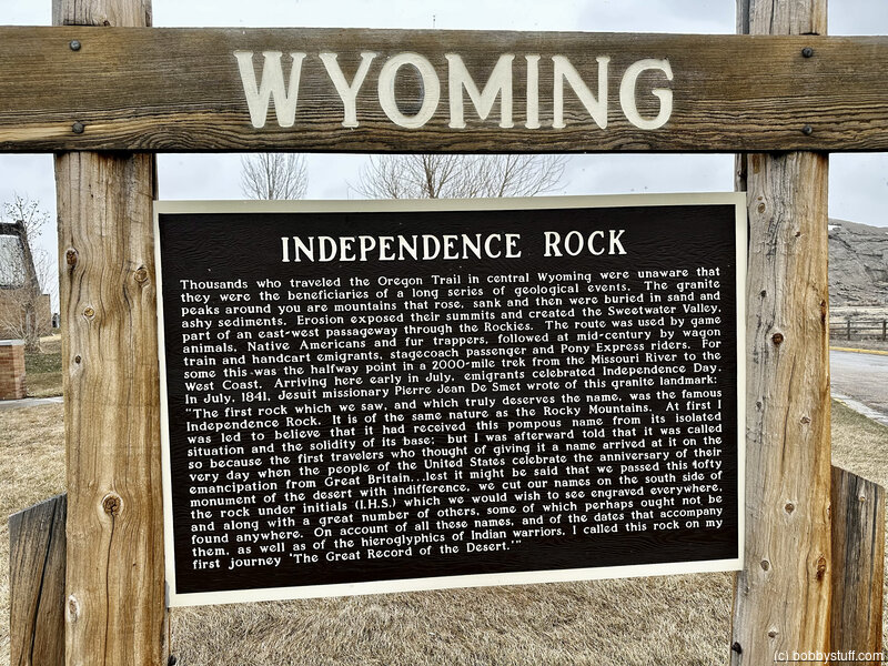
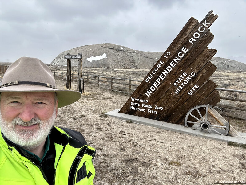
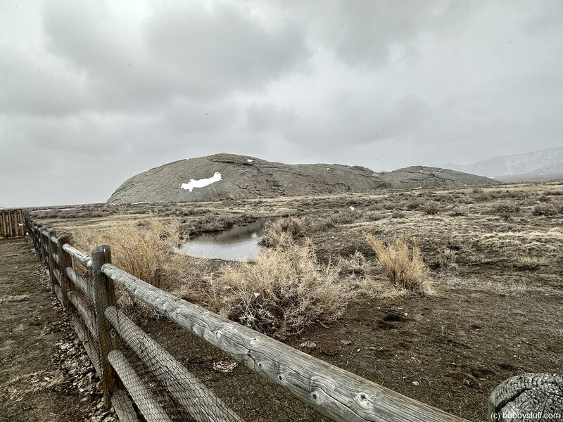
Independence Rock, Alcova WY (B-4)
View a list of places like this or a map.nps.gov
Independence Rock was the most-noted landmark of the wagon trails west of Fort Laramie. Thousands of emigrants camped at the foot of the looming outcrop, and many carved their names into the granite. Today the site is a National Historic Landmark and a state historic site, managed for the public by the State of Wyoming.
Interpretive exhibits tell the trail story, and historic inscriptions are visible from footpaths around the rock. As you follow the path from parking to the site, watch for nearby trail ruts and note the deep wagon swale passing beneath the footbridge.
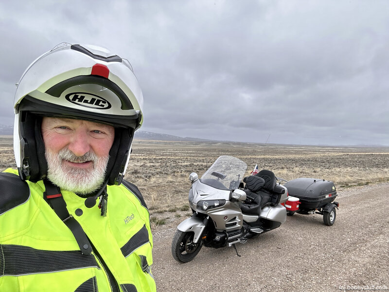
Bobby
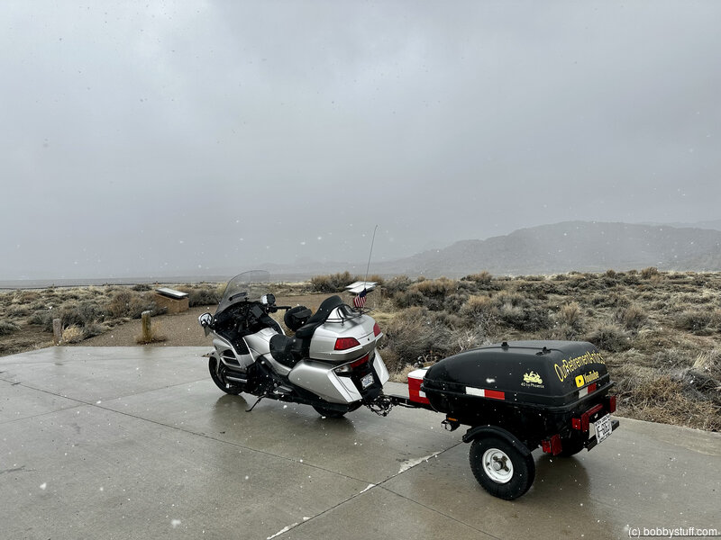
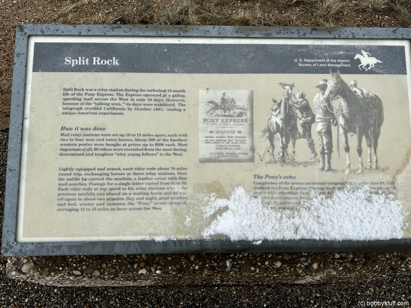
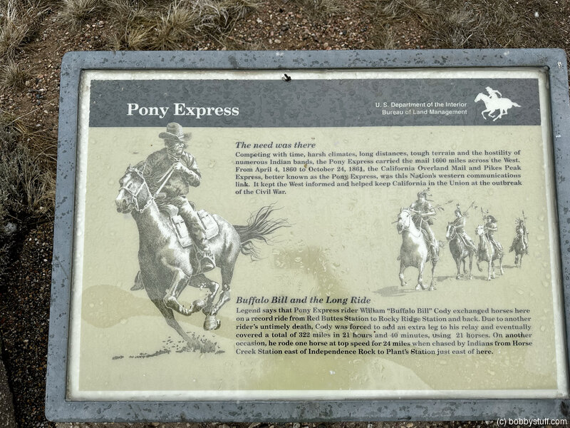
Split Rock, Rawlins WY (B-9)
View a list of places like this or a map.nps.gov
Split Rock is a "gun sight" notched landform that guided emigrants directly toward South Pass. Interpretive exhibits tell the story.
Historical Marker
Split rockA famous natural landmark used by Indians, trappers, and emigrants on the Oregon Trail. Site of Split Rock Pony Express 1860-1861. Stage and telegraph station is on the south side of the Sweetwater.
Split Rock can be seen as a cleft in the top of the Rattlesnake Range.
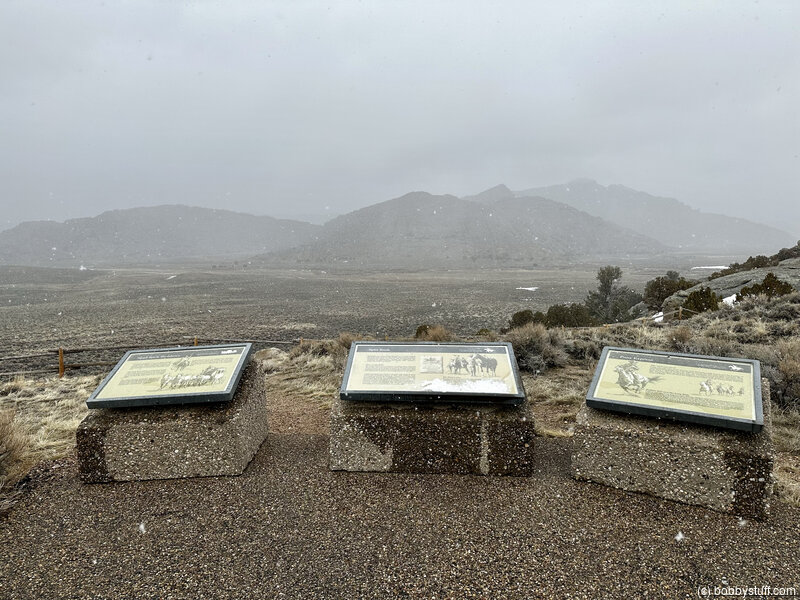
Bobby
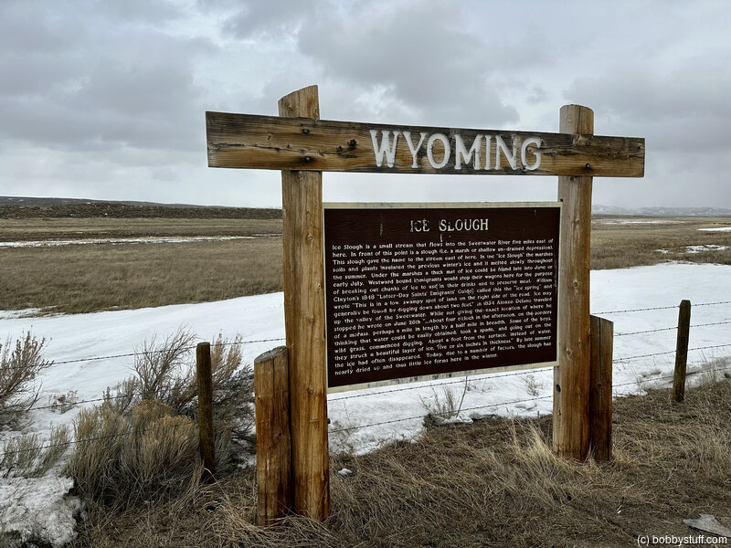
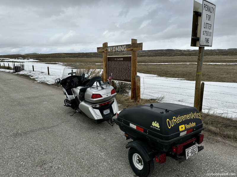
Ice Slough Marker, Lander WY (B-10)
View a list of places like this or a map.Historical Marker
Ice SloughIce Slough is a small stream that flows into the Sweetwater River five miles east of here. In front of this point is a slough (i.e. a marsh or shallow un-drained depression). This slough gave the name to the stream east of here. In the "Ice Slough" the marshes soils and plants insulated the previous winter's ice and it melted slowly throughout the summer. Under the marshes a thick mat of ice could be found late into June or early July.
Westward bound immigrants would stop their wagons here for the purpose of breaking out chunks of ice to use in their drinks and to preserve meat. William Clayton's 1848 "Latter-Day Saints' Emigrants' Guide" called this the "ice spring" and wrote "This is in a low, swampy spot of land on the right side of the road. Ice may generally be found by digging down about two feet."
In 1854 Alonzo Delano traveled up the valley of the Sweetwater. While not giving the exact location of where he stopped he wrote on June 26th "... About four o'clock in the afternoon, on the borders of a morass, perhaps a mile in length by a half mile in breadth. Some of the boys, thinking that water could be easily obtained, took a spade, and going out on the wild grass, commenced digging. About a foot from the surface, instead of water, they struck a beautiful layer of ice, five or six inches in thickness."
By late summer the ice had often disappeared. Today, due to a number of factors, the slough has nearly dried up and thus little ice forms here in the winter.
 Elevation Changes During the Day
The day started at 5,195 feet and ended at 5,368 feet. The highest altitude was 6,748 feet and the lowest altitude was 5,124 feet.
| Day 6 - Morrill NE to Casper WY |
Topics
TagsConfederate Statues (32),Motorcycle (99),National Parks (9),Odd (1),Route 66 (33),Unemployment (6),Zombies (1)