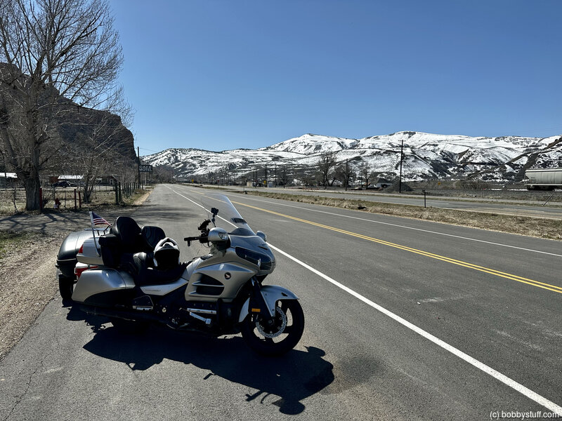
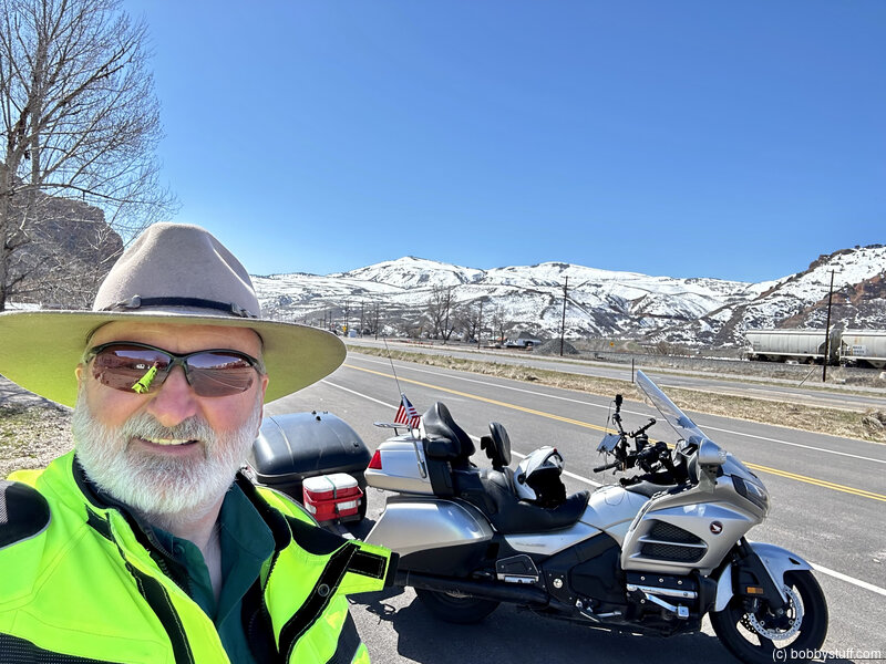
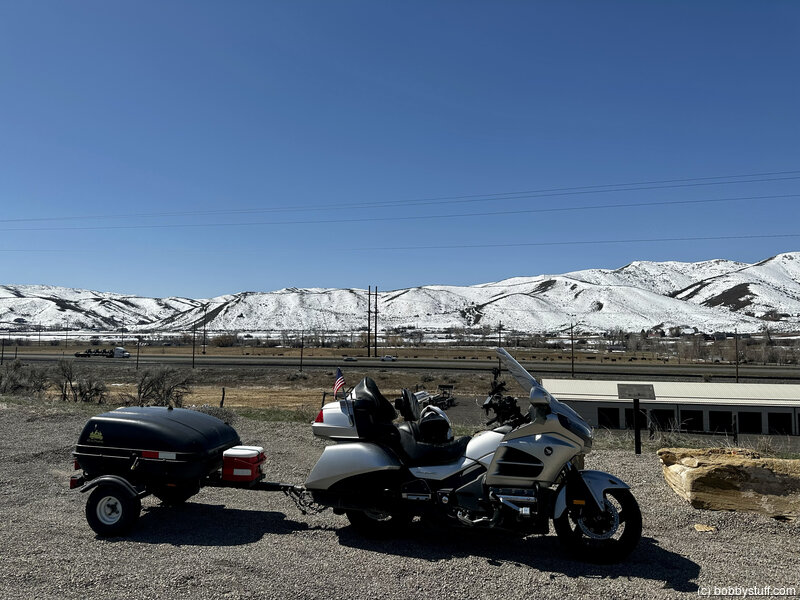
Day 10 - Evanston WY to Logan UT
| Miles for the Day: | 255 |
| Total Trip Miles: | 2877 |
| Start Point: | Evanston, WY |
| Sun Rise: | 6:43 AM MDT |
| Start Altitude: | 6879 feet |
| Start Weather: | At 6:00 AM MDT, the temperature was 27 degrees with 58 percent humidity. The conditions were clear. |
| End Point: | Nibley, UT |
| Sun Set: | 8:09 PM MDT |
| End Altitude: | 4451 feet |
| End Weather: | At 6:00 PM MDT, the temperature was 64.3 degrees with 28 percent humidity. The conditions were clear. |
Table of Contents
 Google Map Track Log
 YouTube Video
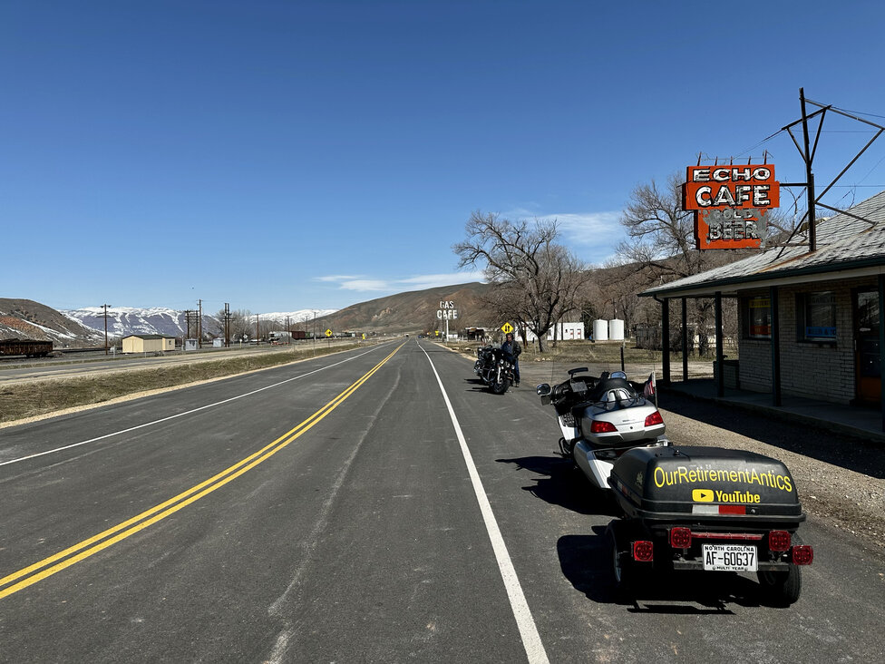
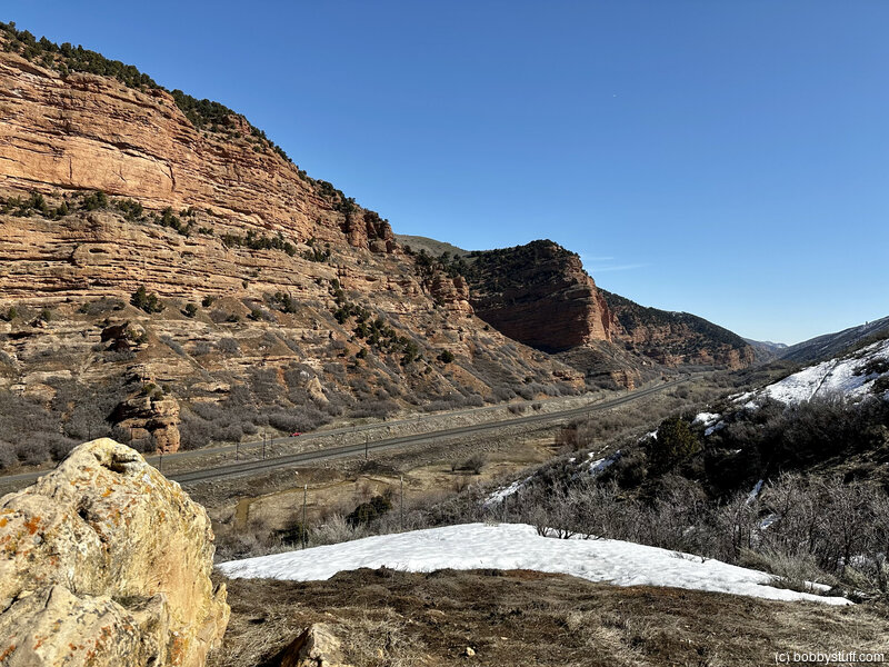
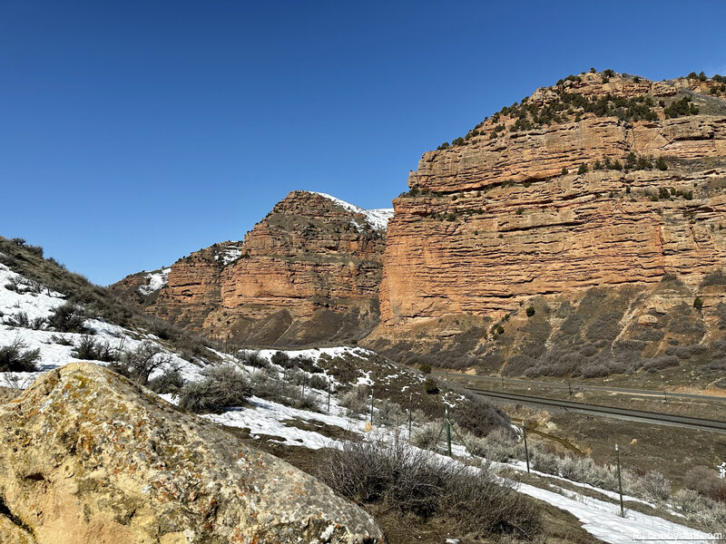
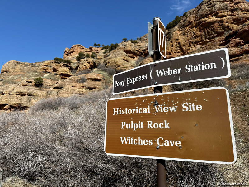
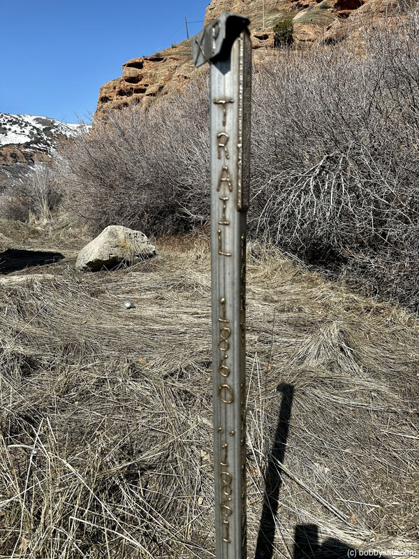
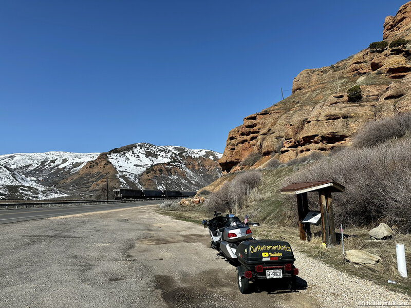
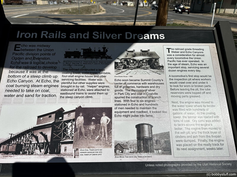
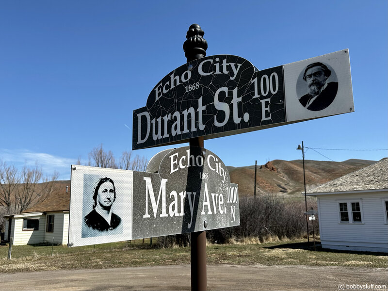
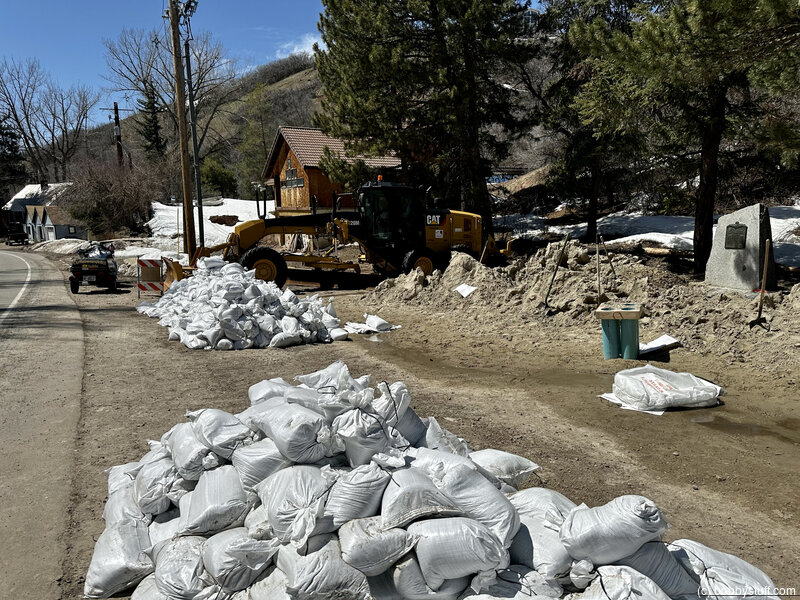
 Welcome to Echo Canyon Marker, near Echo UT
View a list of places like this or a map.Historical Marker
Welcome to Echo Canyon. One of Summit County's Historic and Picturesque TreasuresListen, if you will, to the melodic plodding of the oxen as they methodically pull the immigrants and their dreams across the landscape of this canyon. Through rocks of amber and brush of sage, the resilient but gentile giants played their part, weaving a legacy through this land.
He stands alone once more, this unsung hero. In this place representing a time and a memory where valor existed and fearlessness reigned. Not forgotten, are the creatures or the people and their acts of courage. We honor them.
With little effort you can hear the echoes of the long gone sounds of wagon wheels, oxen, women, children, and men forging their path into history and into our hearts.
Upon this ground, where you now stand, exist the traces left here by Indians, trappers, immigrants, Pony Express, stagecoach, outlaws, railroad and telegraph without them we would not exist in the world we now know. We will remember.
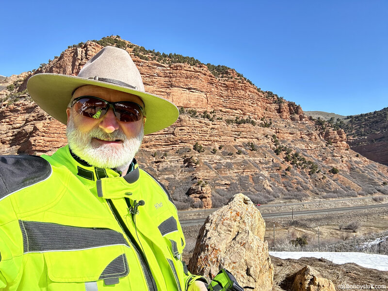
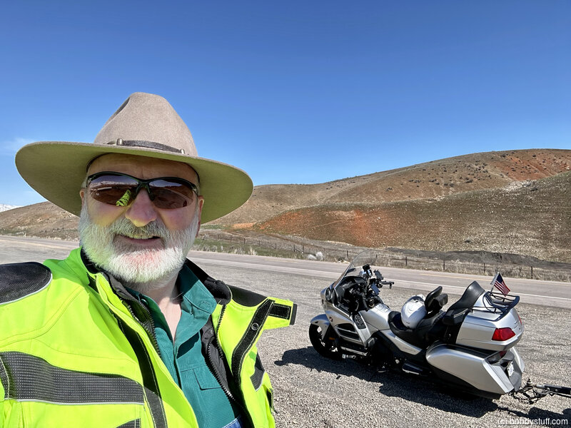
Bobby
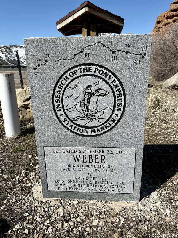
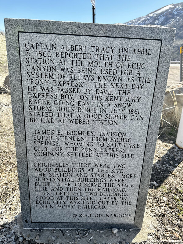
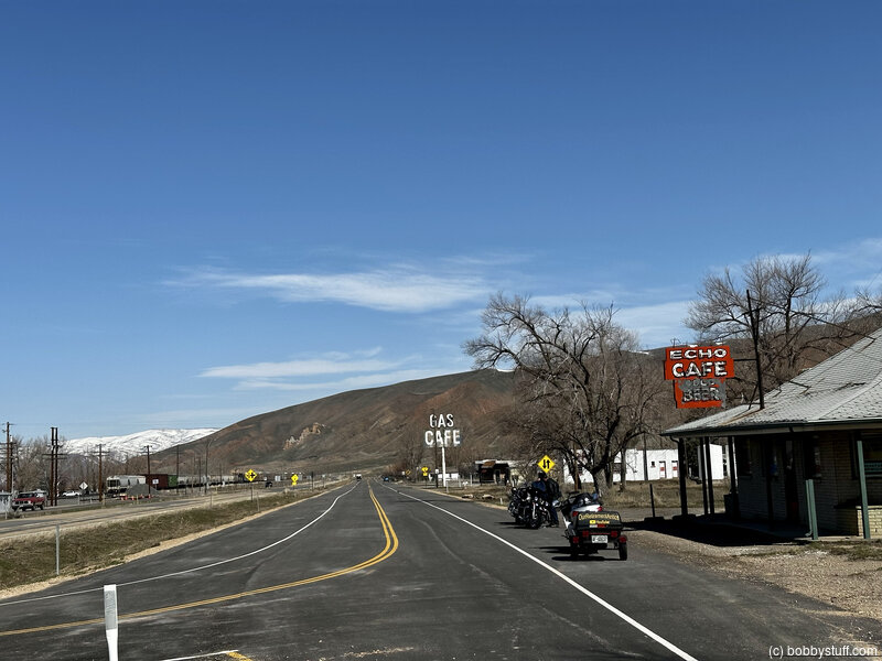
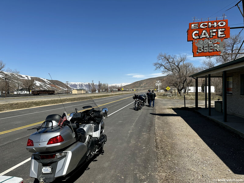
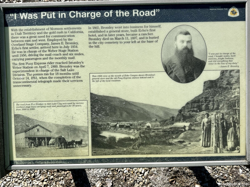
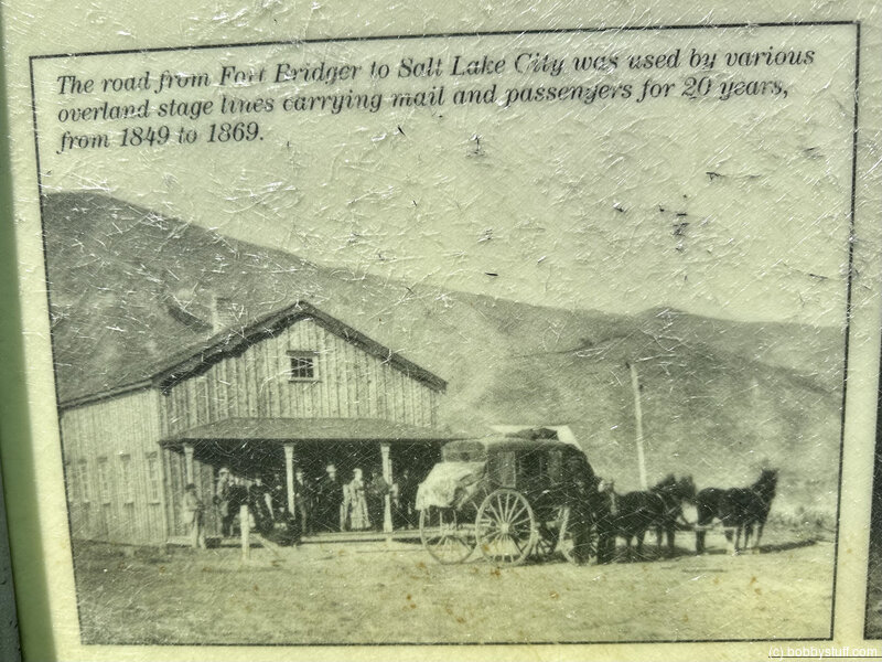
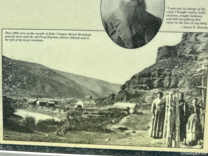
The Weber Station, Echo UT
View a list of places like this or a map.nps.gov
The Weber Station began as a settler's isolated log cabin and blacksmith shop in 1854 and later served as a stage stop and Pony Express home station. As Union Pacific workers poured into the area in 1868, a rollicking railroad boom-town sprang up around the station.
Local lore holds that several artifacts and a love letter to a Pony Express rider were discovered hidden in the walls of the old station building when it was torn down years later, but that story, like many others concerning the Pony Express, has been discredited. The stone building in which the items supposedly were found was built around 1866, at least six years after the Pony Express shut down.
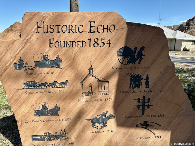
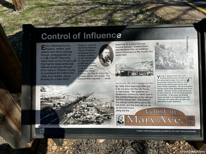

The Echo Town Interpretive Area, Echo UT
View a list of places like this or a map.nps.gov
The Echo Town Interpretive Area includes interpretive wayside exhibits about James Bromley and the Pony Express, the Mormon Pioneer Trail, and the settlement history of the area.
Bobby
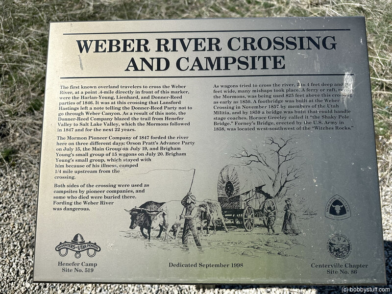
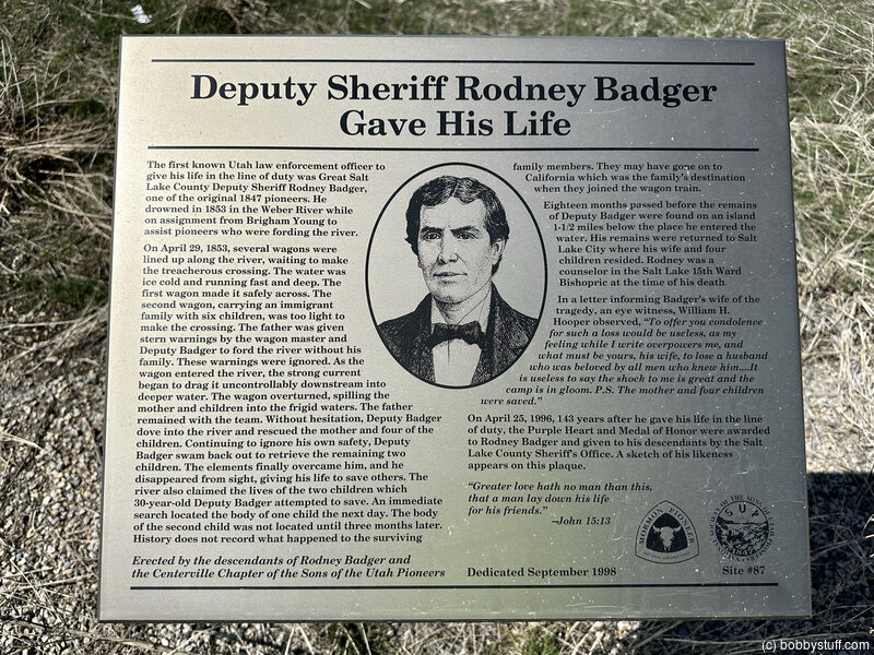
Weber River Crossing, Henefer UT
View a list of places like this or a map.nps.gov
In this vicinity the 20-wagon Donner-Reed Party found a note from Lansford Hastings warning them not to attempt passage through Weber Canyon. Not knowing how to proceed, the bewildered emigrants camped near here (where I-80 crosses the Weber River) for 5 precious days while James Reed rode ahead to find Hastings, who was escorting an earlier wagon train westward.
Based on Hastings's advice, the emigrants crossed the Weber River here on Aug. 11 and cut their own way through the Wasatch Mountains to the Salt Lake Valley.
Interpretive exhibits at a turnout near the river crossing touch on these events and also tell of a deputy sheriff who drowned at the ford while rescuing emigrants in 1853. From here, the trail crossed streams more than 40 times before entering Salt Lake Valley.
The road blazed by the Donner-Reed Party and improved by Mormon pioneers the following summer became the main road into the Salt Lake Valley.
Bobby
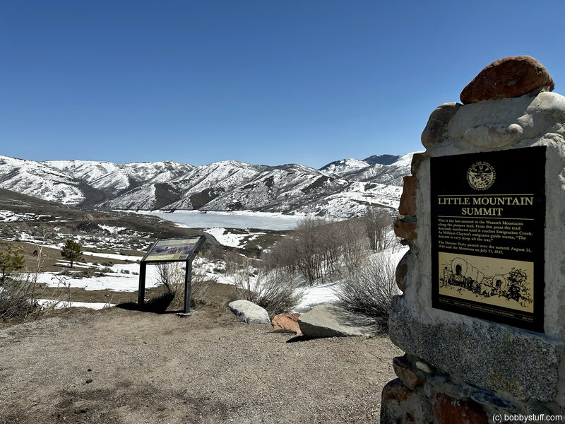
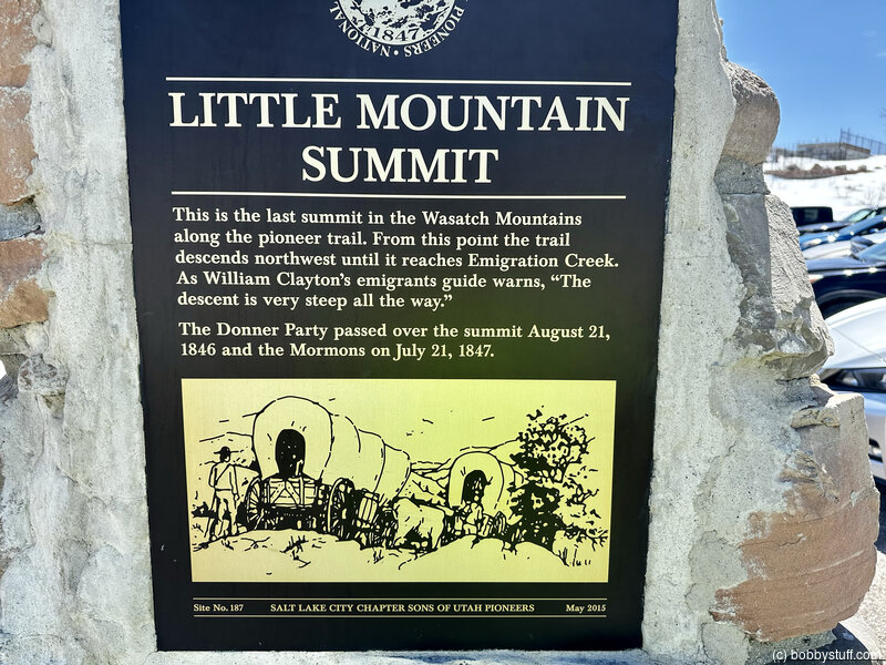
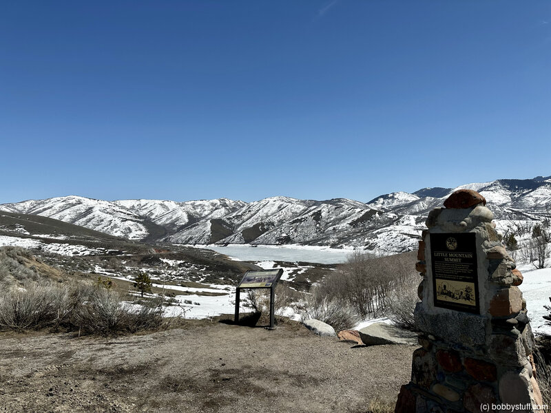
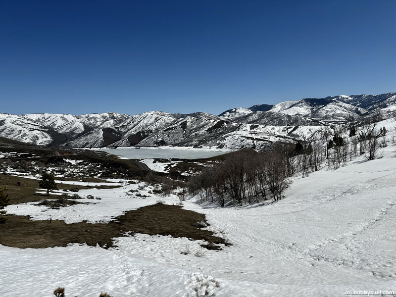
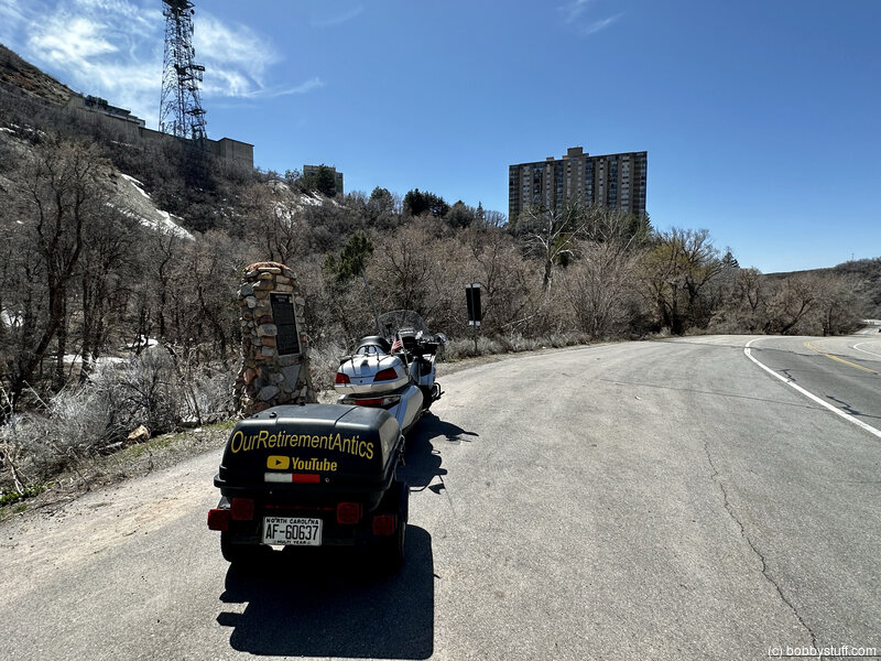
Little Mountain Summit, Salt Lake City UT
View a list of places like this or a map.nps.gov
Little Mountain Summit posed another steep climb for weary travelers and livestock. Here emigrants had to double- or triple-team their oxen for the ascent, then lock their wagon wheels and skid down the mountainside to Emigration Canyon. A stone monument, an interpretive wayside exhibit about the Mormon Trail, and restrooms are located at a turnout here.
Look down-slope from the wayside exhibit toward a white fiberglass post set between two red sandstone blocks, which marks wagon swales approaching the crest of the mountain. The trail alignment continues diagonally across the highway. Carefully cross to the opposite side of the road and look down the hillside to view wagon ruts descending Little Mountain. Now look into the distance. Here Brigham Young's scouts caught their second joyful glimpse of the Salt Lake Valley.
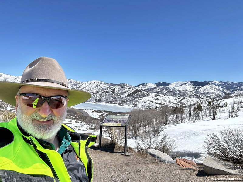
Bobby
Brigham Young's Last Camp, Salt Lake City UT
View a list of places like this or a map.nps.gov
Brigham Young's Last Camp before entering the Salt Lake Valley is commemorated by a granite monument at a roadside turnout. Here Young's small sick-party, delayed by his illness, spent the night of July 23, 1847. The other members of the Mormon pioneer company had entered the Salt Lake Valley the previous day.

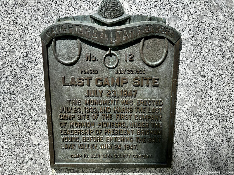
Bobby
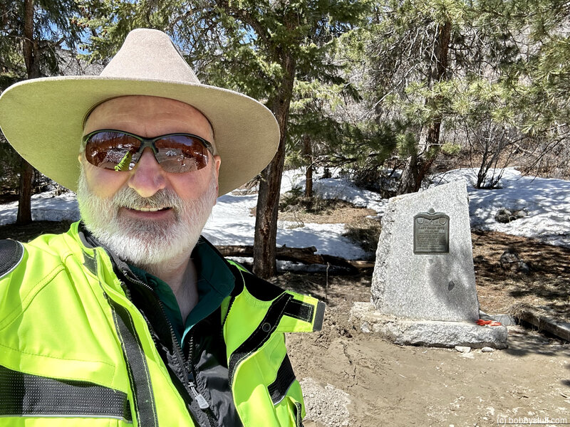
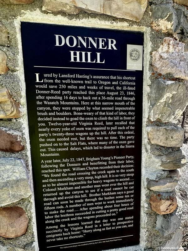
Donner Hill, Salt Lake City UT
View a list of places like this or a map.nps.gov
Donner Hill hammered yet another nail into the Donner-Reed coffin. For 12 days the emigrants had gnawed a track through the rugged Wasatch wilderness, and now, at the very edge of the Salt Lake Valley, limestone outcrops and dense willows blocked their exit from the mouth of Emigration Canyon. The discouraged travelers pulled to the left out of the creek bottom and up the 200-foot-high ridge that thereafter would bear their name. The effort nearly used up the strength of their oxen.
The next year Brigham Young's vanguard pioneer party, having more men for the labor, opened a road through the blockage, avoiding the hill climb, in just 4 hours' time. The current roadbed approximates their route.
Today, Emigration Canyon is widened and the top of Donner Hill has been leveled to make room for residential development. But the hill is still impressive and Emigration Creek, edged by willow andscrub oak, still runs along the south side of Emigration Canyon Road.
Visitors can easily envision how this spot looked in 1846-47.
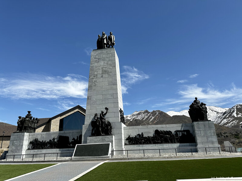
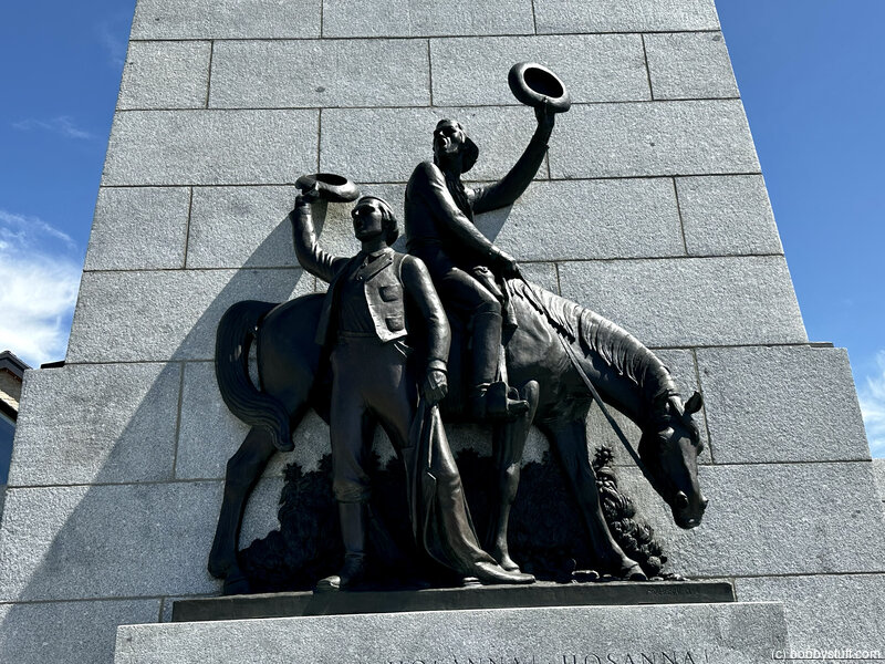
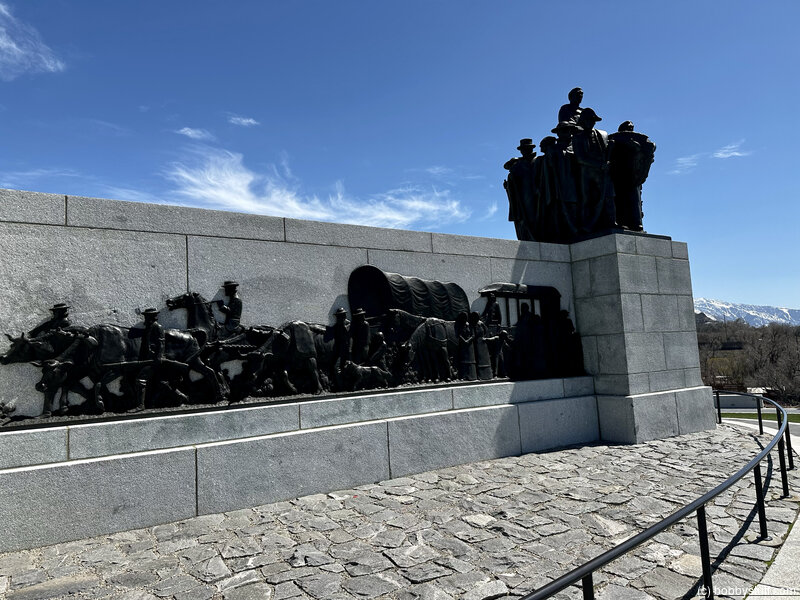
This Is The Place Heritage Park, Salt Lake City UT
View a list of places like this or a map.nps.gov
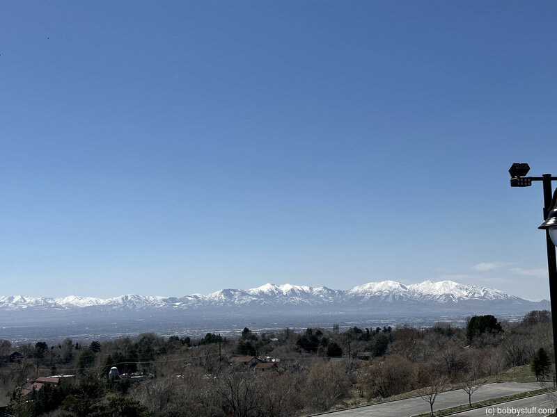
This Is The Place Heritage Park commemorates the arrival of Mormon pioneers in the Valley of the Great Salt Lake. Mormon tradition holds that when Brigham Young first gazed on the valley from this vicinity on July 24, 1847, he experienced a heavenly vision that led him to declare, "It is enough. This is the right place."
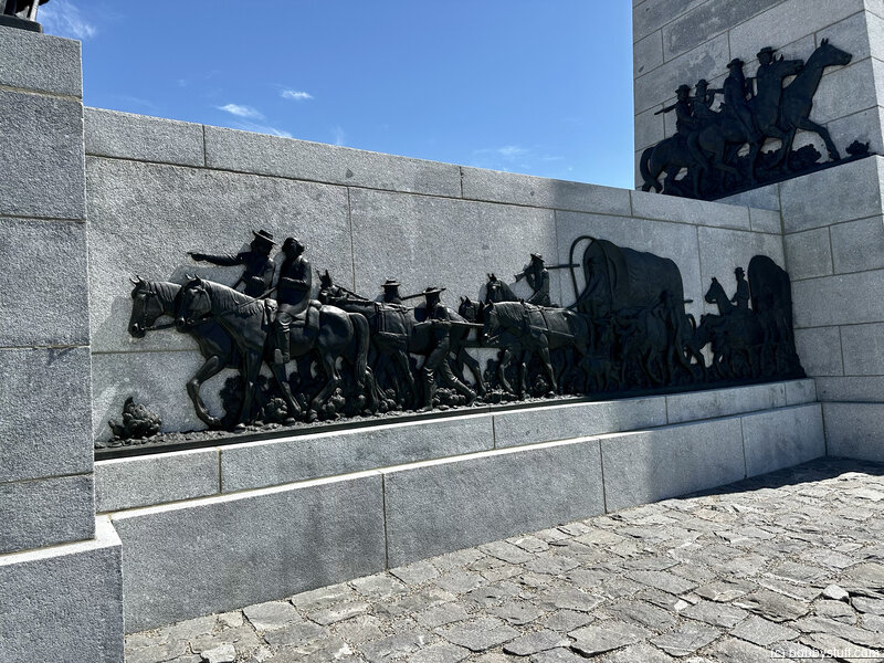
Inside the 450-acre park is the National Pony Express Monument with a replica Pony Express station, a dramatic Avard Fairbanks sculpture of a relay rider changing horses, and several interpretive wayside exhibits.
The Latter-day Saints were home at last. This Is The Place Heritage Park, near the location where Brigham Young first surveyed the valley, is considered the terminus of the Mormon Pioneer National Historic Trail. But as the City of the Saints grew from a rustic frontier village to a bustling territorial capital, many California-bound travelers paused here for a layover to rest, re-supply, or spend the winter — or, as in the case of English adventurer Sir Richard Burton, to satisfy their curiosity about Brigham Young and the Mormons.
The Pony Express descended the canyon and went through town, too, carrying mail to a home station on Main Street.
Salt Lake City, a pioneer way-station as well as a destination, is rich in the combined history of the three trails.
Bobby
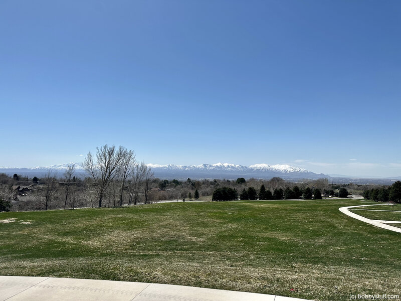
 Elevation Changes During the Day
The day started at 6,879 feet and ended at 4,451 feet. The highest altitude was 6,879 feet and the lowest altitude was 4,190 feet.
| Day 9 - Lander WY to Evanston WY |
Topics
TagsConfederate Statues (32),Motorcycle (97),National Parks (9),Odd (1),Route 66 (33),Unemployment (6),Zombies (1)