Day 13, Monument Valley to Cortez, CO
| Miles: | 199 |
| Start Point: | Oljato-Monument Valley, UT |
| Sun Rise: | 6:37 AM MDT |
| Start Weather: | At 6:00 AM MDT the temperature was 52.8 ° with 33% humidity. The conditions were clear with a wind speed of 6.3 MPH and wind gusts of 6.5 MPH. |
| End Point: | Cortez, CO |
| Sun Set: | 7:56 PM MDT |
| End Weather: | At 6:00 PM MDT the temperature was 68.3 ° with 18% humidity. The conditions were clear with a wind speed of 3.1 MPH and wind gusts of 10.1 MPH. |
Table of Contents


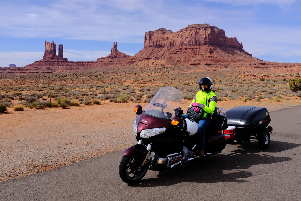
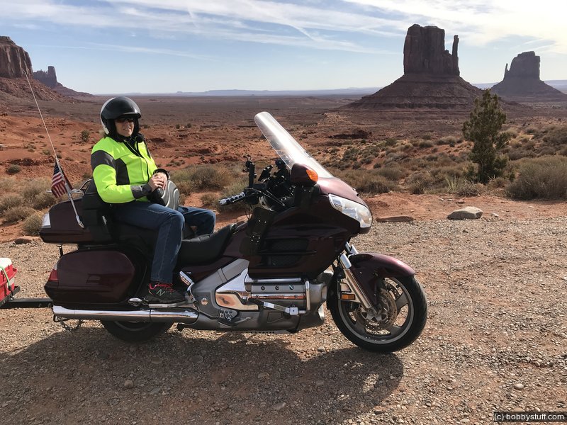
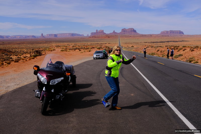
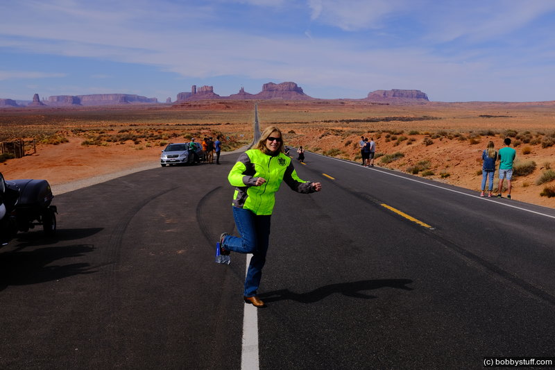
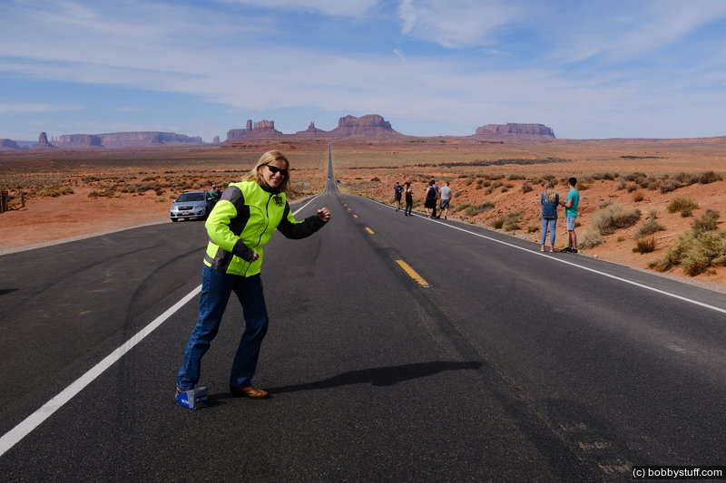
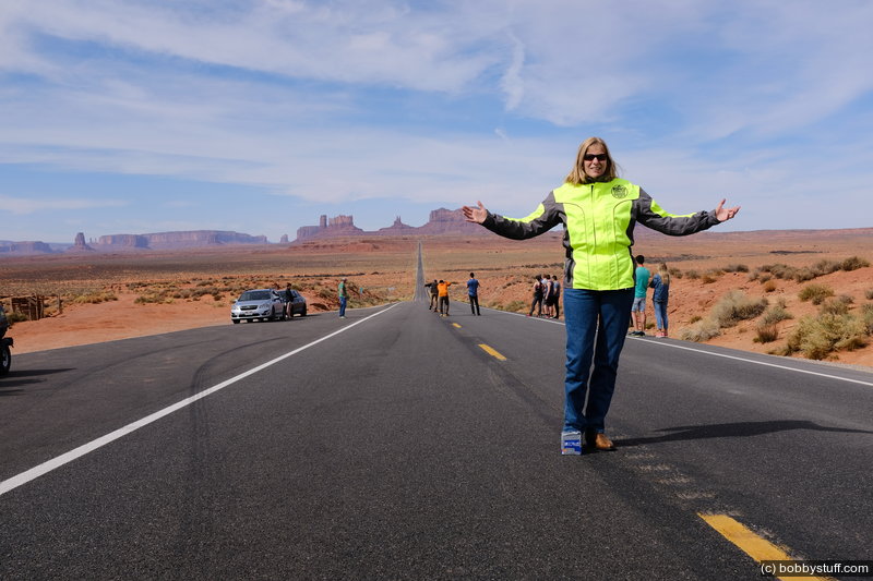
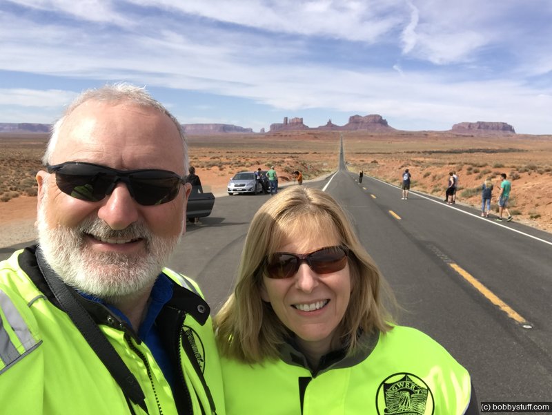
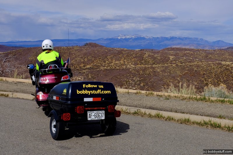
The Wal Mart box is doing a great job of protecting Laurie's toe from the wind. She modeled it for some photos at Forrest Gump Point.
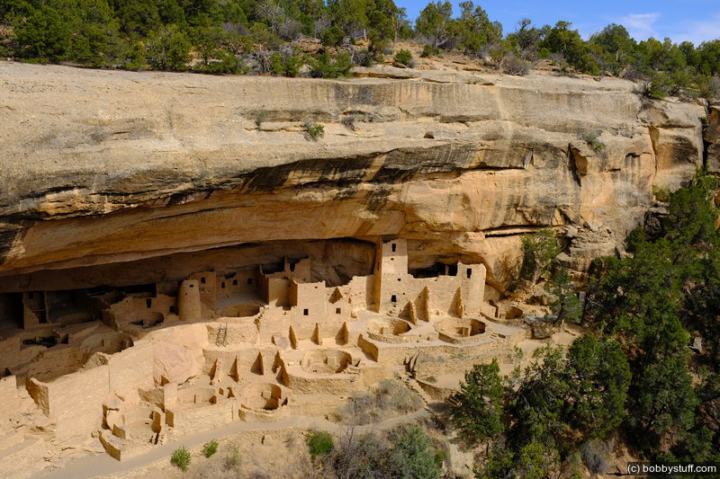
Later we took a ride through Mesa Verde to end the day.
Apr 22, 2018 Sun 10:27:29 AM MDT
Altitude: 5123 ft Camera: iPhone 7 PlusDisplay on Google Map
Bobby, Laurie
Bobby, Laurie
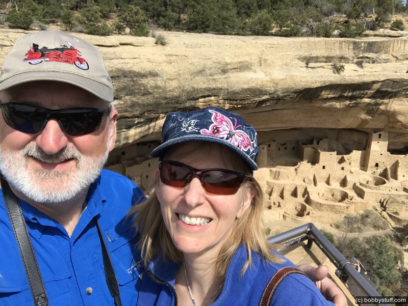
Apr 22, 2018 Sun 3:40:24 PM MDT
Altitude: 6769 ft Camera: iPhone 7 PlusDisplay on Google Map
Bobby, Laurie
Bobby, Laurie
 Elevation Changes During the Day
The day started at 5,588 feet and ended at 6,121 feet. The highest altitude was 8,442 feet and the lowest altitude was 4,164 feet.
 Google Map Track Log
Pick a trip from the first drop down list below.