Day 9, Springerville, AZ to Phoenix
| Miles: | 260 |
| Start Point: | Springerville, AZ |
| Sun Rise: | 5:43 AM MST |
| Start Weather: | At 6:00 AM MST the temperature was 27.3 ° with 29% humidity. The conditions were clear with a wind speed of 3.3 MPH and wind gusts of 5.1 MPH. |
| End Point: | Deer Valley, AZ |
| Sun Set: | 7:02 PM MST |
| End Weather: | At 6:00 PM MST the temperature was 80.2 ° with 8% humidity. The conditions were clear with a wind speed of 2.3 MPH and wind gusts of 6.6 MPH. |
Table of Contents
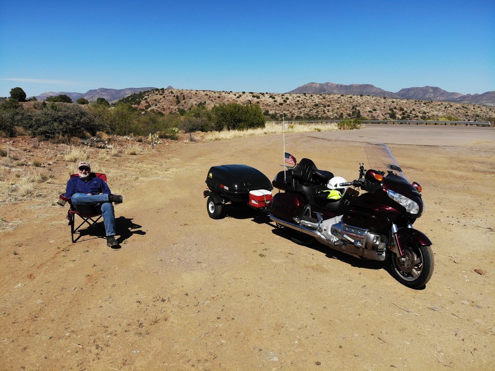
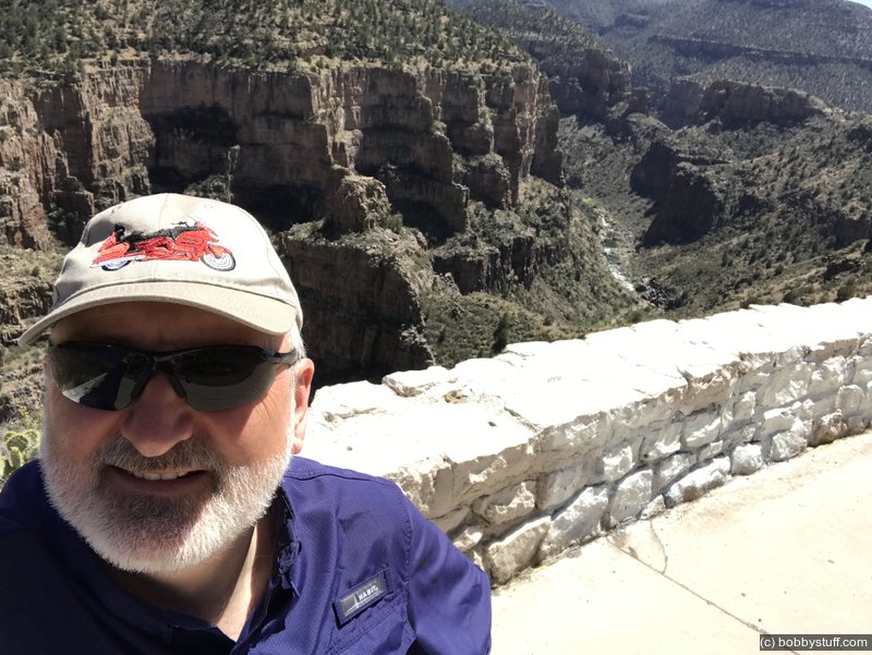
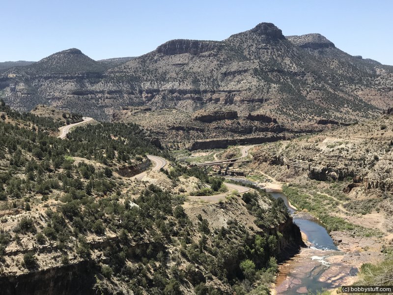
The photos below are at the Salt River Canyon. My dad really likes this place as he drove through here back in the 60's before I-40 existed. Be sure to click and drag the 360 photo below.
360 Photo !!!
Click and drag on the photo below to see a 360 view. Pinch to zoom in or out on your mobile device or use your mouse scroll wheel on your desktop. Click the box in the top left of the image to view in full screen.
Mar 5, 2022 Sat 5:29:30 PM MST
Altitude: 4570 ft Camera: iPhone9,4 - 11.3Display on Google Map
Overlook on US 60, near Salt River, western AZ
Overlook on US 60, near Salt River, western AZ
360 Photo !!!
Click and drag on the photo below to see a 360 view. Pinch to zoom in or out on your mobile device or use your mouse scroll wheel on your desktop. Click the box in the top left of the image to view in full screen.
Mar 5, 2022 Sat 5:29:26 PM MST
Altitude: 4273 ft Camera: iPhone9,4 - 11.3Display on Google Map
Overlook on US 60, near Salt River, western AZ
Overlook on US 60, near Salt River, western AZ
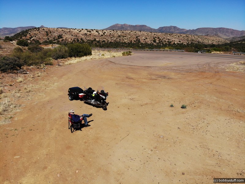
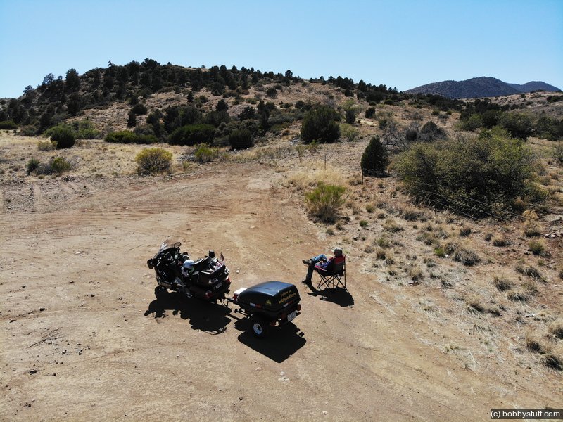
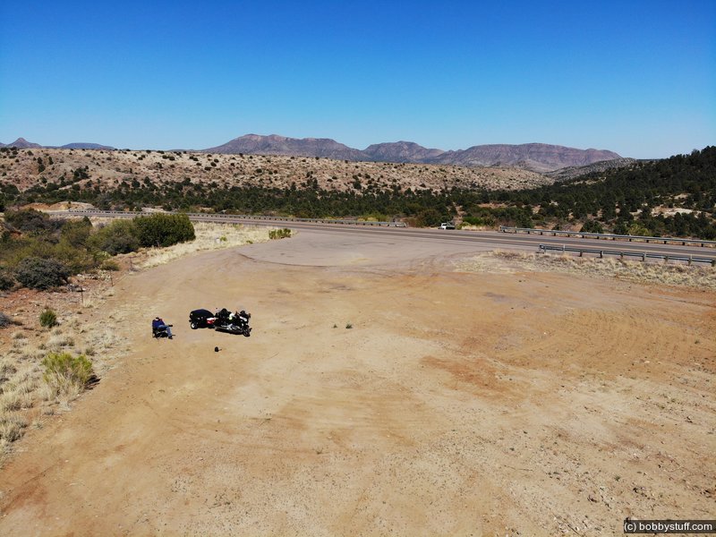
Drone Photos
I am on my second DJI drone and love it. I have the Magic Air drone and hoped to play with it more in New Mexico on lonely Route 66 but the winds were too strong. But stubbornness won and I got it out on US 60 in Arizona. The photo at the top of this blog and the photos below were taken with the drone at a wide spot in the road. Be sure to click and drag around in the photo to see a 360 view.
 Elevation Changes During the Day
The day started at 6,960 feet and ended at 1,090 feet. The highest altitude was 7,272 feet and the lowest altitude was 1,090 feet.
 Google Map Track Log
Pick a trip from the first drop down list below.