
Day 7, More Route 66 Photos
| Miles: | 291 |
| Start Point: | Amarillo, TX |
| Sun Rise: | 7:31 AM CDT |
| Start Weather: | At 6:00 AM CDT the temperature was 41 ° with 84% humidity. The conditions were clear with a wind speed of 3.5 MPH and wind gusts of 5.3 MPH. |
| End Point: | Moriarty, NM |
| Sun Set: | 7:28 PM MDT |
| End Weather: | At 6:00 PM MDT the temperature was 55.6 ° with 45% humidity. The conditions were overcast with a wind speed of 4.1 MPH and wind gusts of 13.2 MPH. |
Table of Contents

Today wraps up my Route 66 tour. I plan to go south in the morning and take US 60 into Phoenix. There are some sights I want to see including the VLA (Very Large Array), Pie Town and Salt River Canyon. If I ever do this ride again I will take Route 66 on to Flagstaff, AZ and beyond to get more photos.
If you see something you like in these blogs, please take time to leave a comment in the blog. I really enjoy your comments.
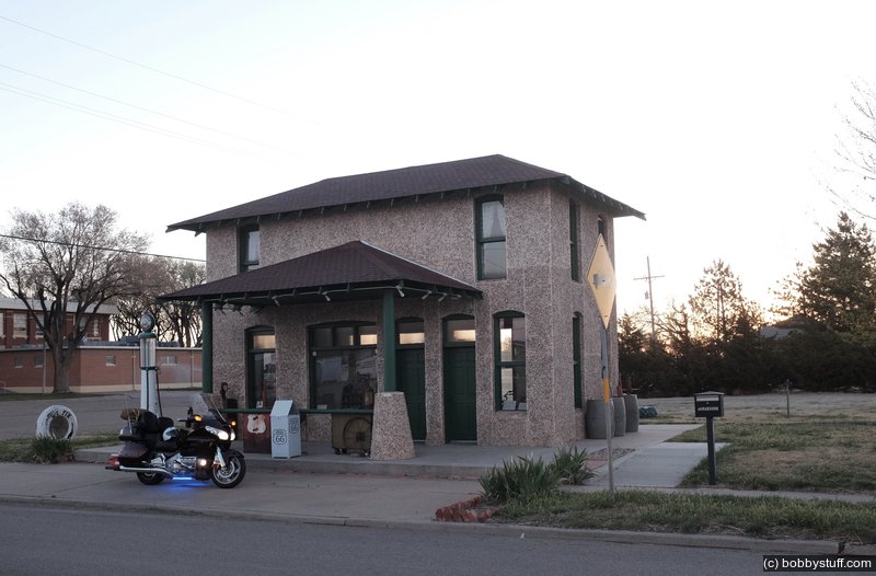
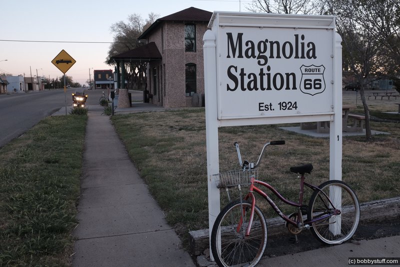
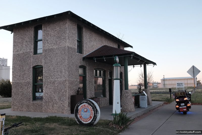
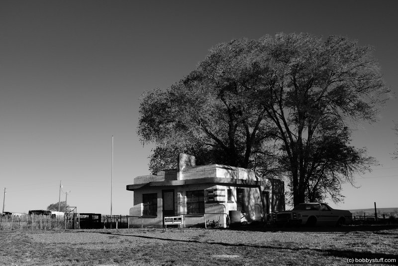
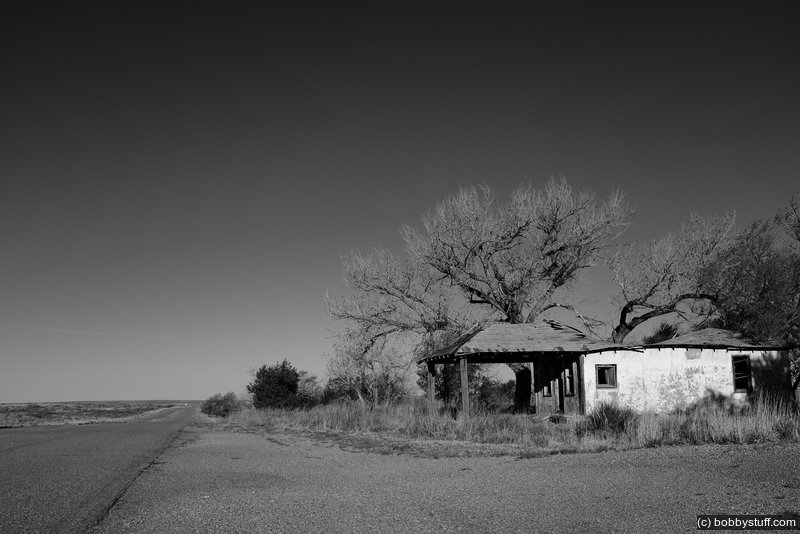
 Magnolia Gas Station, Vega TX
View a list of places like this or a map.theroute-66.com
The second service station to be built in Vega was the Magnolia Service Station, in 1924. It had two stories, and the operator lived on the upper floor. The ground floor hosted a barber shop.
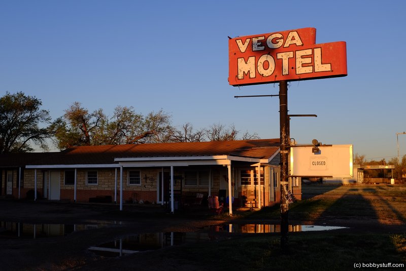
Vega Motel, Vega TX
View a list of places like this or a map.nps.gov
Ervin Pancoast constructed the Vega Motel (originally Vega Court) on Route 66 in 1947 at the dawn of an era of unparalleled prosperity in the United States and Texas, a time when leisure and travel became a booming industry. The motel had west and south wings, which contained 12 units. Aware of the importance of automobiles to travelers, Mr. Pancoast incorporated garages into his motel design, and pairs of garages alternated with pairs of motel units in each wing.
After operating the motel for over 30 years, the Pancoasts sold the motel in 1976. The current owners continue to run it and the motel has been in continuous operation since its construction. The Vega Motel was listed in the National Register of Historic Places in 2006.
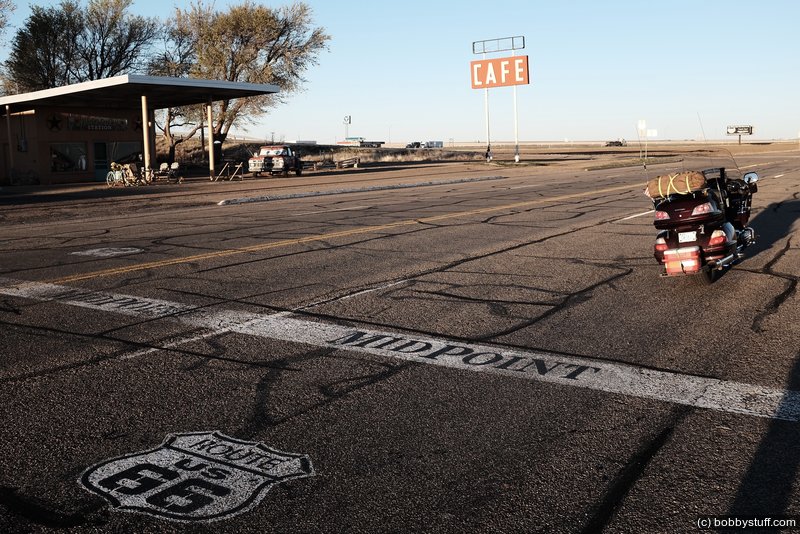
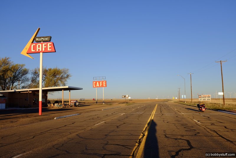
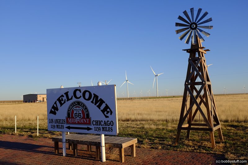
Route 66 Midpoint, Adrian TX
View a list of places like this or a map.theroute-66.com
Midpoint Cafe and Cars - Pixar was inspired by the Midpoint Cafe to create Flo's V8 Cafe in the animated film Cars (2006).
The characters Flo, Mia and Tia were based on Fran Houser and two of her restaurant's employees, the sisters Christina and Mary Lou Mendez.
The movie's credits acknowledges the cafe and Fran Houser.
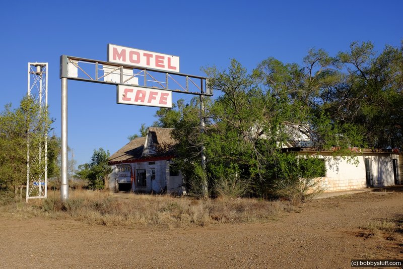
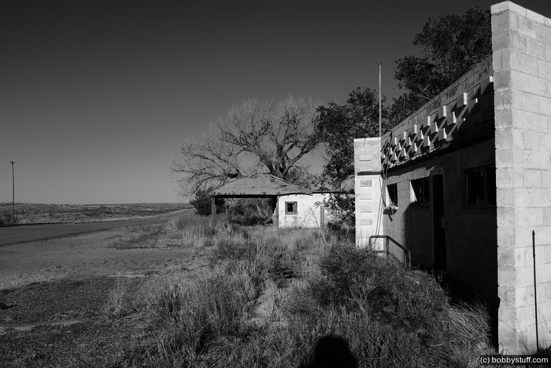
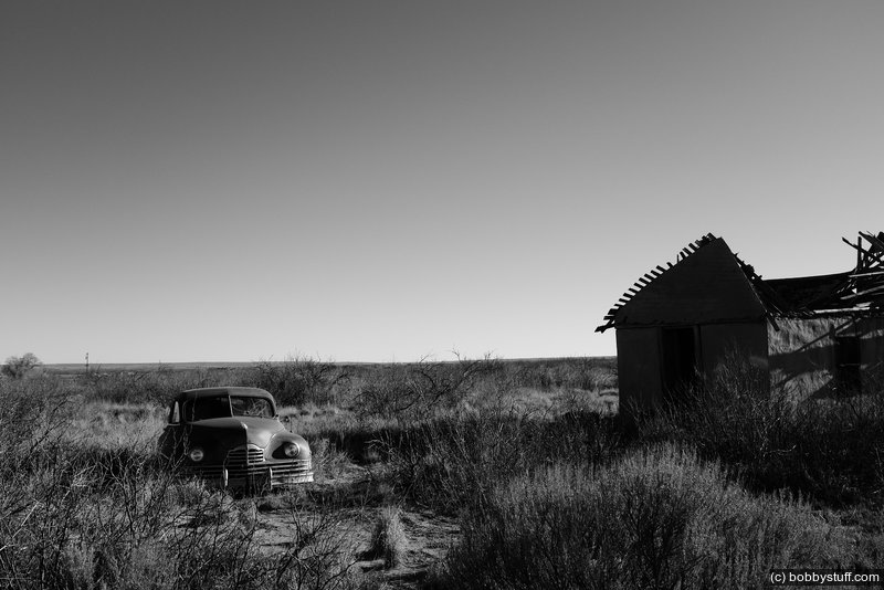
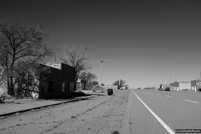
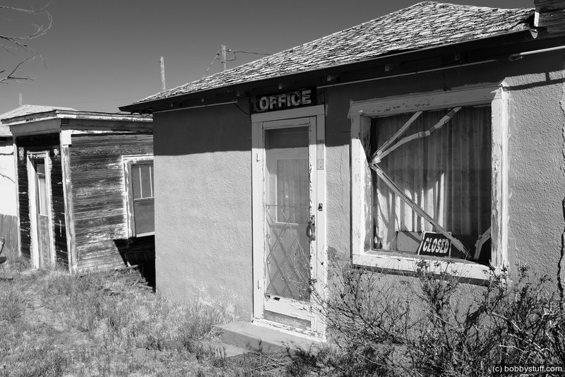
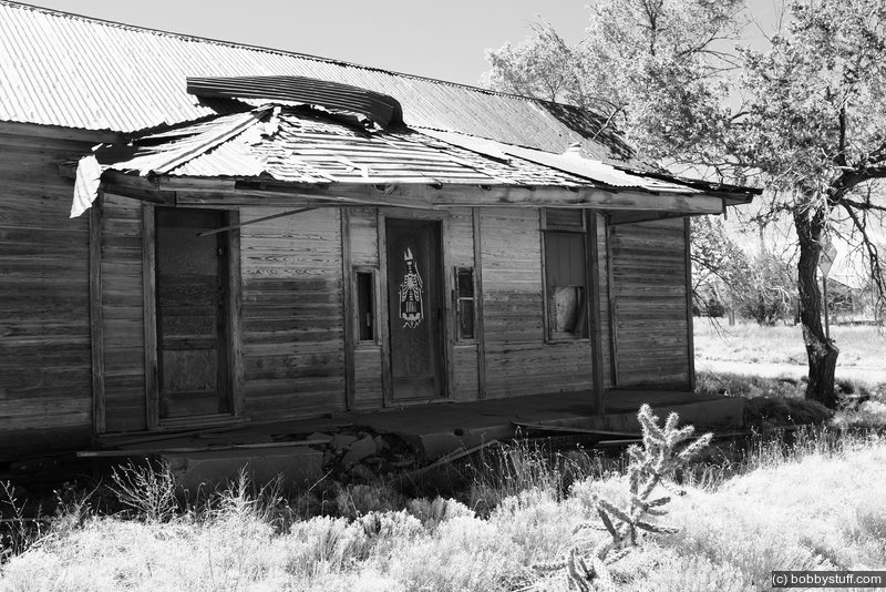
Glenrio Historic District TX
View a list of places like this or a map.nps.gov
During the 1940s and 1950s, Glenrio sat very much alone in the open scrub desert of the high plains straddling the Texas-New Mexico border. Amarillo was 73 miles to the east and Tucumcari 41 miles west. Travelers driving Route 66 across the desert could see a world of stars at night, with Glenrio providing some of the only light pollution around with its diners, bars, western-themed motels, a dance hall, and gas stations. Glenrio was a flash of neon in the desert, an overnight Mecca, and a spot of evening cool in the days before cars had air conditioning.
Glenrio's boom times ended in 1975 when Interstate 40 bypassed the town. It was listed in the National Register of Historic Places in 2007. Today, the Glenrio Historic District includes the old Route 66 roadbed and 17 abandoned buildings.
It's well worth the detour to get off Interstate 40 and cruise Route 66 through Glenrio. Crossing the State border in one of the country's best preserved mid-century ghost towns evokes some of the adventure motorists from decades ago felt when the traveled long stretches of two-lane blacktop through the American West.

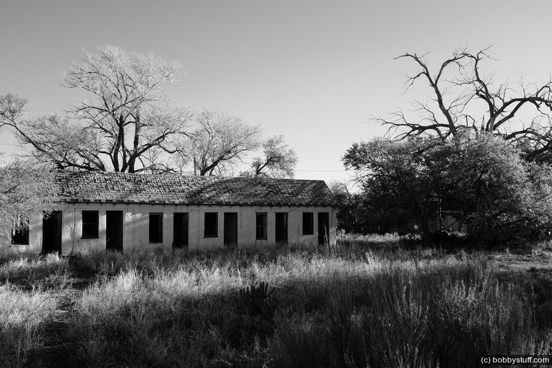
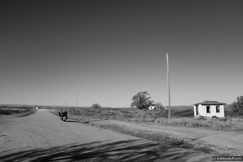
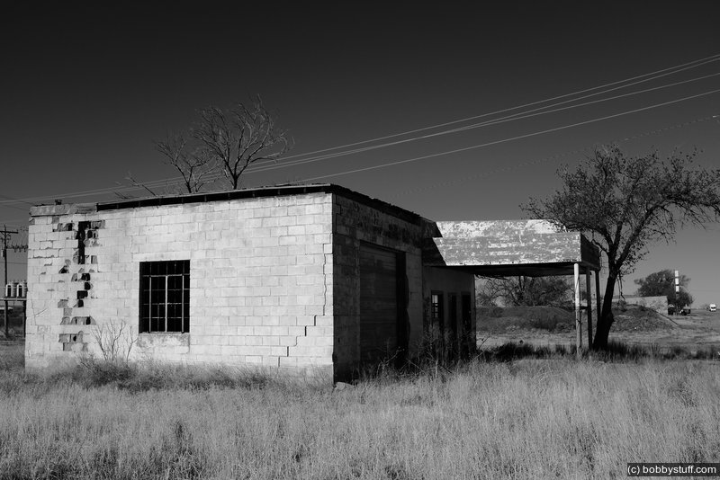
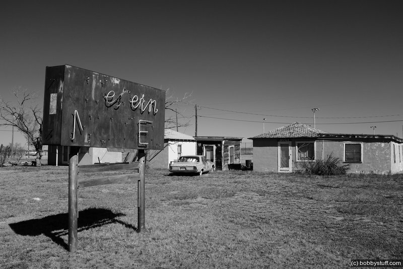
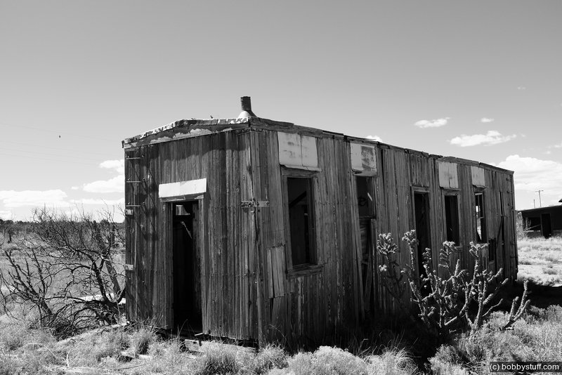
Endee TX
View a list of places like this or a map.theroadwanderer.net
Endee is another old shadow town along Route 66 five miles west of Glenrio. In 1946 Endee's population was 110 with a gas station, small garage, grocery and a handful of cabins.
It could be said that Endee was as wild a west town as could be found in the area. Originally the town was founded in 1882 and got its name from the old ND ranch. The post office was established in 1886. There was a time Endee was quite the place to be on a Saturday night. Some claim it was so rough back then that a trench was dug on Saturday to bury the gunfight losers on Sunday. No matter what once happened in Endee the empty town is now quiet, all but forgotten in the hustle and bustle of modern life. It is a great place to explore and reflect on another time long ago.
Russells Travel Center for Breakfast
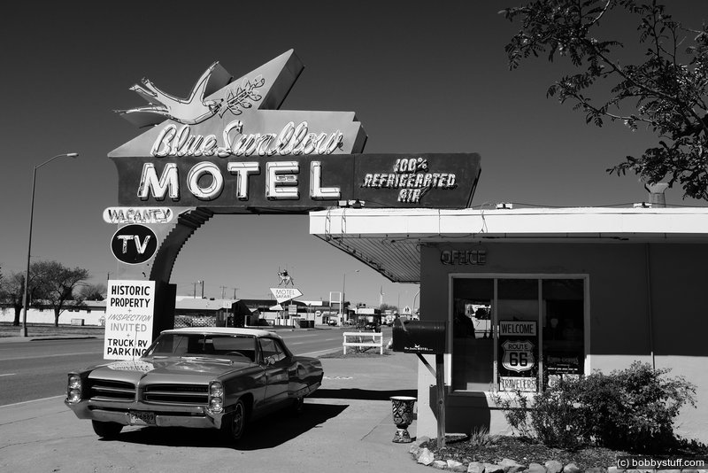
Blue Swallow Motel, Tucumcari NM
View a list of places like this or a map.nps.gov
Carpenter W.A. Huggins began construction on the Blue Swallow Motel prior to the outbreak of World War II, and Ted Jones, a prominent eastern New Mexico rancher, opened the motel in 1942.
Interstate 40 bypassed the town in the late 1960's and business drastically changed but the hotel is still open. Listed in the National Register of Historic Places in 1993, the motel continues to operate as a popular overnight destination.
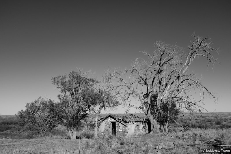
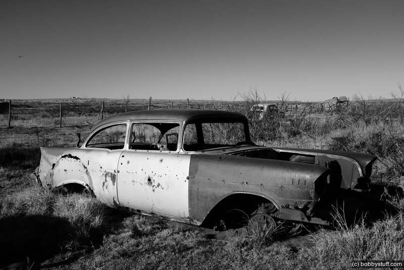
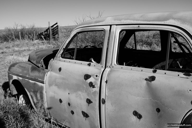
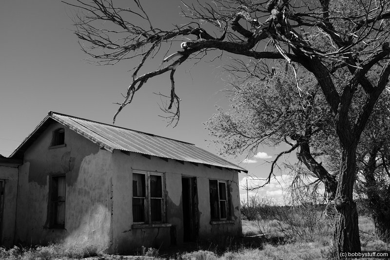
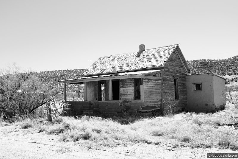
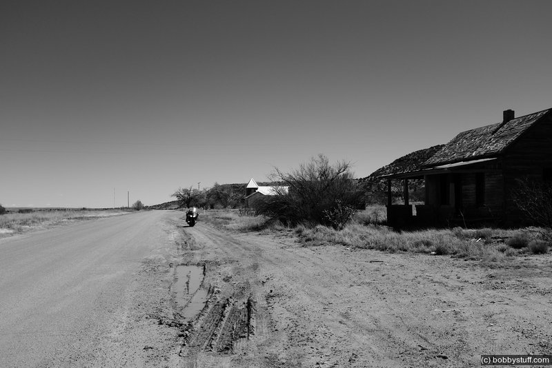
Ghost Town of Cuervo NM
View a list of places like this or a map.legendsofamerica.com
Between 1901 and 1903, the Southern Pacific pushed through Cuervo and a town was born. Named after nearby Cuervo Hill, Cuervo is Spanish for "crow," which are abundant in the area.
Around 1910, the land surrounding Cuervo was opened to cattle ranching which created a land boom and the town began to grow. When Route 66 came through, the new highway created the additional trade of gas stations and hotels.
At its peak, Cuervo boasted two schools, two churches, two hotels and two doctors, along with numerous other businesses. In the 1930's, Cuervo reportedly had a population of almost 300. By the mid 1940's; however, it had already fallen to less than 150.
When I-40 came along, parts of Cuervo were literally buried as the superhighway cut a swath through the residential section of the town. Dependent upon those travelers of the Mother Road, the town immediately began to die. Today the area still supports around 50 people, who primarily live on the south side of I-40 and on outlying ranches.
 Elevation Changes During the Day
The day started at 3,776 feet and ended at 6,225 feet. The highest altitude was 7,042 feet and the lowest altitude was 3,695 feet.