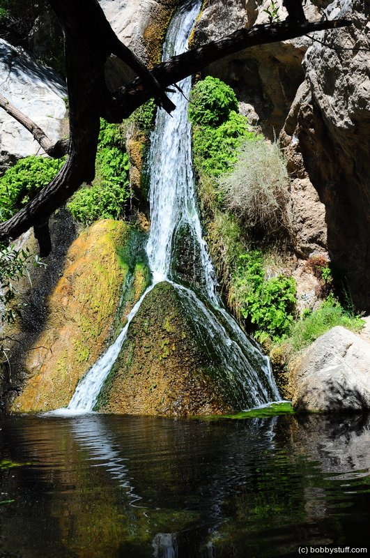
There is a Waterfall in Death Valley Near Panamint Springs
Near Panamint Springs, Death Valley. We drove up a very rough road and hiked to a water fall.
Tucker Riley, Laurie
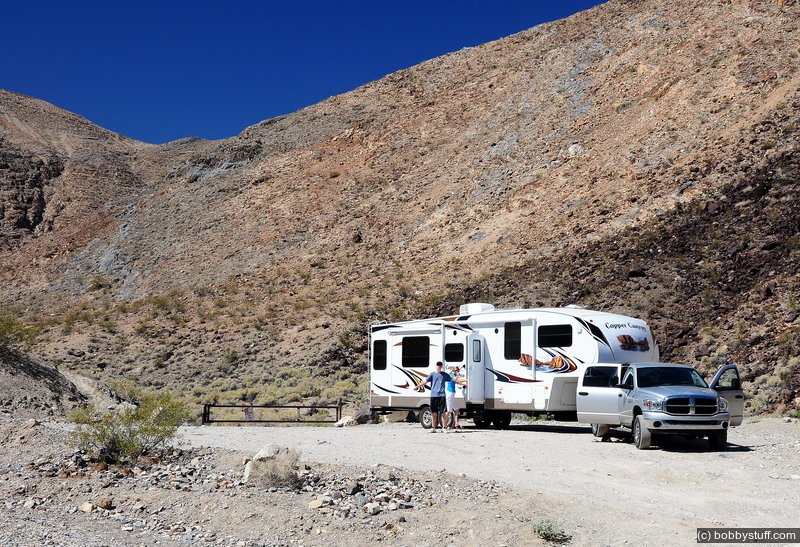
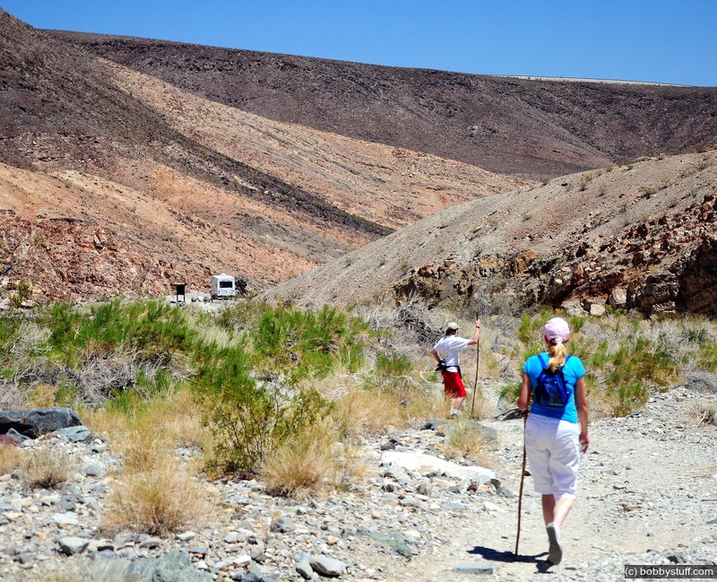
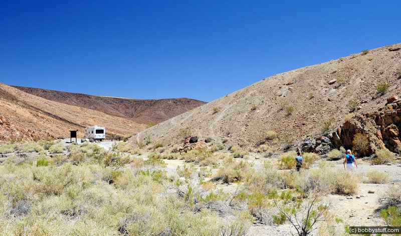
I have read there is a waterfall in Death Valley and since this is at least my 4th visit I thought I should find it. We took the dirt road just beyond the small community of Panamint Springs. Actually calling it a road is a lie. It was very rough with rocks and holes and at the end I actually thought I might have to backup the 2.4 miles to the paved road. It took all of us to watch the camper to make sure I did not drag the belly or cut the truck into the camper as we maneuvered around rocks and holes. But we got it turned around a pointed down the valley.
 Google Map Track Log
On the crawl up the road Bradley was looking out his window and suddenly shouted "There is a camera!" I thought he meant a disposable camera, but he said no, that it was a Nikon. I stopped and he ran back to get it. Turns out it is a Nikon Coolpix point and shoot. It was operational and had over 300 photos on it. The last photo was of the road we were on and it was dated a week ago. So we figured it had been laying in the road all that time. There is nothing in any of the photos to identify the owners but we plan to call the park service and determine if there is a lost and found department.
EDIT July 2013
Finding the owner of the camera turned into a neat adventure. Read
We Found a Camera in Death Valley, CA
for all the details.
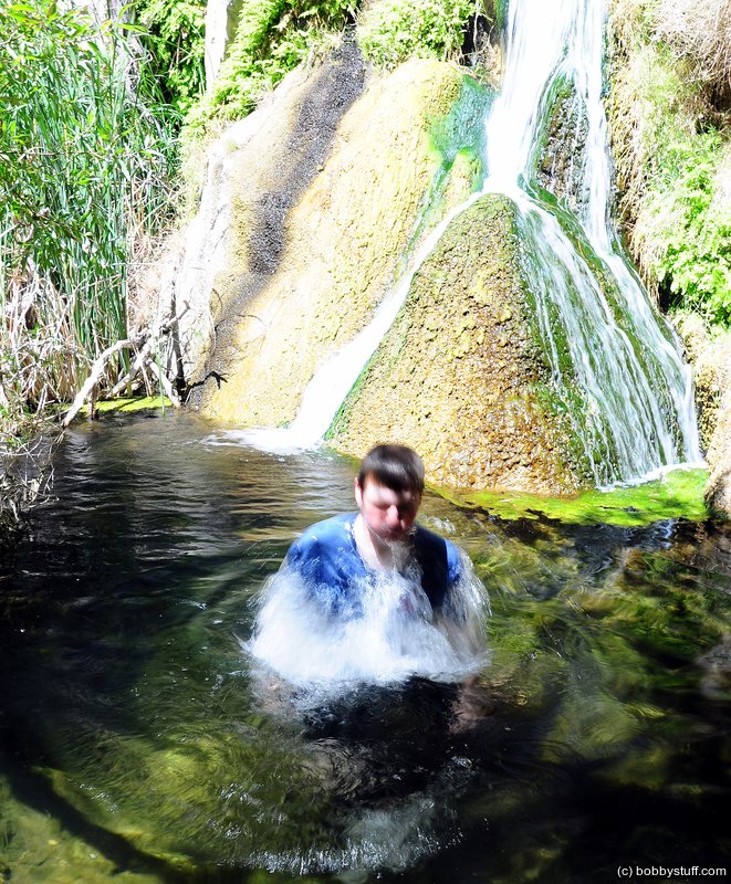
We brushed on sunscreen like basting a turkey, loaded up with water bottles and hiked up the canyon. The trail got rough so we sent scout Tucker ahead to find the waterfall and let us know if we needed to continue. After about 5 minutes he yelled that he had found it and we should continue.
I am glad we did. The community of Panamint Springs has a 2-3 inch pipe from the falls to supply them with water. The area was shaded, cool and very pleasant. And of course Tucker had to take a plunge. It was a great hike.
Near Panamint Springs, Death Valley. We drove up a very rough road and hiked to a water fall.
Near Panamint Springs, Death Valley. We drove up a very rough road and hiked to a water fall.
Near Panamint Springs, Death Valley. We drove up a very rough road and hiked to a water fall.
Tucker Riley
Near Panamint Springs, Death Valley. We drove up a very rough road and hiked to a water fall.
Near Panamint Springs, Death Valley. We drove up a very rough road and hiked to a water fall.
Bradley Taylor, Laurie
Near Panamint Springs, Death Valley. We drove up a very rough road and hiked to a water fall.
Tucker Riley, Laurie