
Log Hollow Falls, North Carolina
We were Geocaching with my brother and his wife when we found these waterfalls. These photos are not very good because at the time I was more interested in Geocaching than photographing waterfalls and I just had a point and shoot camera.The trail is an old logging road and easy to walk. It takes about 10 minutes to get to the falls. There is another smaller waterfall further down the trail (click on the camera icon in the map below). I can't find a name for them.
Jul 3, 2005 Sun 12:18:48 PM EDT
Altitude: 3244 ft Camera: Fuji FinePix E550Display on Google Map
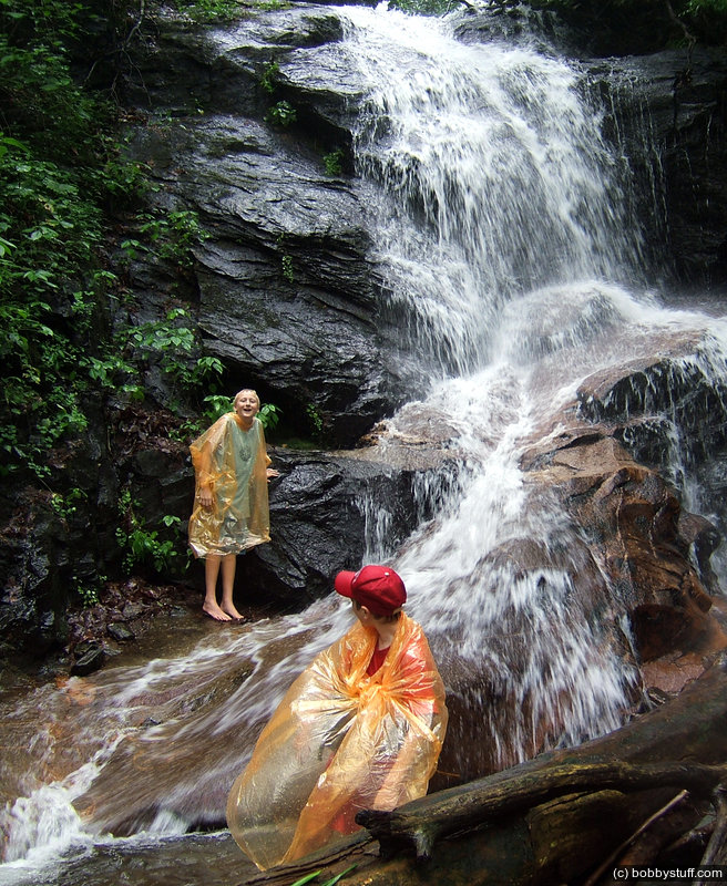
Log Hollow Falls. Doing some geocaching in the rain.
Bradley Taylor, Tucker Riley
Log Hollow Falls. Doing some geocaching in the rain.
Bradley Taylor, Tucker Riley
Jul 3, 2005 Sun 12:19:16 PM EDT
Altitude: 3246 ft Camera: Fuji FinePix E550Display on Google Map
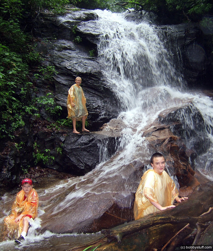
Log Hollow Falls. Doing some geocaching in the rain.
Tucker Riley, Bradley Taylor, Cory
Log Hollow Falls. Doing some geocaching in the rain.
Tucker Riley, Bradley Taylor, Cory
Jul 3, 2005 Sun 12:21:49 PM EDT
Altitude: 3299 ft Camera: Fuji FinePix E550Display on Google Map
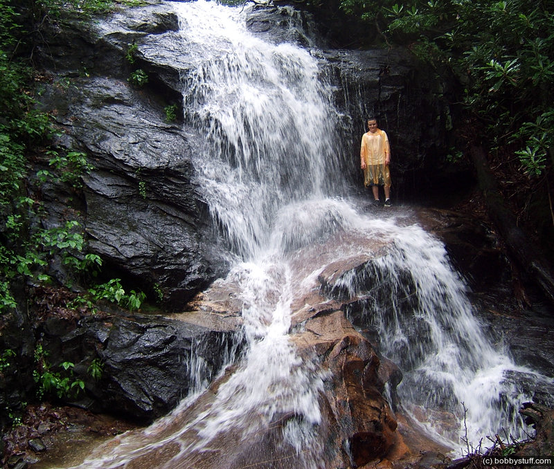
Log Hollow Falls. Doing some geocaching in the rain.
Cory
Log Hollow Falls. Doing some geocaching in the rain.
Cory
 Google Map Track Log
Pick a trip from the first drop down list below.
| Mingo Falls, North Carolina |
Topics
General
Travel
TagsConfederate Statues (32),Motorcycle (97),National Parks (9),Odd (1),Route 66 (33),Unemployment (6),Zombies (1)