Days 14, 15 - Carson City to Austin NV to Panguitch UT
Day 14, April 20
| Miles for the Day: | 184 |
| Total Trip Miles: | 3901 |
| Start Point: | Carson City, NV |
| Sun Rise: | 6:15 AM PDT |
| Start Altitude: | 4665 feet |
| Start Weather: | At 6:00 AM PDT, the temperature was 21.6 degrees with 73 percent humidity. The conditions were partially cloudy. |
| End Point: | Eureka, NV |
| Sun Set: | 7:31 PM PDT |
| End Altitude: | 5769 feet |
| End Weather: | At 6:00 PM PDT, the temperature was 53.3 degrees with 25 percent humidity. The conditions were clear. |
Day 15, April 21
| Miles for the Day: | 401 |
| Total Trip Miles: | 4302 |
| Start Point: | Eureka, NV |
| Sun Rise: | 6:03 AM PDT |
| Start Altitude: | 5879 feet |
| Start Weather: | At 6:00 AM PDT, the temperature was 39.3 degrees with 57 percent humidity. The conditions were clear. |
| End Point: | Panguitch, UT |
| Sun Set: | 8:11 PM MDT |
| End Altitude: | 6600 feet |
| End Weather: | At 6:00 PM MDT, the temperature was 55.1 degrees with 37 percent humidity. The conditions were overcast with a wind speed of 12.1 and wind gusts of 37.8. |
Table of Contents
 Google Map Track Log
Pick a trip from the first drop down list below.
 YouTube Video
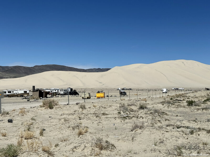
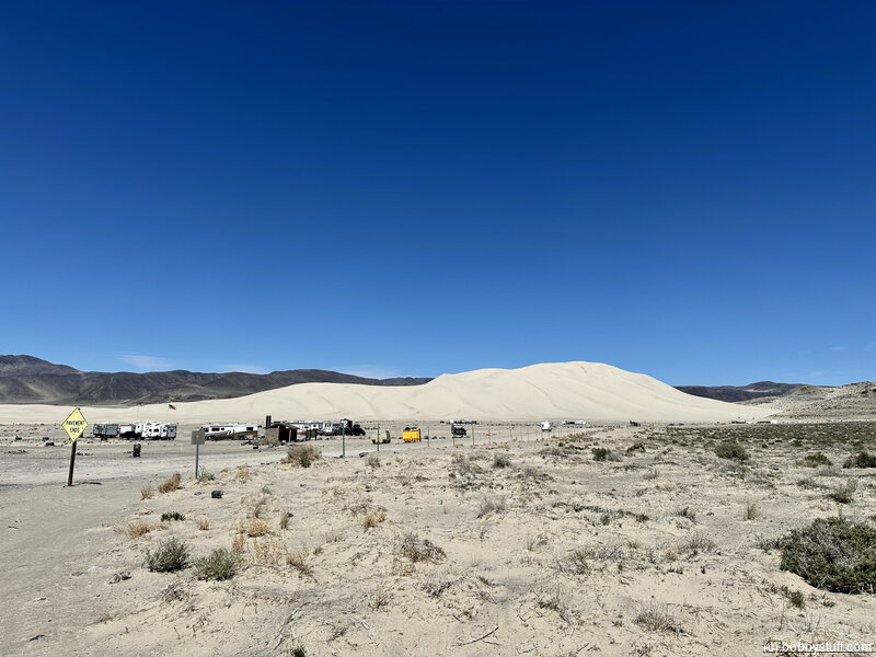
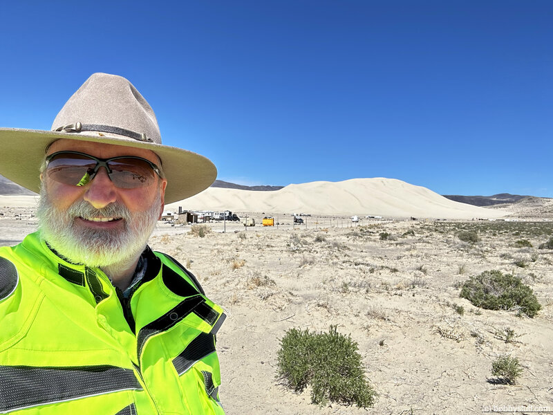
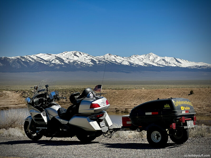
Sand Mountain Recreational Area
Apr 20, 2023 Thu 1:08:03 PM PDT
Altitude: 4003 ft Camera: iPhone 14 Pro MaxDisplay on Google Map
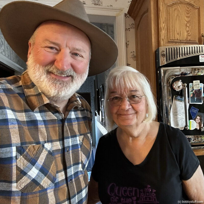
Bobby
Bobby
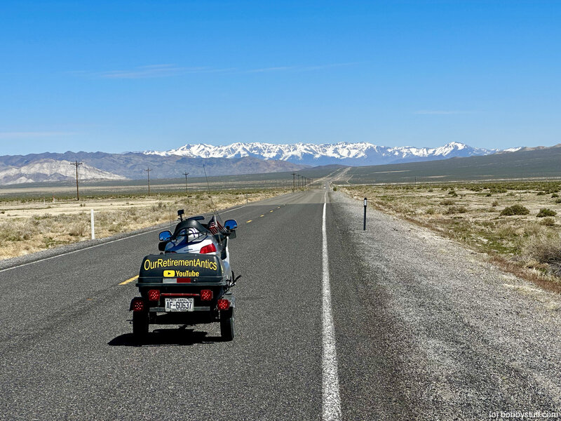
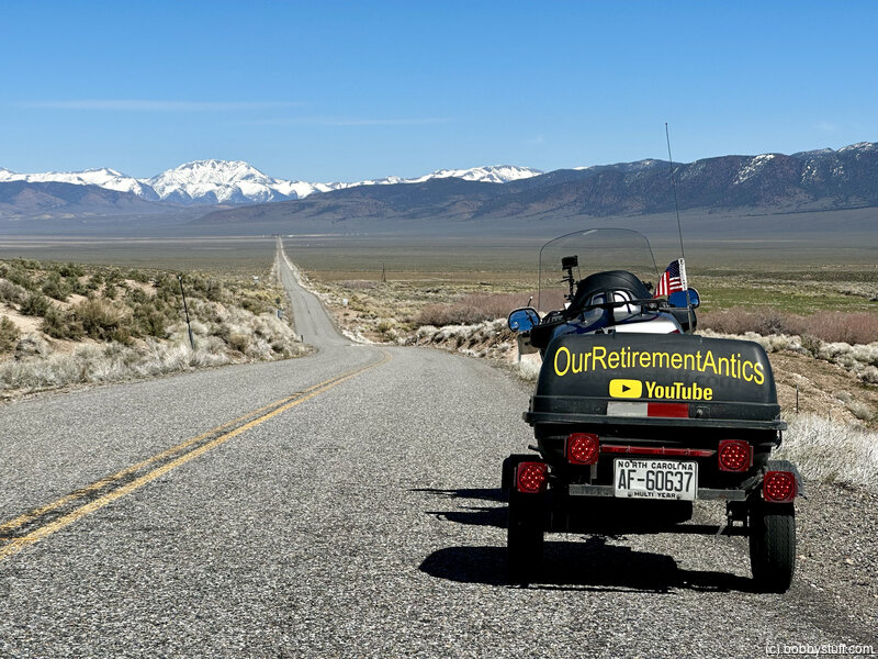
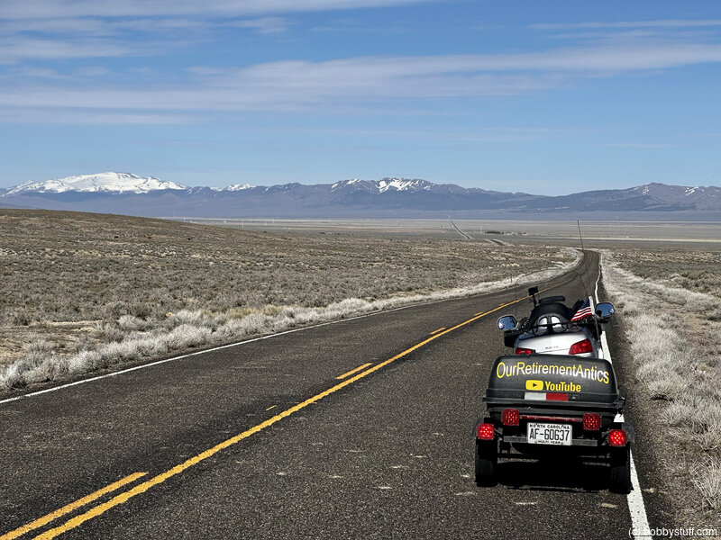
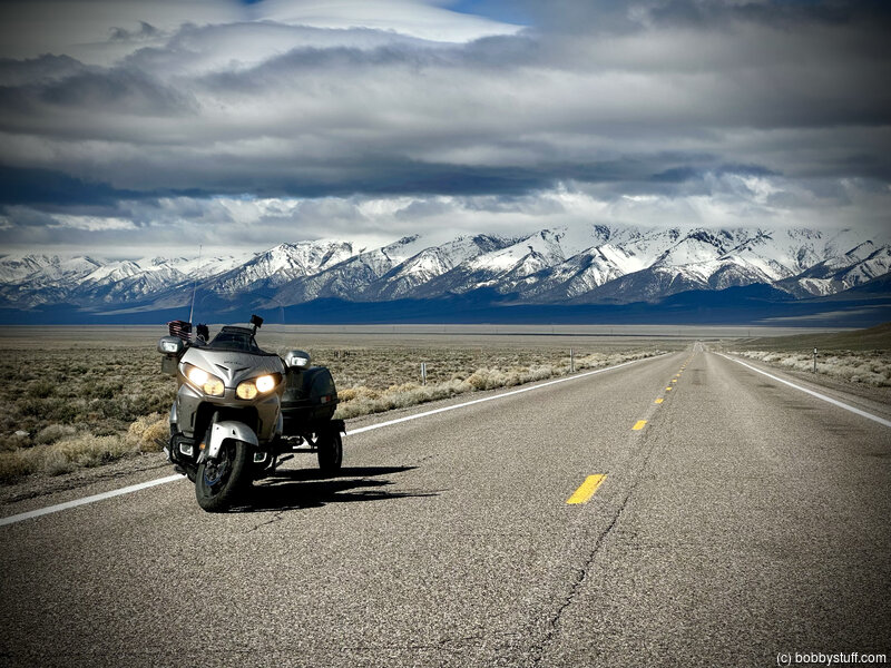
US 50, Loneliest Road in America
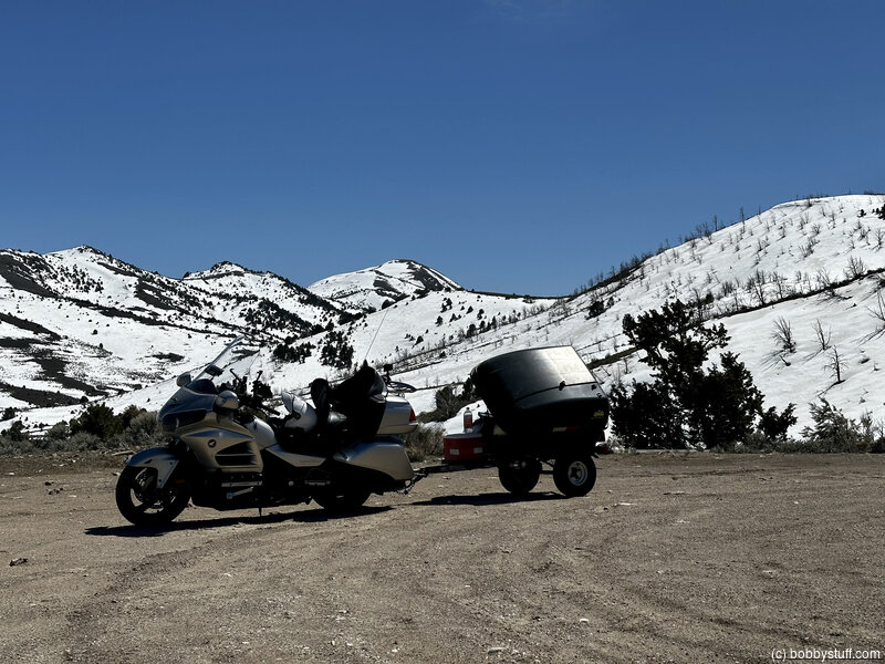
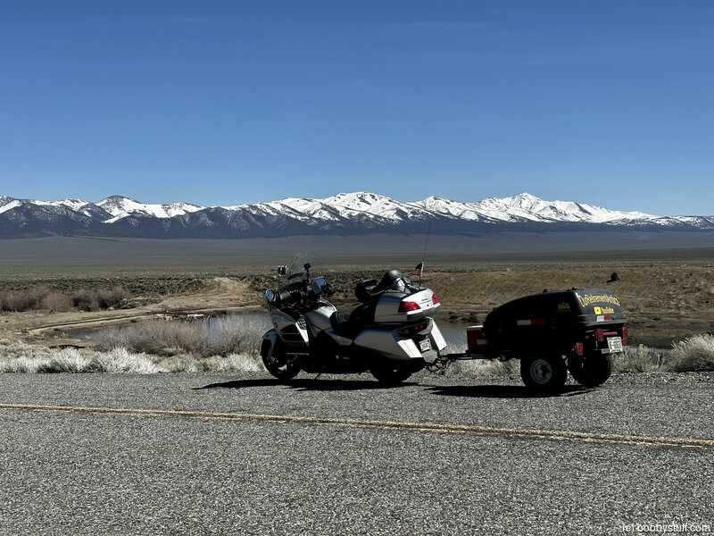
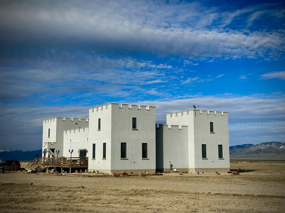
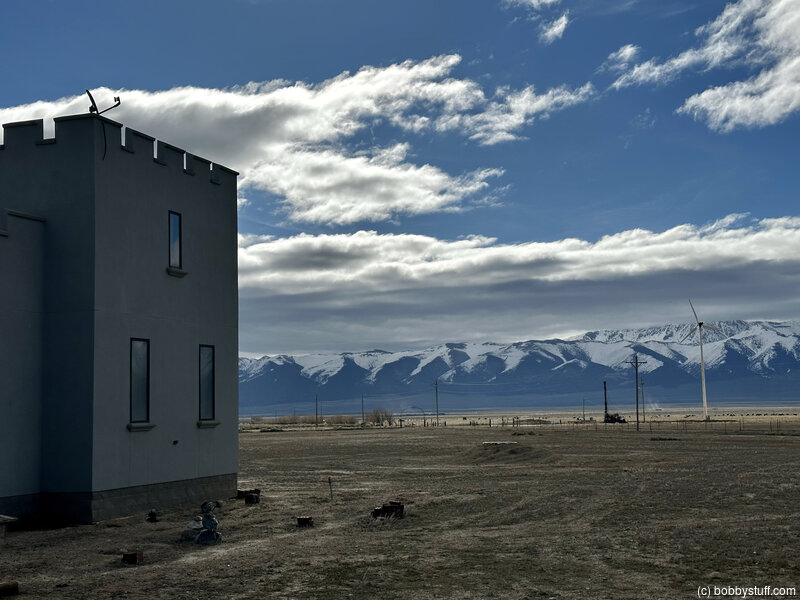
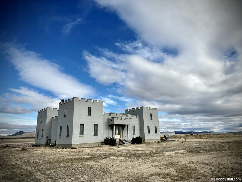
Paradise Ranch Castle
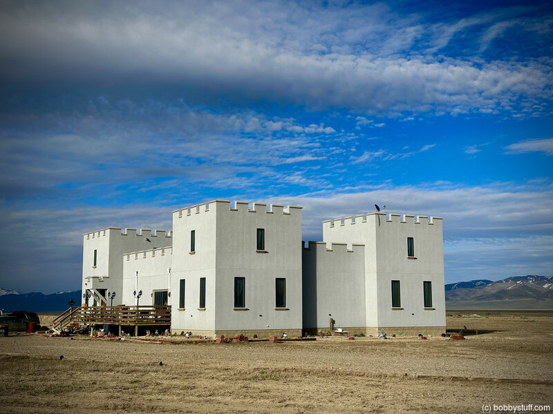

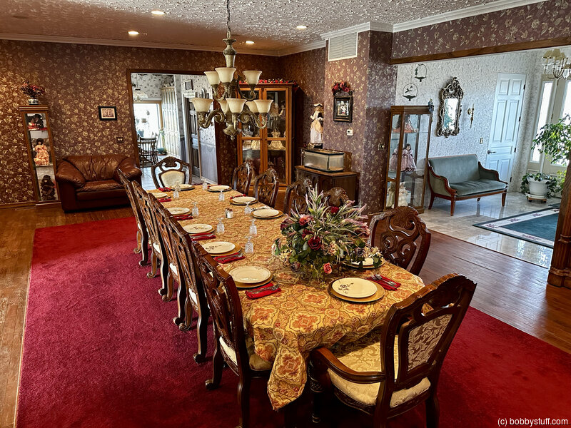


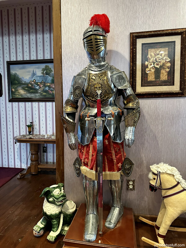
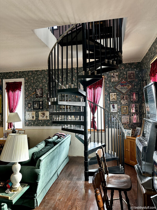
Apr 21, 2023 Fri 7:21:30 AM PDT
Altitude: 5814 ft Camera: iPhone 14 Pro MaxDisplay on Google Map
Bobby
Bobby
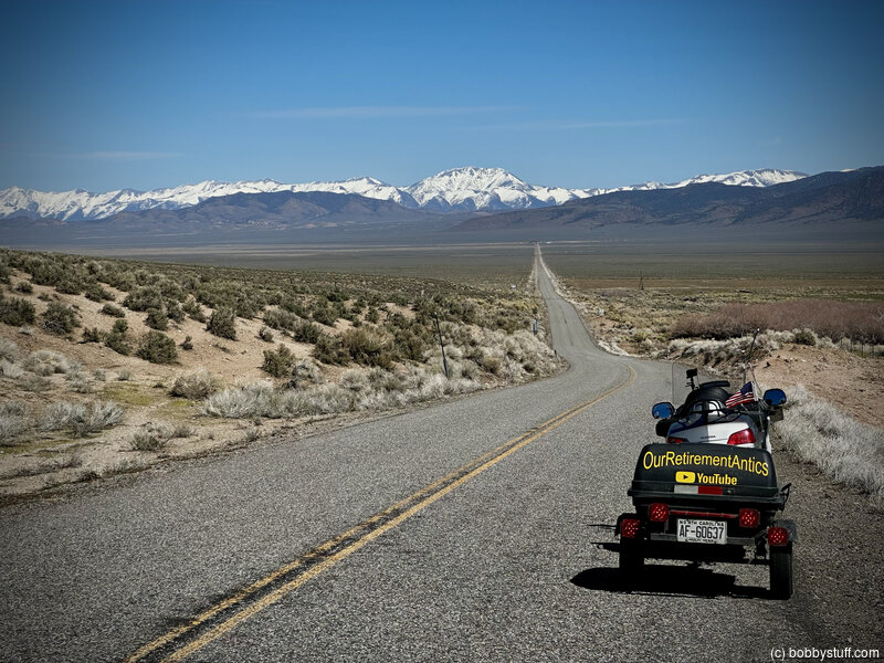
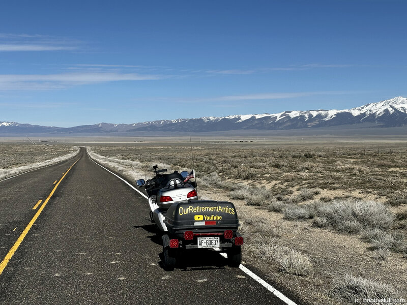
More US 50, Loneliest Road in America
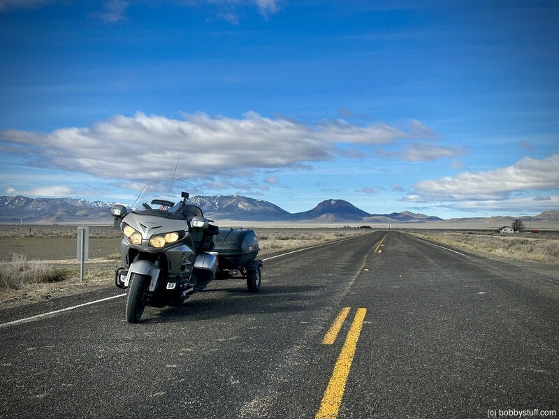
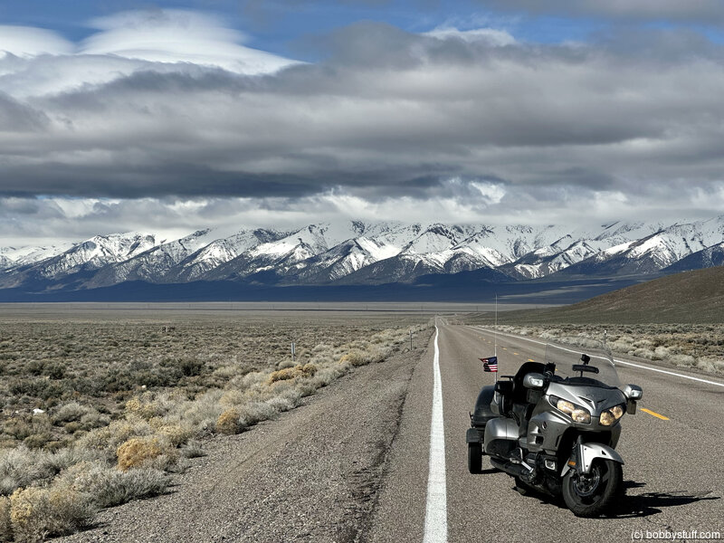
Apr 21, 2023 Fri 8:28:59 PM MDT
Altitude: 6617 ft Camera: iPhone 14 Pro MaxDisplay on Google Map
Bobby
Bobby
 Elevation Changes During the Day
The day started at 4,665 feet and ended at 5,769 feet. The highest altitude was 7,414 feet and the lowest altitude was 3,891 feet.
| Day 13 - Donner Memorial State Park |
Topics
General
Travel
TagsConfederate Statues (32),Motorcycle (97),National Parks (9),Odd (1),Route 66 (33),Unemployment (6),Zombies (1)