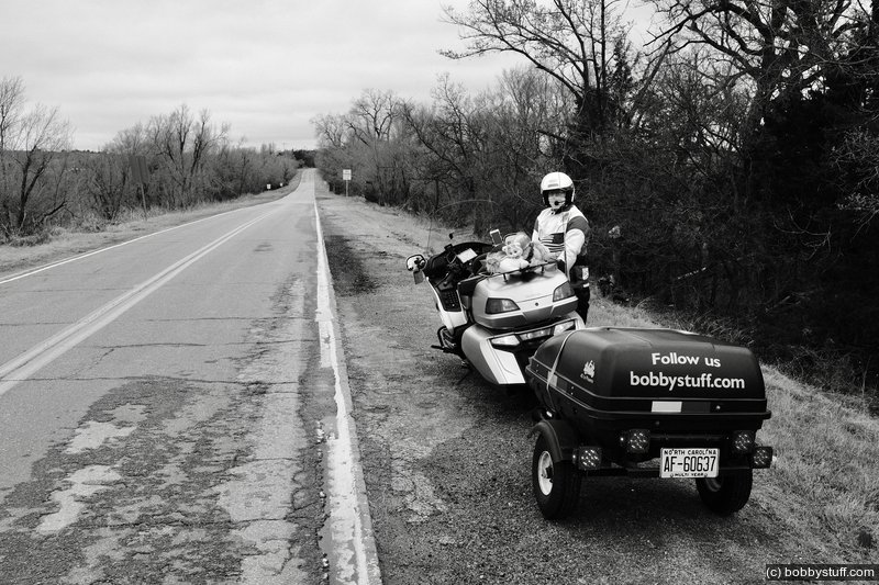
Day 6, El Reno OK to Amarillo TX
| Miles: | 255 |
| Start Point: | El Reno, OK |
| Start Weather: | At 6:00 AM CDT the temperature was 40.5 ° with 86% humidity. The conditions were breezy and overcast with a wind speed of 23.2 MPH and wind gusts of 34.1 MPH. |
| End Point: | Amarillo, TX |
| End Weather: | At 6:00 PM CDT the temperature was 44.2 ° with 46% humidity. The conditions were overcast with a wind speed of 17.9 MPH and wind gusts of 18.1 MPH. |
| Sun Rise: | 7:22 AM CDT |
| Sun Set: | 8:08 PM CDT |
Table of Contents

Previous 40 to Phoenix Rides
This is my 3rd 40 to Phoenix ride. I have visited just about all the Route 66 sites I want to see and have written about them in previous years. To read about this day and see photos from previous years, please see Day 6, 2017 and Day 6, 2018.
 Video
Video
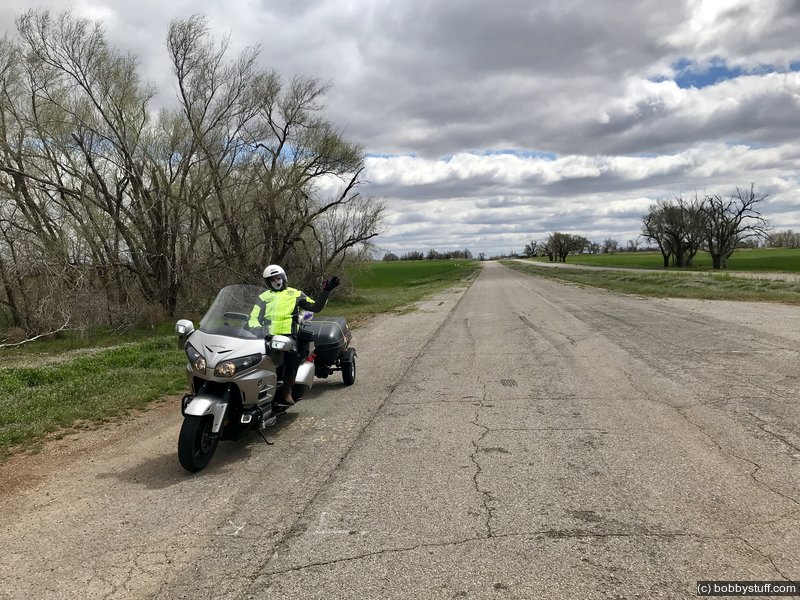
Laurie
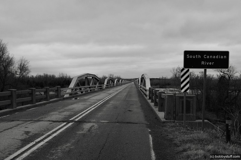
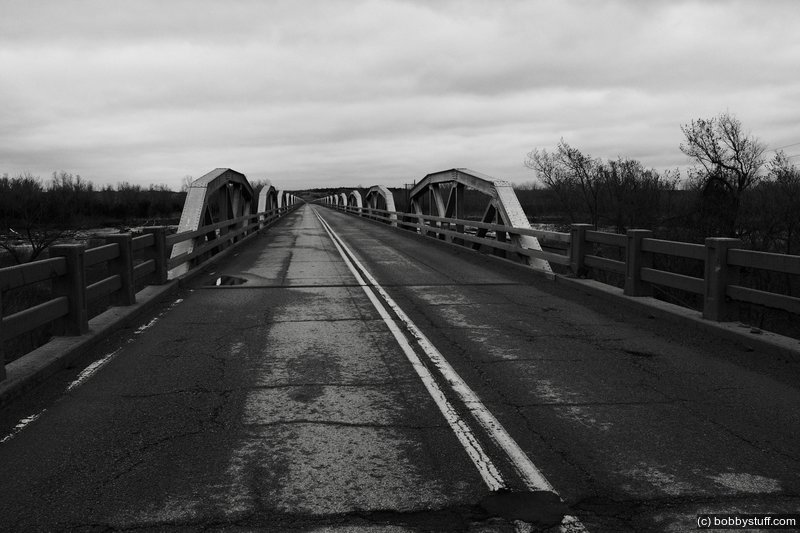
 Thirty-Eight Span Camelback Bridge, Geary OK
View a list of places like this or a map.This is an original Route 66 bridge with the original Route 66 roadbed before and after the bridge.
theroute-66.com
It is the longest bridge on Route 66, measuring 3,944.33 feet or about 3/4 miles (1,203 m). It was built in 1933 at a cost of $346,000 and was built by the Kansas City Bridge Co. It consists of 38 pony truss sections, each 100 feet long. "Pony" refers to how the traffic is located in relation to the structure. In a pony bridge traffic flows between the parallel trusses which are not braced at the top (the trusses are the steel structures that support the bridge on either side of the roadway).
The trusses are "Camelback" design, a name which is due to the shape of the truss which curves with a slight arch-shape, strong and light. It was finally opened to traffic in 1934 due to delays in the Bridgeport section of US 66.
Its official name is "William H. Murray Bridge", but locals know it as the "Pony" bridge.
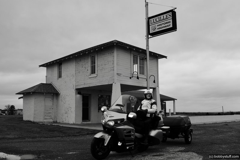
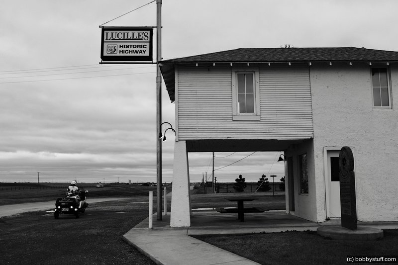
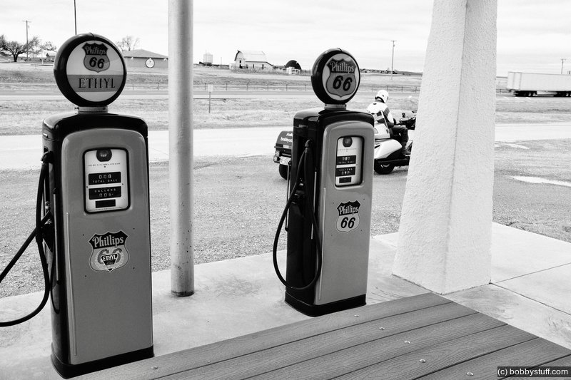
Lucille's, Hydro OK
View a list of places like this or a map.nps.gov
theroute66.com
The stretch of Route 66 from the Camelback bridge to Hydro is listed on the National Register of Historic Places. It is one of the longest intact segments of Route 66 in western Oklahoma and is 19.5 miles long. It was paved in Portland Concrete in 1931, 33 and 34. Some patches of asphalt have resurfaced it west of the Canadian River, but the rest is unaltered. It has the original integral curbs and drains to help discharge rain water.
It remained operational until 1962 when I-40 replaced it.
This service station is officially named the Provine Service Station but is commonly known as Lucille's Place. This station was built in 1929 and other stations like it were springing up across the country. This style of rural station was convenient for the traveler to get gasoline, pay the attendant, and be on his way. Like other rural, mom and pop-built stations of the time, this one was built with the owner's living quarters located on the second story.
In 1941, the Hamons family took over its operation. Lucille Hamons ran the business and lived there for nearly 60 years. She quickly became one of the highway's legendary characters. Her self-reliance and generous assistance to motorists earned her the nickname "Mother of the Mother Road."
In 1971, the completed section of Interstate 40 a few miles to the south cut the station off from direct access to the new highway, but Lucille found a way to survive. She kept the station open until the day she died, August 18, 2000.
Lucilles Restaurant
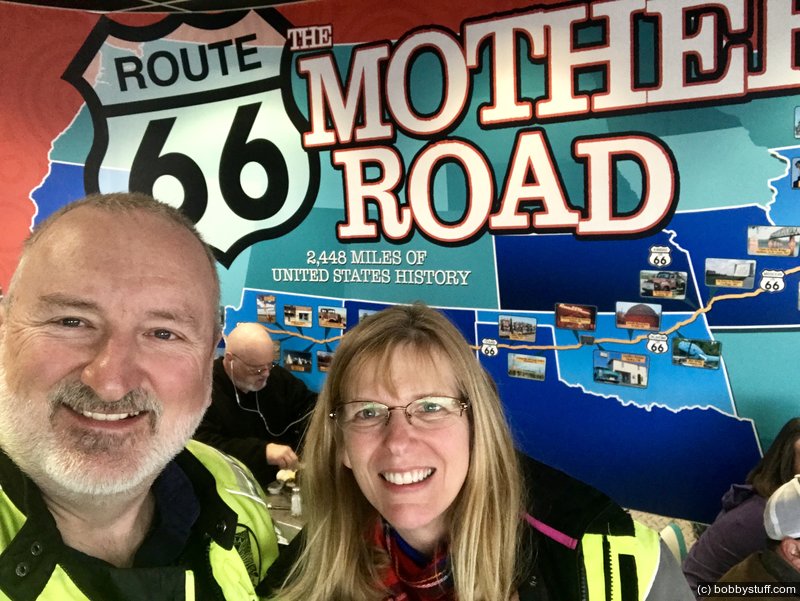
Bobby, Laurie
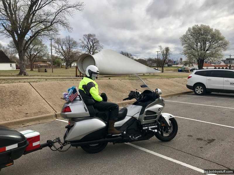
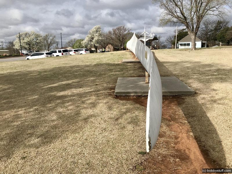
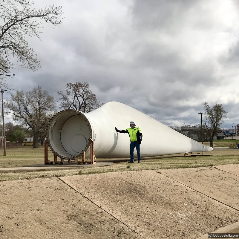
Wind Energy Park Weatherford, OK
I've always wanted to stop at this park so today we did.
Laurie
Laurie
Laurie
Laurie
Bobby, Laurie
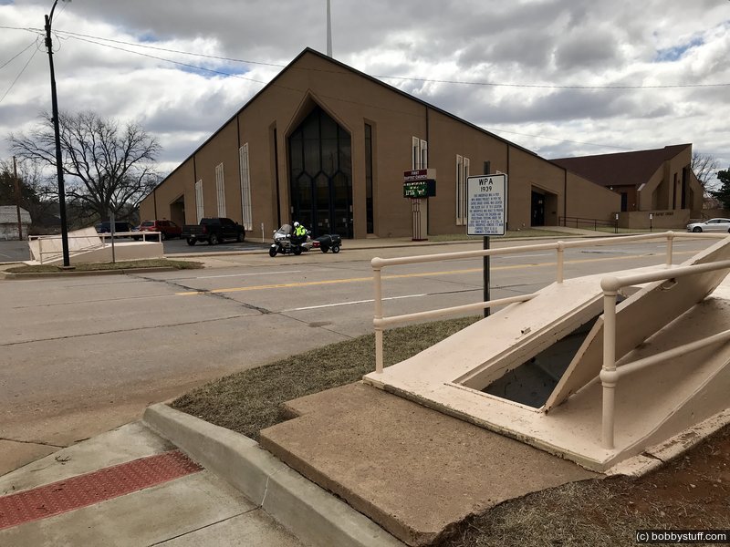
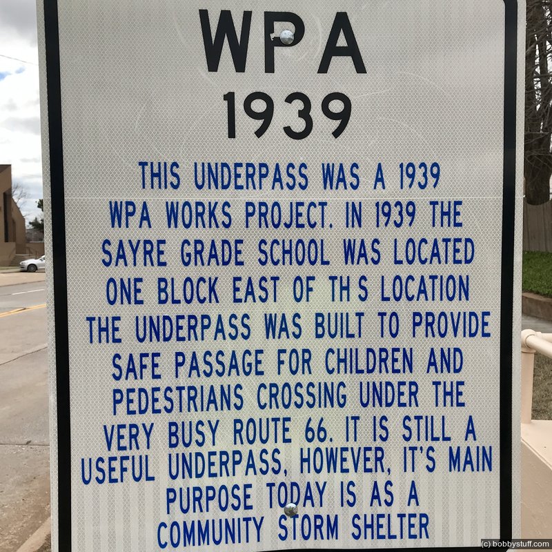
Beckham County Courthouse, Sayre OK
View a list of places like this or a map.nps.gov
Built in 1911, the Beckham County Courthouse is one of the few courthouses in Oklahoma topped by a large dome. One of the tallest buildings in Sayre, the courthouse has been the center of civic and legal activity for nearly a century, and remains a landmark in this community of approximately 4,000 people.
The courthouse stood on Sayre's main square for less than 20 years before the routing of Route 66 through the town in 1928. That was when Sayre changed. Within a couple of years, the town tied its fate to feeding and fueling the steady stream of people exploring the country in automobiles on the east-west Mother Road. In the 1930s and 1940s, the town built and maintained a public library, a hospital, a forty-acre city park, a golf course and swimming pool, baseball and softball fields, a racetrack, and rodeo grounds.
During the 1930s and 1940s, Sayre felt and looked like the beginning of the real West to travelers from Chicago to Los Angeles. The town's website still boasts of being the place where the spirit of the West is still alive. Working ranches are common in this part of Oklahoma. You might hear somebody's spurs rattle on the courthouse square and not think much about it.
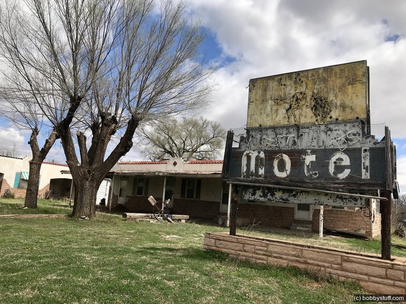
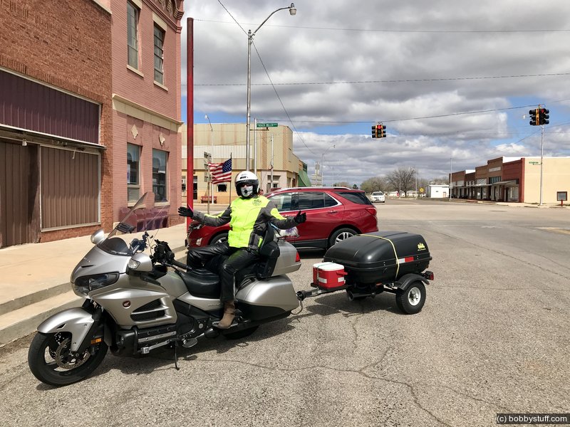
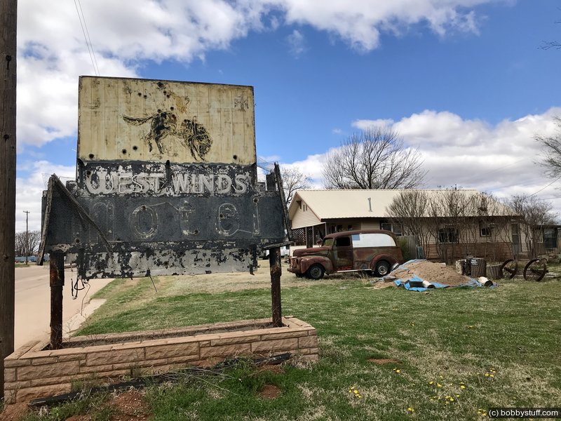
Erick OK
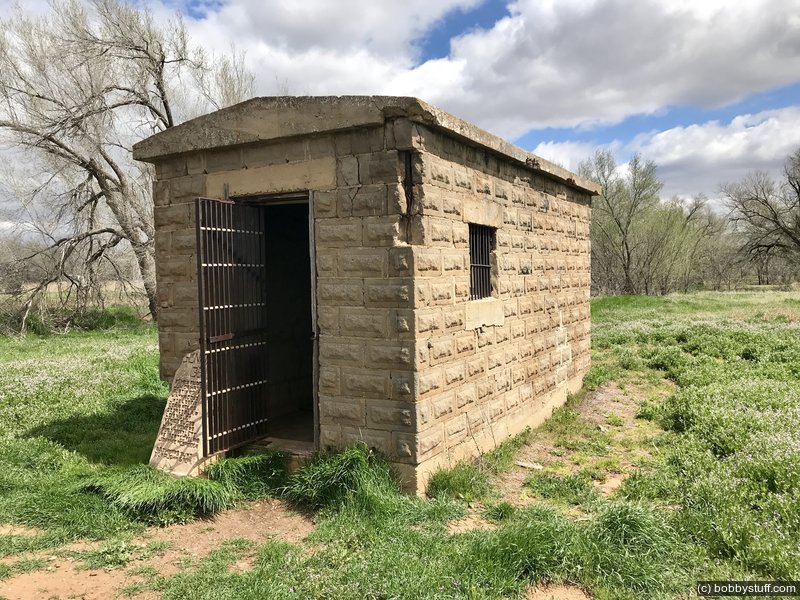
View a list of places like this or a map.Erick has an abandoned motel I wanted to check out. I was snapping a few photos when a pickup truck crossed the road and stopped, blocking a west bound lane of Route 66. Which was not much of a problem in Erick. He asked where I was from and I told him the Raleigh NC area. He told me to not miss the Texola Territorial Jail a few miles down the road and gave me directions for getting there.
We shook hands and introduced ourselves. He was Bobby Kemp. We chatted a little more and he mentioned that his bike was in the garage. Now, looking at Bobby I had no doubt what brand of motorcycle he rode, but I had to ask anyway. He replied, "A Harley".
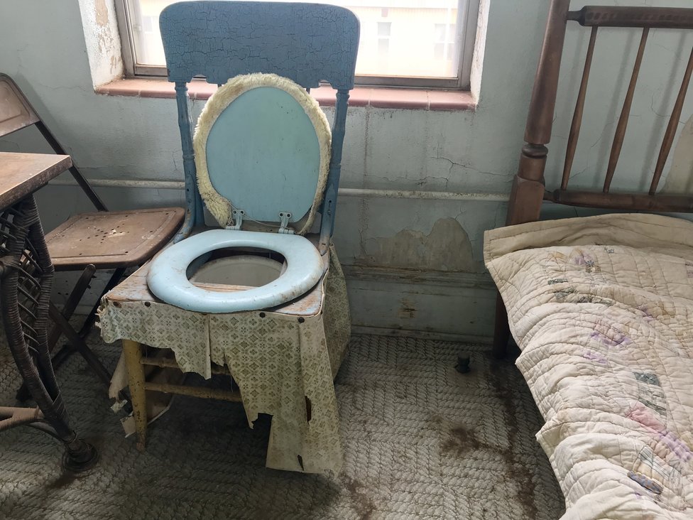
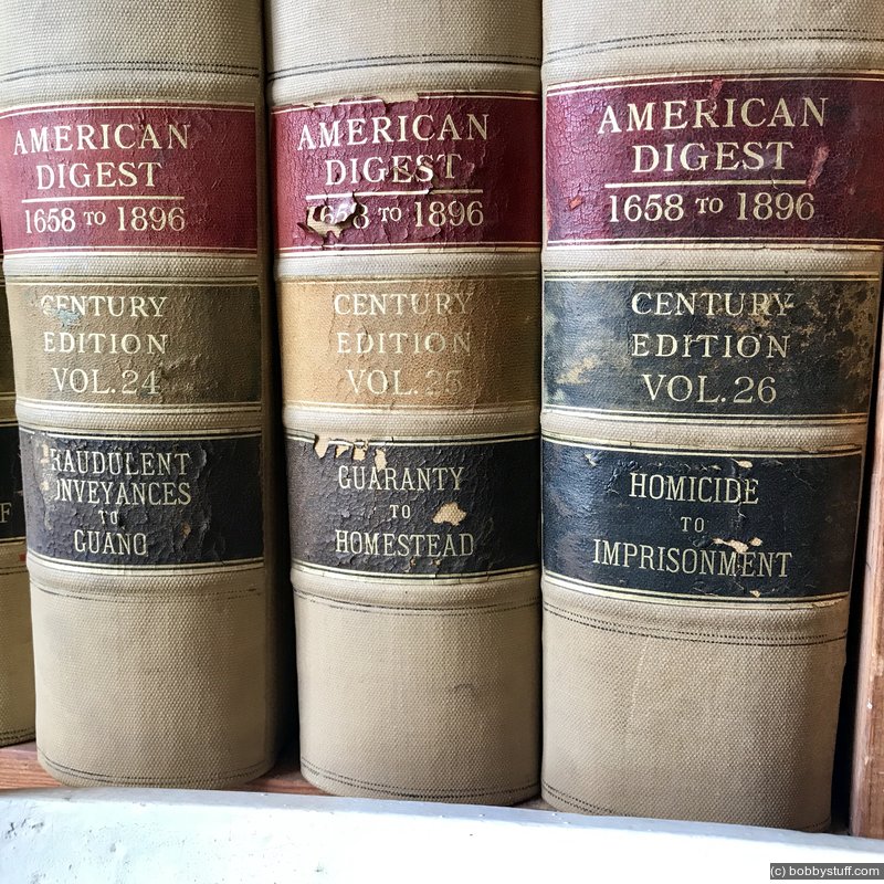
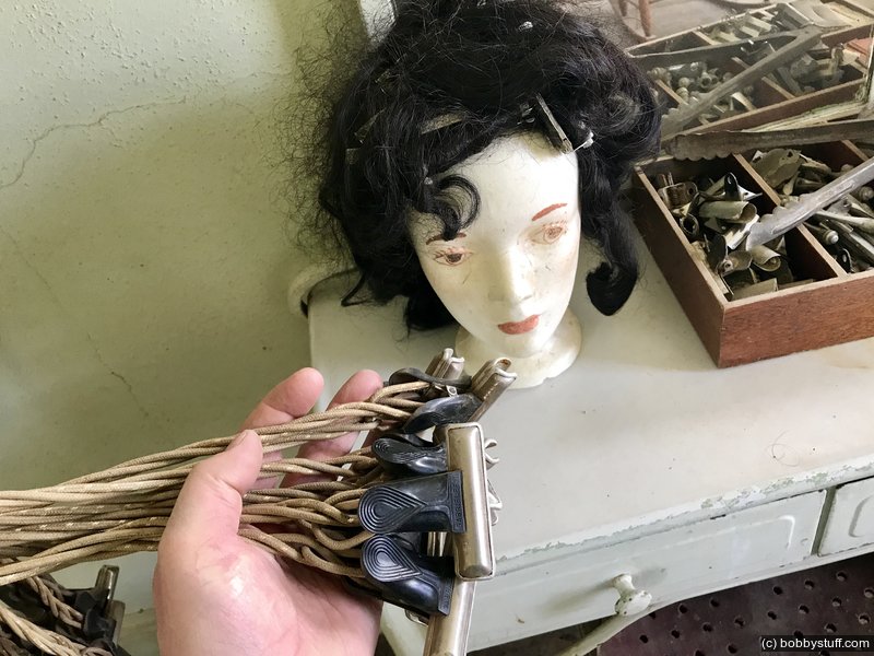
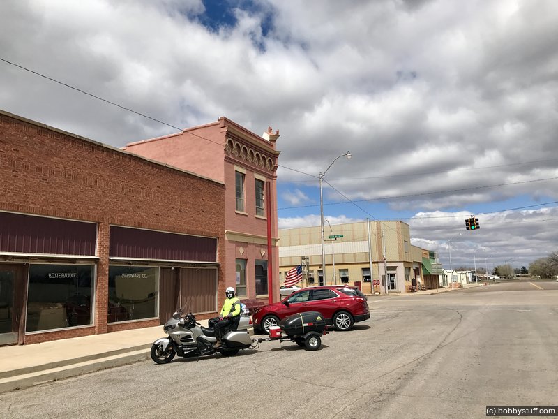
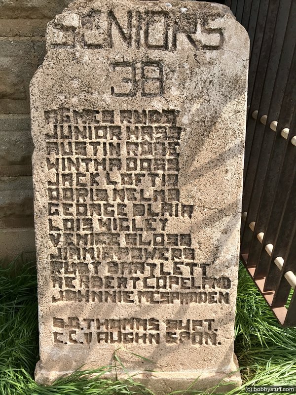
I asked if I could take his picture. He said yes, so I did and gave him one of my coins so he could check out my website. Bobby, if you see this, it was a pleasure meeting you. And I did visit the Territorial Jail. We had a blast at the 100'th meridian museum today. Glenda is a volunteer there and she gave us a personal tour. If you like history you will love this place.There were bank ledgers and savings books for local residents from the 20's and 30's. Upstairs were attorney, dentist and beauty shop officies with original equipment and law books. Next door is the Bonebrake Hardware store. The owners locked up in the 60's and never returned. Nothing has been touched since them. Looking through the windows is like looking into a time capsule.
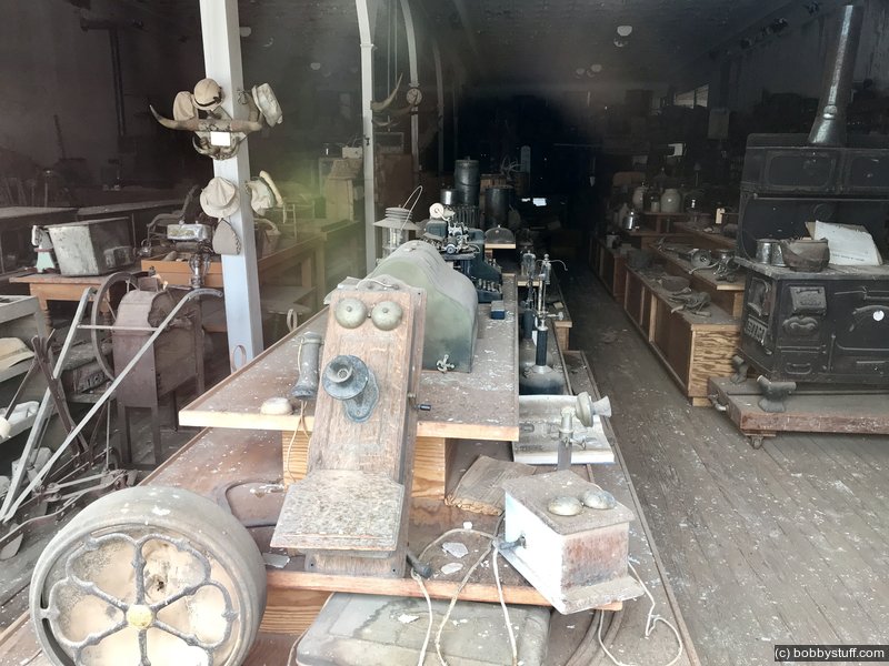
Bonebrake Hardware Company in Erick, OK
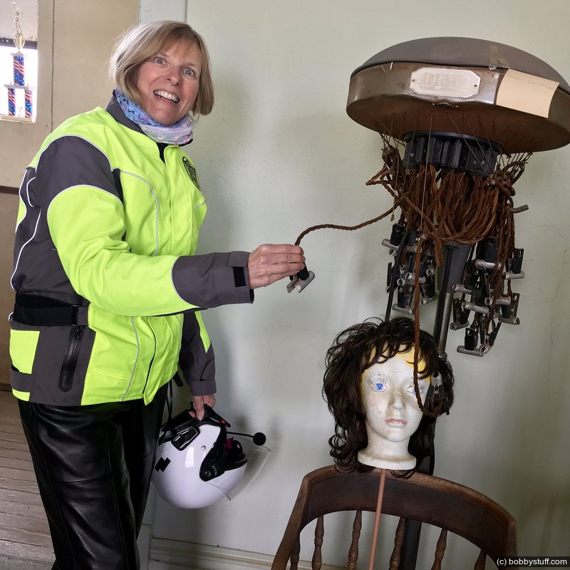
100th Meridian Museum Erick, OK
Laurie
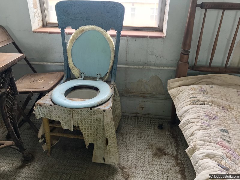
100th Meridian Museum Erick, OK
100th Meridian Museum Erick, OK
100th Meridian Museum Erick, OK
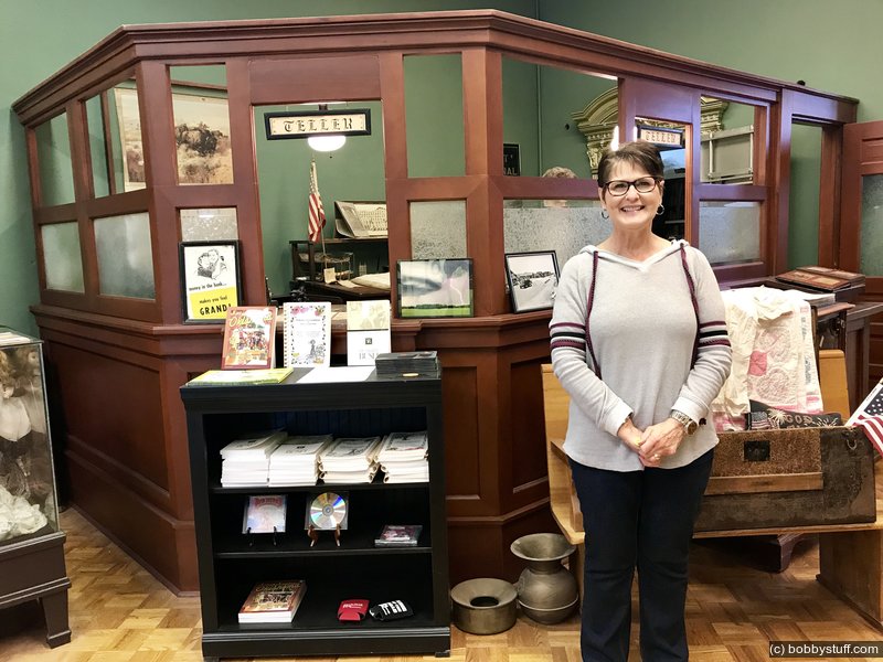
100th Meridian Museum Erick, OK
100th Meridian Museum Erick, OK
Laurie
100th Meridian Museum Erick, OK
Laurie
Texola OK
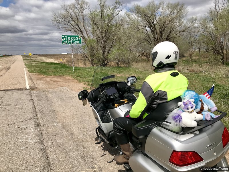
Texas state line
Laurie
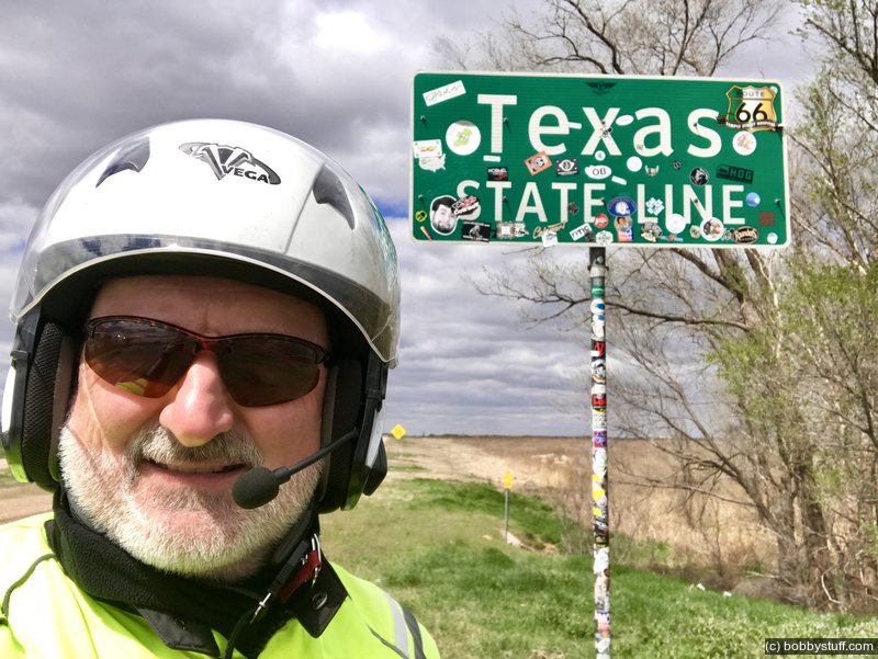
Texas state line
Bobby
Texas state line
Laurie
 Elevation Changes During the Day
The day started at 1,440 feet and ended at 3,662 feet. The highest altitude was 3,662 feet and the lowest altitude was 1,401 feet.