Day 10, Pacific Coast
| Miles: | 152 |
| Start Point: | Yoncalla, OR |
| Sun Rise: | 7:30 AM PDT |
| Start Weather: | At 6:00 AM PDT the temperature was 44.2 ° with 85% humidity. The conditions were foggy with a wind speed of 1 MPH and wind gusts of 5.1 MPH. |
| End Point: | Yachats, OR |
| Sun Set: | 6:31 PM PDT |
| End Weather: | At 6:00 PM PDT the temperature was 56.7 ° with 80% humidity. The conditions were clear with a wind speed of 6.6 MPH and wind gusts of 10.3 MPH. |
Table of Contents
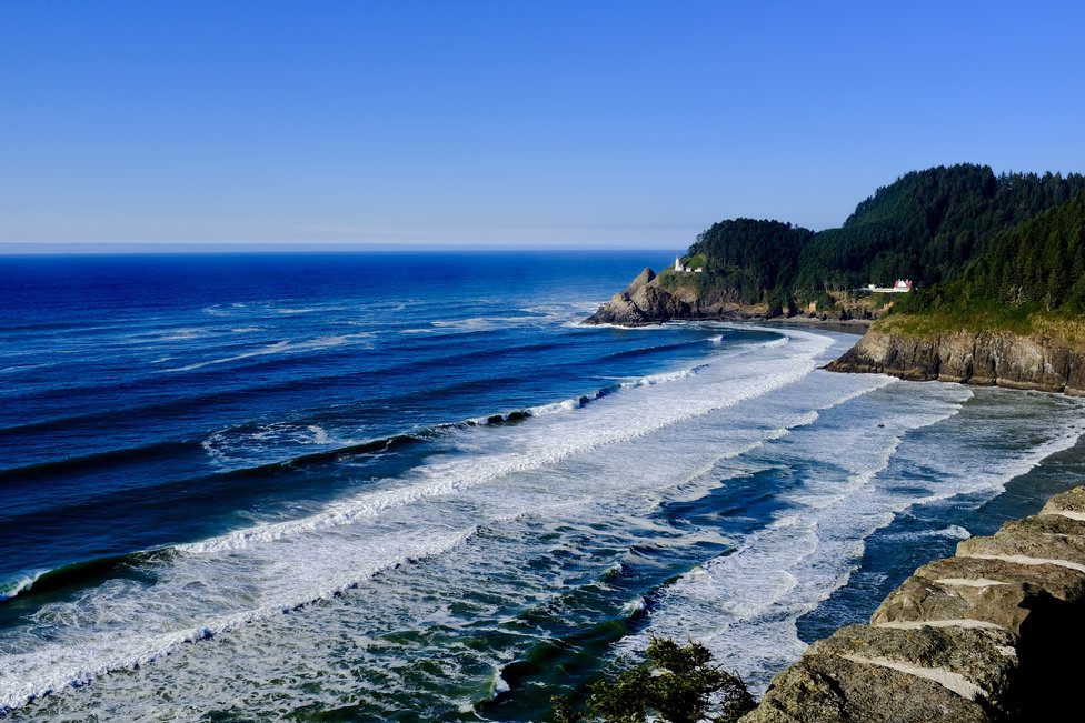
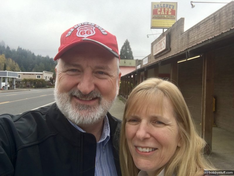
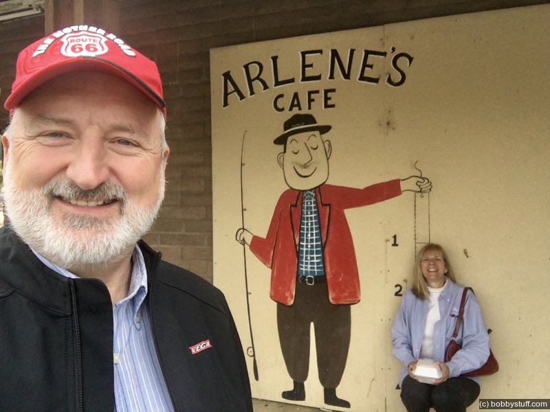
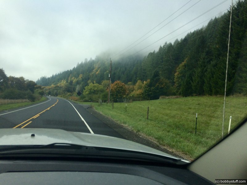
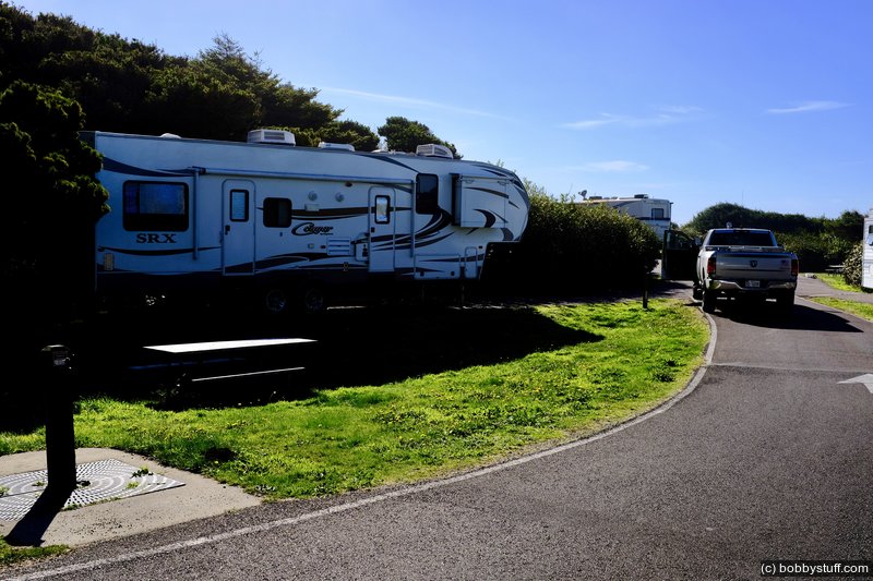
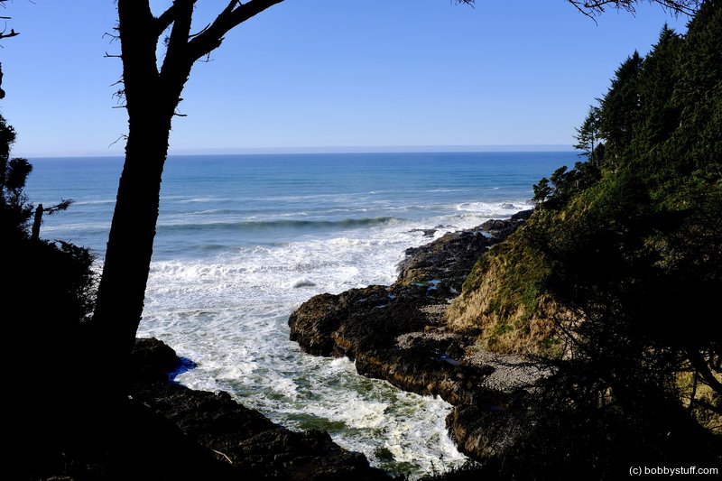
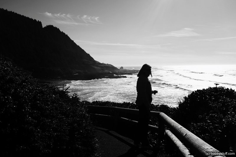
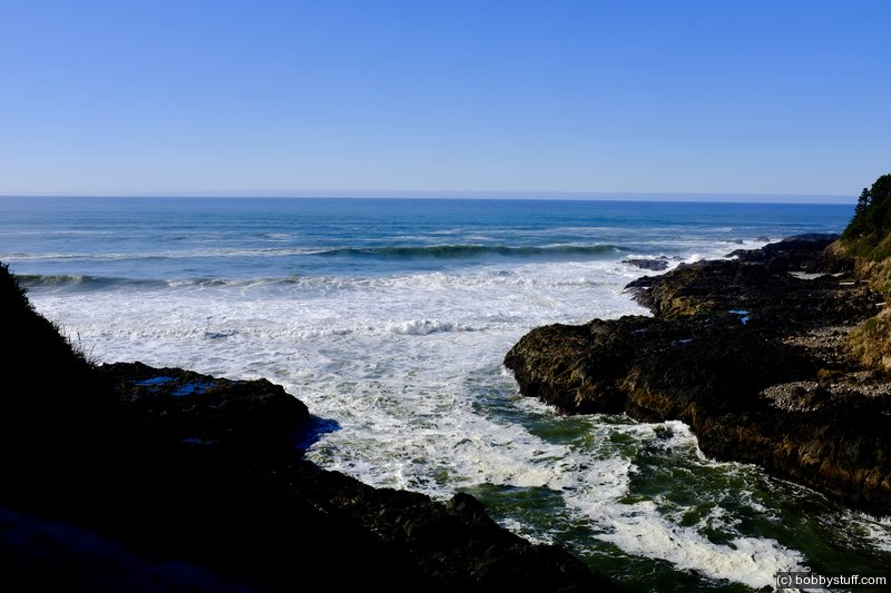
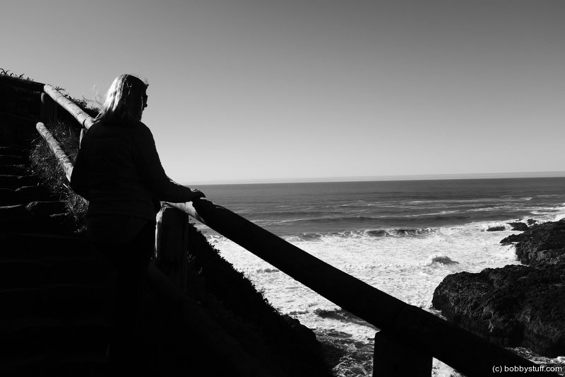
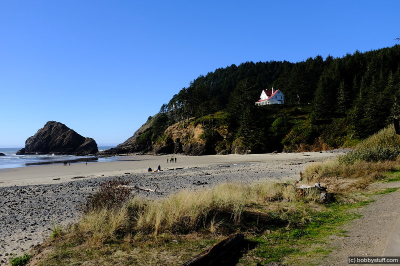
Today we headed for the Pacific Coast and actually got a campsite on the beach at Tillicum Beach not long after lunch. On the way to the beach we hit another wonderful roadside cafe in Elkton called Arlene's Cafe. The breakfast was great. The owners were from Murphy, NC.
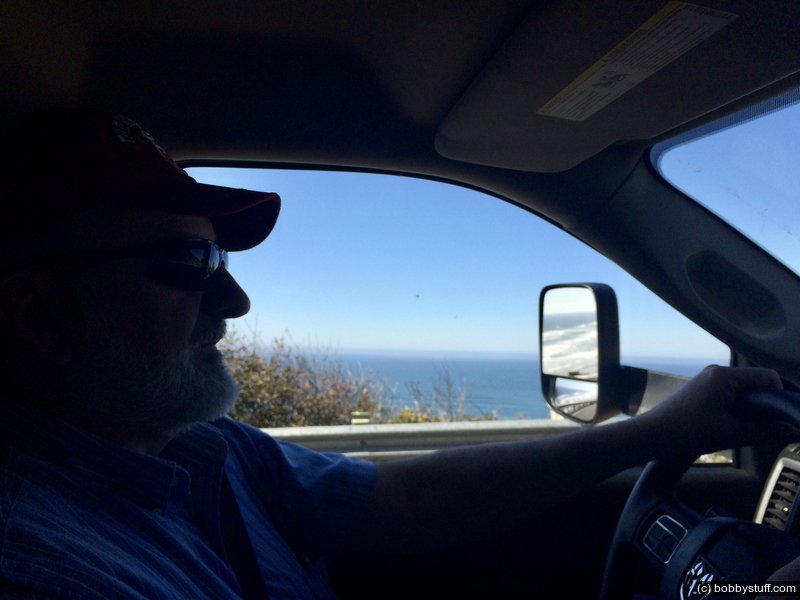
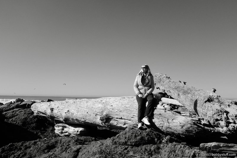
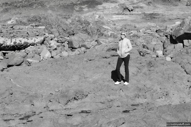
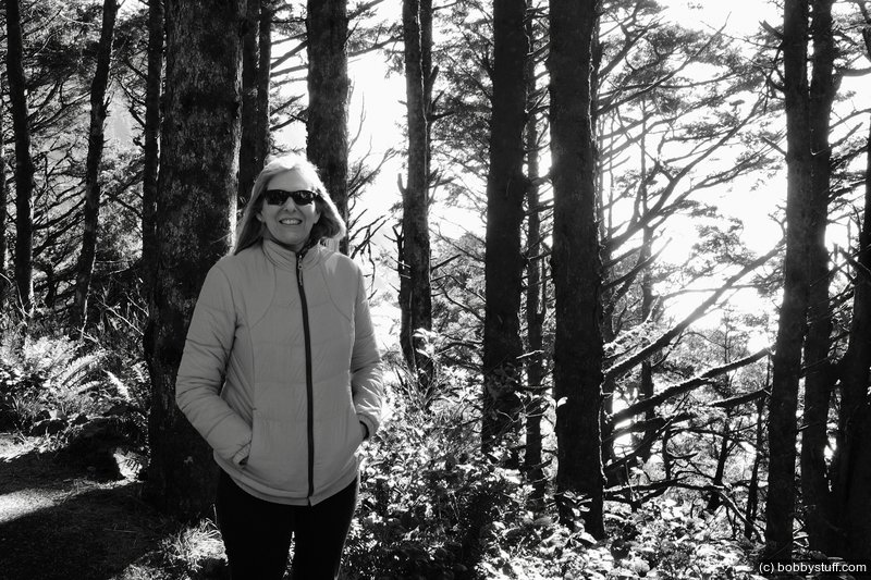
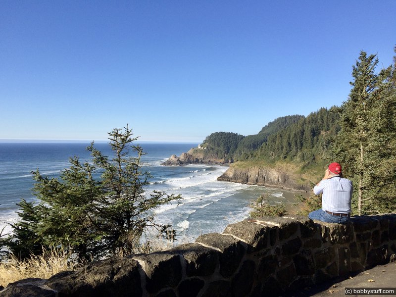
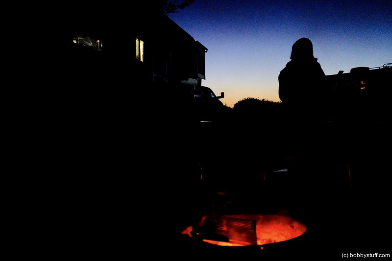
After setting up camp we headed back down the coast in the truck to get some photos. Later that night we sat around a fire made from NC wood I have hauled for 4,000 miles so I can have a campfire. Laurie cut up some apples and added butter, sugar and cinnamon wrapped in aluminum foil. We cooked them over the fire and they were so good, words can not describe the feeling (grin).
Oct 16, 2017 Mon 11:02:50 AM PDT
Altitude: 130 ft Camera: iPhone 6sDisplay on Google Map
Breakfast in Elkton, CA
Bobby, Laurie
Breakfast in Elkton, CA
Bobby, Laurie
Oct 16, 2017 Mon 11:03:04 AM PDT
Altitude: 126 ft Camera: iPhone 6sDisplay on Google Map
Breakfast in Elkton, CA
Bobby, Laurie
Breakfast in Elkton, CA
Bobby, Laurie
 Video
Video
Oct 16, 2017 Mon
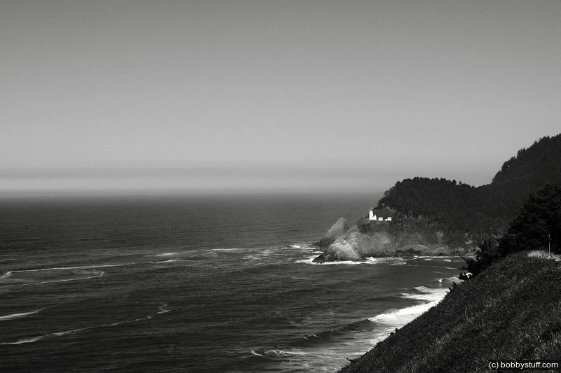
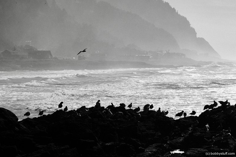
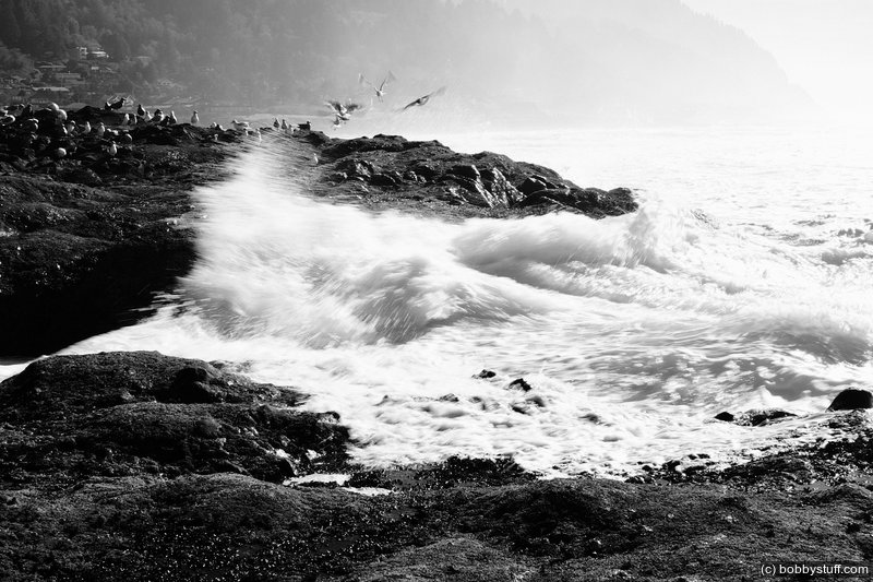
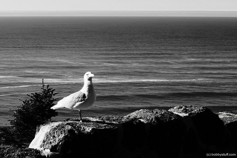
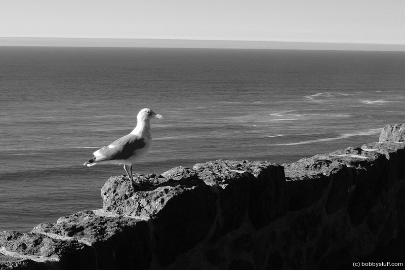
I like the birds in this one.
I like the birds in this one.
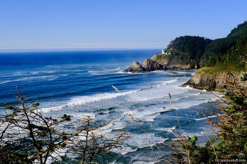
Oct 16, 2017 Mon 2:34:37 PM PDTDisplay on Google Map
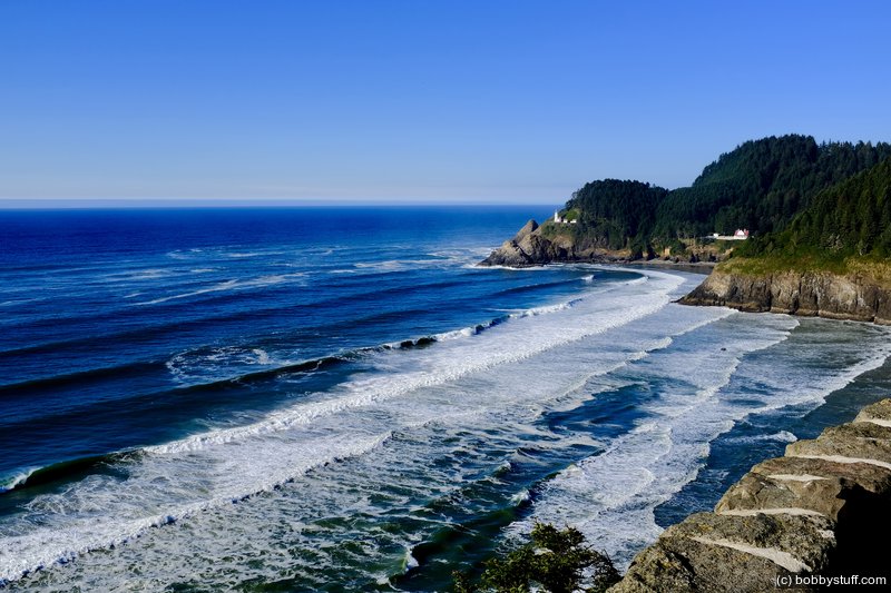
Oct 16, 2017 Mon 2:34:45 PM PDTDisplay on Google Map
 Elevation Changes During the Day
The day started at 521 feet and ended at 7 feet. The highest altitude was 565 feet and the lowest altitude was 0 feet.
 Google Map Track Log
Pick a trip from the first drop down list below.
| Day 9, Crater Lake, OR |
Topics
General
Travel
TagsConfederate Statues (32),Motorcycle (97),National Parks (9),Odd (1),Route 66 (33),Unemployment (6),Zombies (1)