Day 8, Smith Valley, NV to Susanville, CA
| Miles: | 235 |
| Start Point: | Smith, NV |
| Sun Rise: | 7:07 AM PDT |
| Start Weather: | At 6:00 AM PDT the temperature was 34 ° with 63% humidity. The conditions were clear with a wind speed of 1 MPH and wind gusts of 6.9 MPH. |
| End Point: | Susanville, CA |
| Sun Set: | 6:24 PM PDT |
| End Weather: | At 6:00 PM PDT the temperature was 52 ° with 27% humidity. The conditions were clear with a wind speed of 4.3 MPH and wind gusts of 12.2 MPH. |
Table of Contents
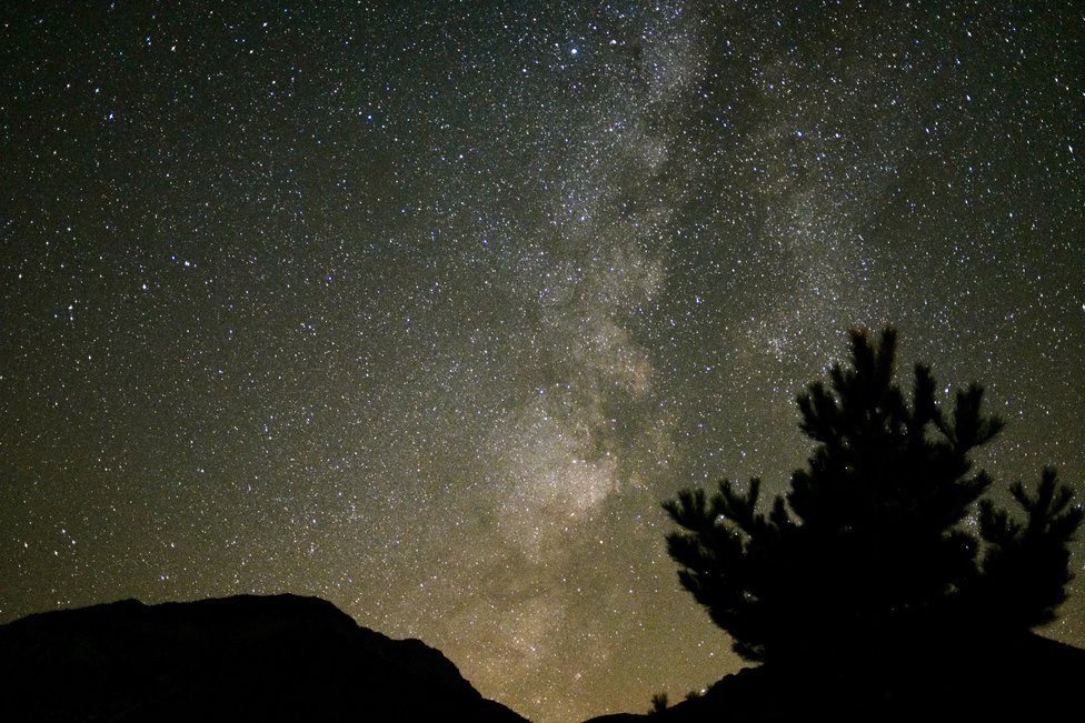
We had a very nice visit with Cousin Judy. The sky gets dark at night in Smith Valley, NV. Judy and I got some photos of the Milky Way. The photo above is my best attempt. The vertical haze in the photo is the Milky Way. We can't see that from Raleigh, NC.
After an eggs and bacon breakfast we said our good byes and headed north to the Donner State Park. I was looking forward this stop but again our plans changed. Saturday is a busy time for the park and there was no room for us to stop. We already plan to return again to Death Valley when there is no smoke, so we'll add the Donner State Park to that list.
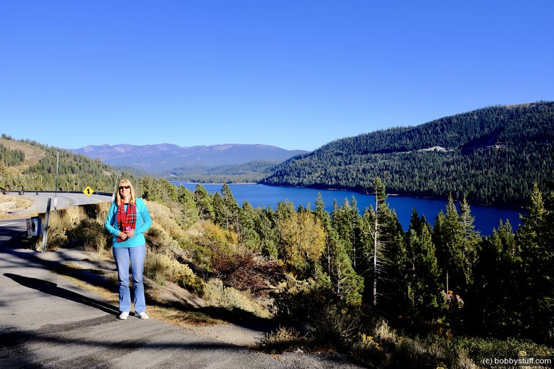
The last two photos below are of Truckee Lake. It played a role in the Donner Party disaster.
Oct 14, 2017 Sat 9:19:00 AM PDT
Altitude: 4863 ft Camera: X100FDisplay on Google Map
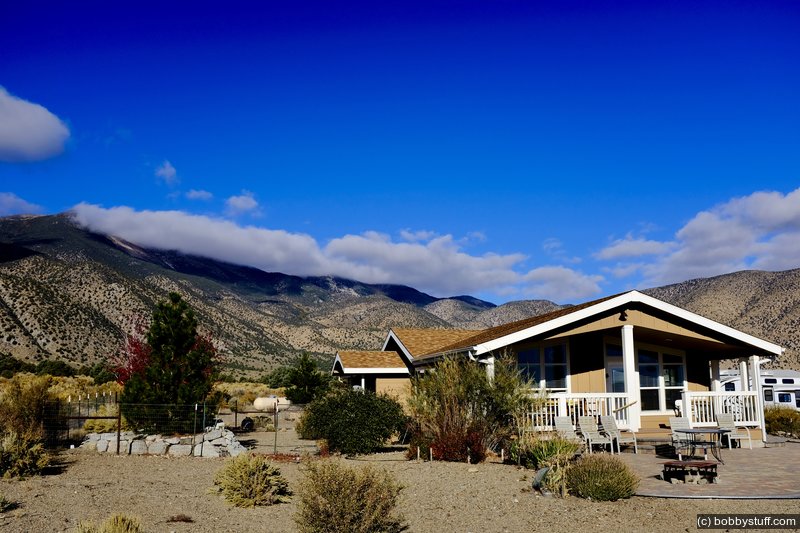
Cousin Judys' in Smith Valley, NV.
Cousin Judys' in Smith Valley, NV.
Oct 14, 2017 Sat 11:26:27 AM PDT
Altitude: 4863 ft Camera: X100FDisplay on Google Map
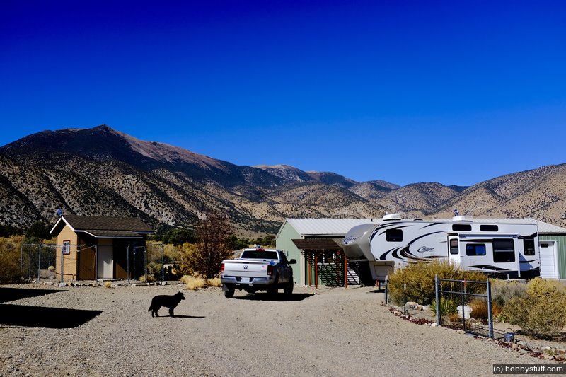
Cousin Judys' in Smith Valley, NV.
Cousin Judys' in Smith Valley, NV.
Oct 14, 2017 Sat 11:30:40 AM PDT
Altitude: 4863 ft Camera: X100FDisplay on Google Map
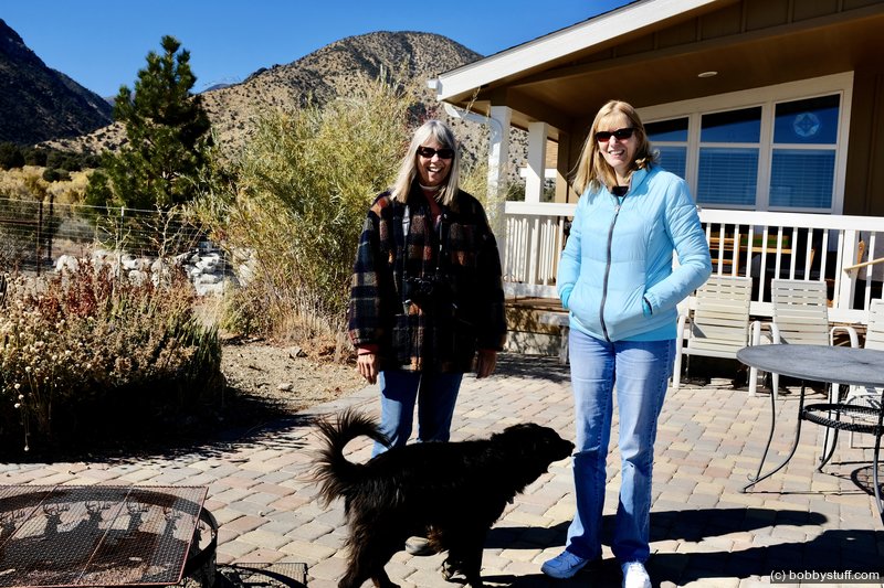
Cousin Judys' in Smith Valley, NV.
Judith, Laurie
Cousin Judys' in Smith Valley, NV.
Judith, Laurie
Oct 14, 2017 Sat 11:32:33 AM PDT
Altitude: 4863 ft Camera: X100FDisplay on Google Map
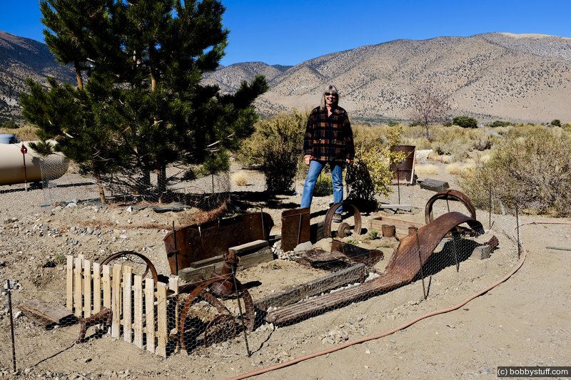
Cousin Judys' in Smith Valley, NV. Truck garden.
Judith
Cousin Judys' in Smith Valley, NV. Truck garden.
Judith
Oct 14, 2017 Sat 2:07:06 PM PDT
Altitude: 6579 ft Camera: iPhone 6sDisplay on Google Map
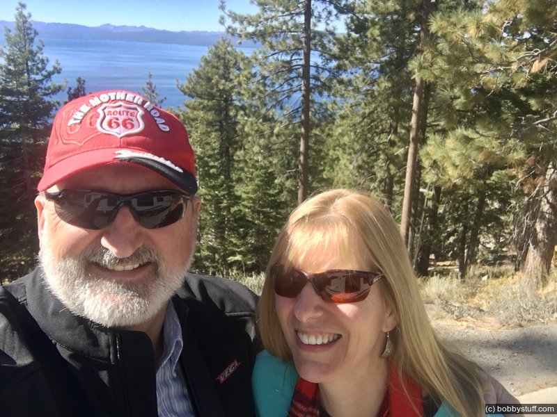
Lake Tahoe, NV
Bobby, Laurie
Lake Tahoe, NV
Bobby, Laurie
Oct 14, 2017 Sat 4:16:25 PM PDT
Altitude: 6460 ft Camera: X100FDisplay on Google Map
Donner Lake, CA .
Laurie
Donner Lake, CA .
Laurie
 Elevation Changes During the Day
The day started at 4,856 feet and ended at 4,143 feet. The highest altitude was 7,217 feet and the lowest altitude was 4,050 feet.
 Google Map Track Log
Pick a trip from the first drop down list below.