Day 7, Stovepipe Wells, Death Valley to Cousin Judy's
| Miles: | 349 |
| Start Point: | Beatty, NV |
| Sun Rise: | 6:55 AM PDT |
| Start Weather: | At 6:00 AM PDT the temperature was 66.6 ° with 7% humidity. The conditions were clear with a wind speed of 2.9 MPH and wind gusts of 8.1 MPH. |
| End Point: | Smith, NV |
| Sun Set: | 6:23 PM PDT |
| End Weather: | At 6:00 PM PDT the temperature was 60.6 ° with 18% humidity. The conditions were clear with a wind speed of 3.8 MPH and wind gusts of 11 MPH. |
Table of Contents

We had high hopes for Death Valley. We planned to stay 2 days and 3 nights in the middle of the park at Stovepipe Wells. We were going to ride Ruby in the mid 80 ° weather that was forecasted and get some great sunrise and sunset shots.
The fires in California cancelled our plans. I have been to Death Valley several times and the air has always been very clear. When we arrived the smoke was so thick there was not much to see. I did not take a single photo.
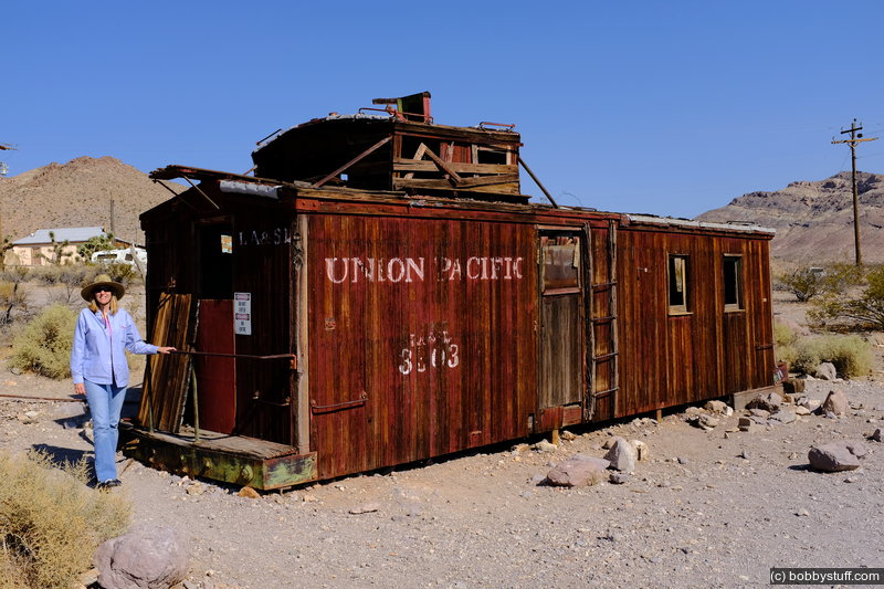
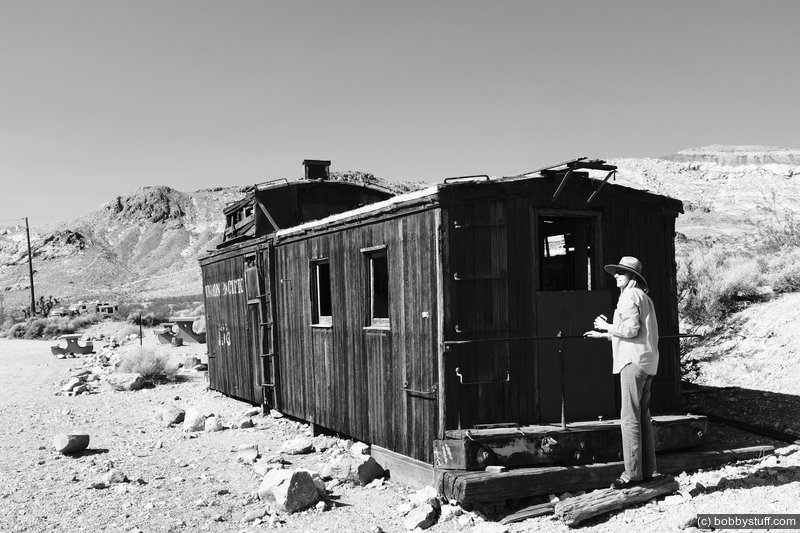
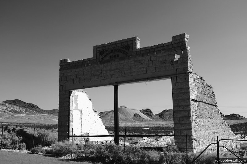
 Rhyolite Gold Rush Ghost Town, Nevada
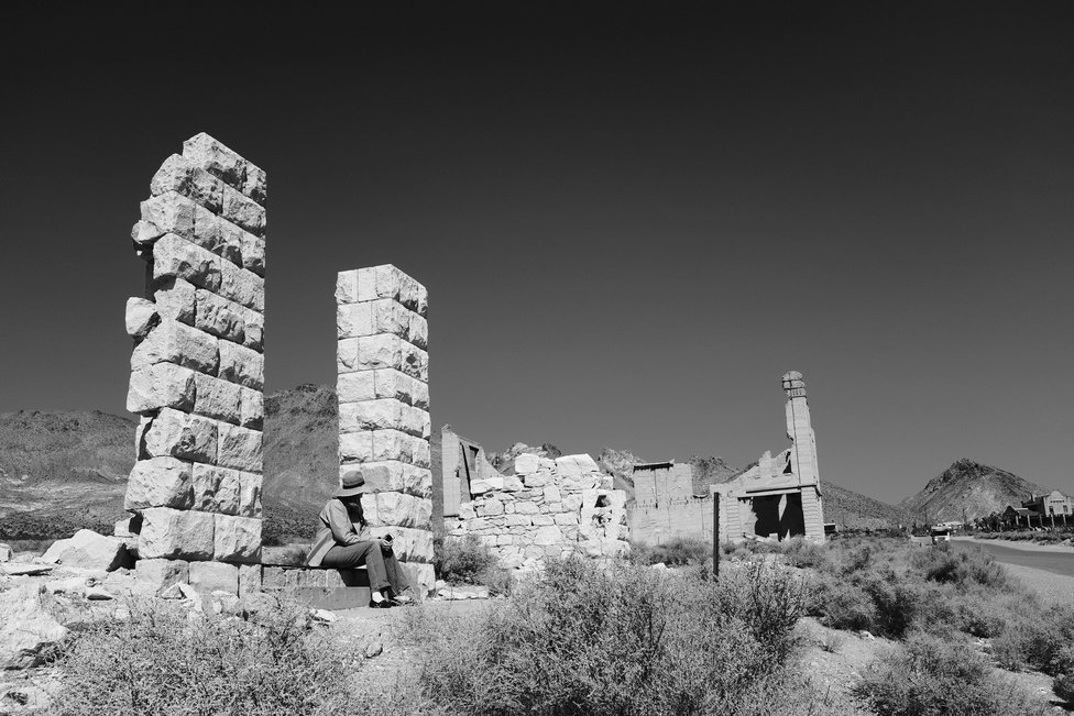
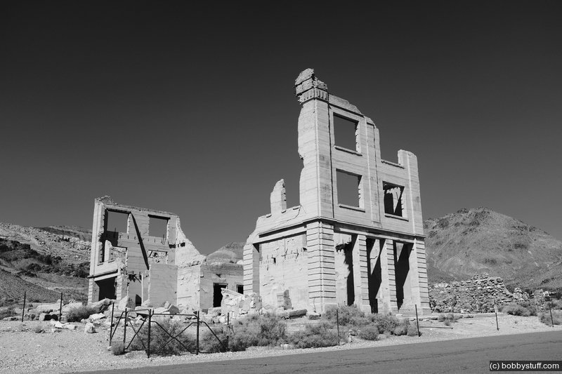
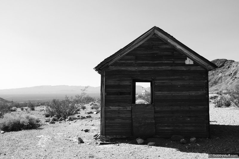
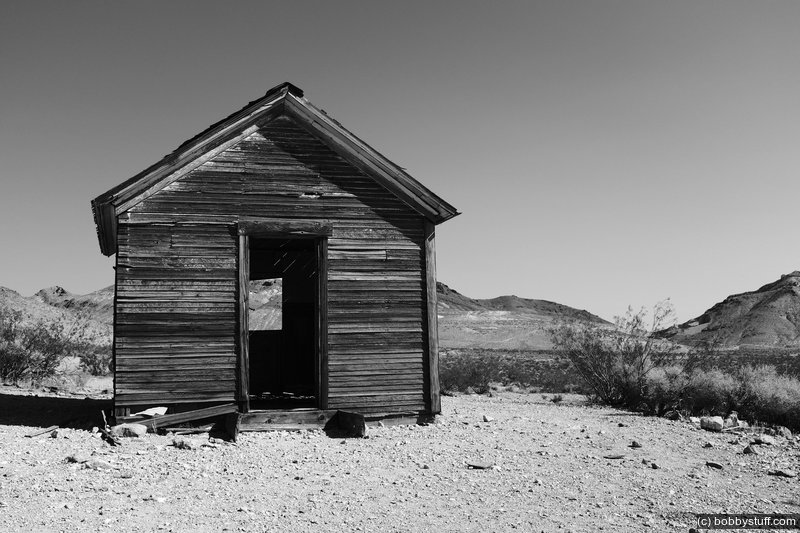
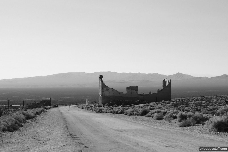
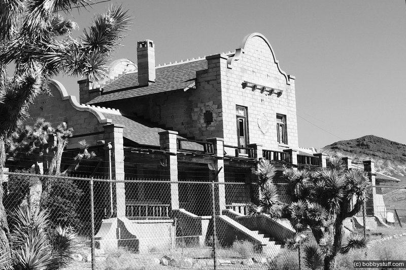
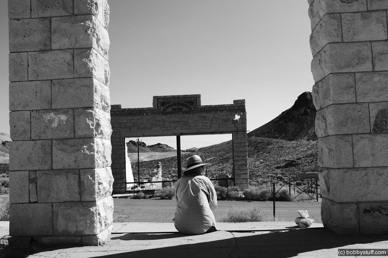
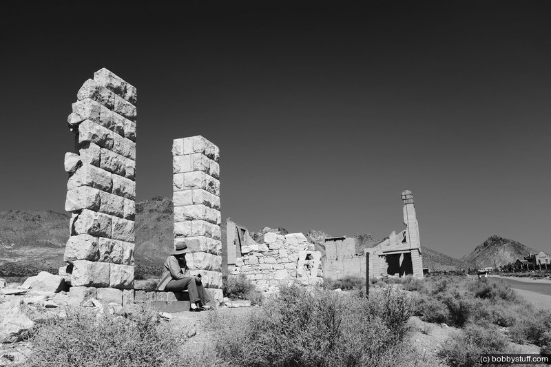
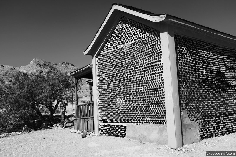
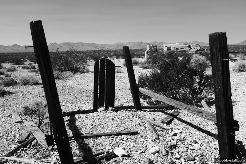
View a list of places like this or a map.This morning we left early. Just outside the park on the east side is the Hisoric Gold Mining Town Site of Rhyolite. I really like this place. It was established in 1905, had 5,000 to 8,000 people by 1908 and by 1920 the population was 14. Three railroads served the town and the largest building in the photos below was the train depot.
The tallest building in the photos was the Cook Bank building, erected in January 1908. It had three stories plus a basement. The building had electric lights, steam heating and marble floors. You can find a great Wikipedia article about the town here.
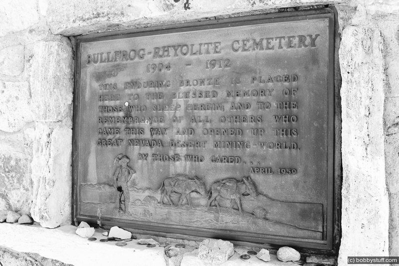
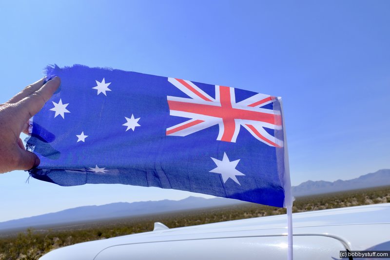
Two ladies from Australia helped us find the local cemetery. Alice and Julie, it was nice to meet you.
We arrived at Cousin Judy's late in the day and had a great dinner at a local restaurant with Judy and two of her friends.
Ghost town of Rhyolite, CA, Death Valley
Oatman, AZ
Laurie
Ghost town of Rhyolite, CA, Death Valley
Laurie
Ghost town of Rhyolite, CA, Death Valley
Ghost town of Rhyolite, CA, Death Valley
Ghost town of Rhyolite, CA, Death Valley
Ghost town of Rhyolite, CA, Death Valley
Ghost town of Rhyolite, CA, Death Valley
Ghost town of Rhyolite, CA, Death Valley
Laurie
Ghost town of Rhyolite, CA, Death Valley
Ghost town of Rhyolite, CA, Death Valley
Laurie
Ghost town of Rhyolite, CA, Death Valley
Laurie
Ghost town of Rhyolite, CA, Death Valley
Ghost town of Rhyolite, CA, Death Valley
Ghost town of Rhyolite, CA, Death Valley
Ghost town of Rhyolite, CA, Death Valley
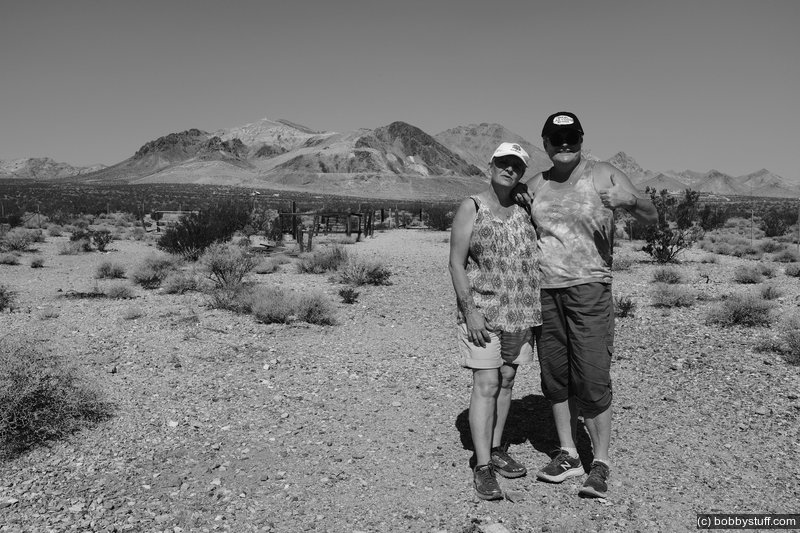
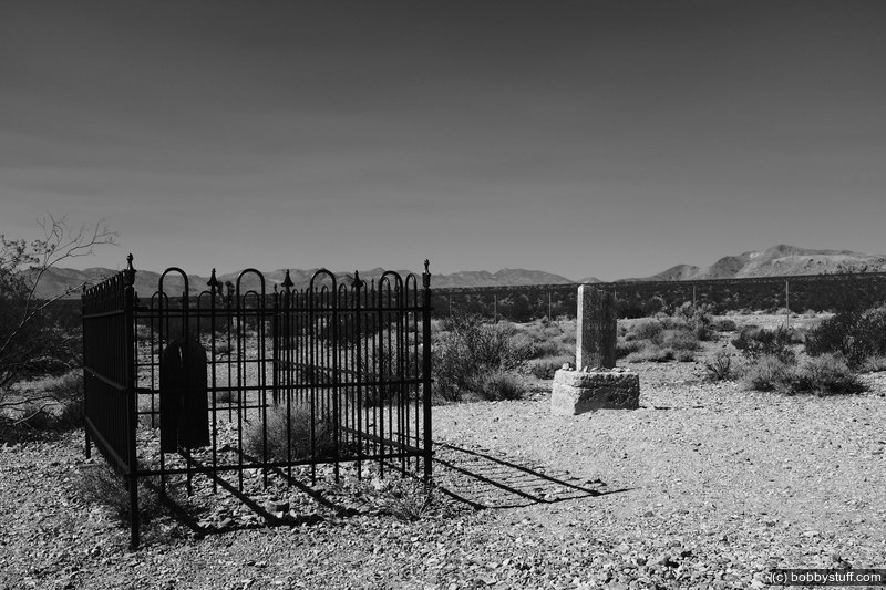
Ghost town of Rhyolite, CA, Death Valley. Two ladies from Australia helped me find the cemetery.
Ghost town of Rhyolite, CA, Death Valley. Two ladies from Australia helped me find the cemetery.
 Elevation Changes During the Day
The day started at -71 feet and ended at 4,837 feet. The highest altitude was 6,217 feet and the lowest altitude was -71 feet.