Day 6, Peach Springs, AZ to Stovepipe Wells, Death Valley
| Miles: | 359 |
| Start Point: | Peach Springs, AZ |
| Sun Rise: | 6:38 AM MST |
| Start Weather: | At 6:00 AM MST the temperature was 45.8 ° with 37% humidity. The conditions were clear with a wind speed of 4 MPH and wind gusts of 9.5 MPH. |
| End Point: | Beatty, NV |
| Sun Set: | 6:17 PM PDT |
| End Weather: | At 6:00 PM PDT the temperature was 85.3 ° with 6% humidity. The conditions were clear with a wind speed of 3 MPH and wind gusts of 6.9 MPH. |
Table of Contents

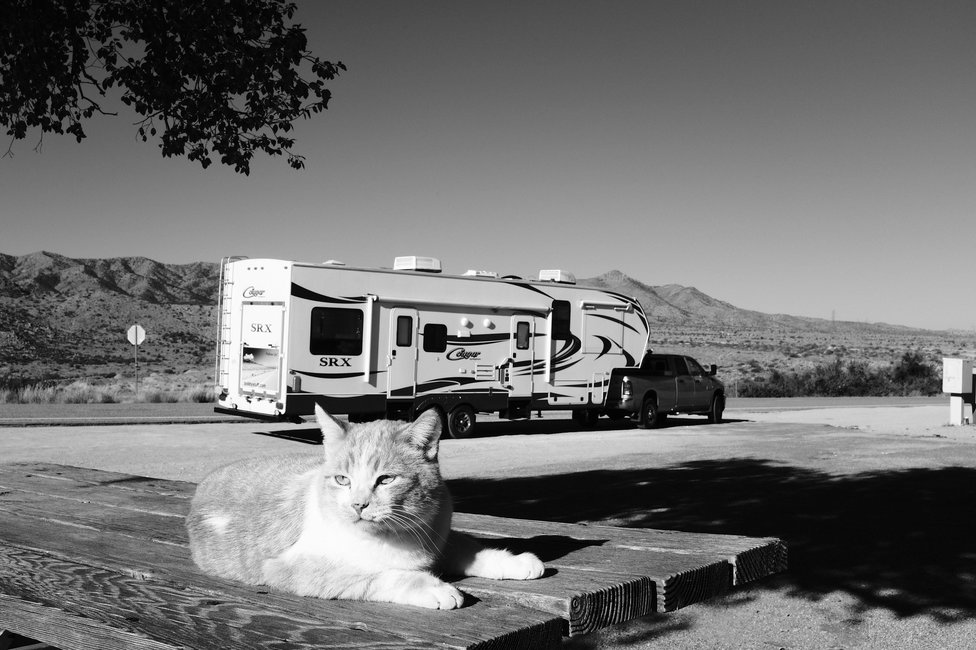
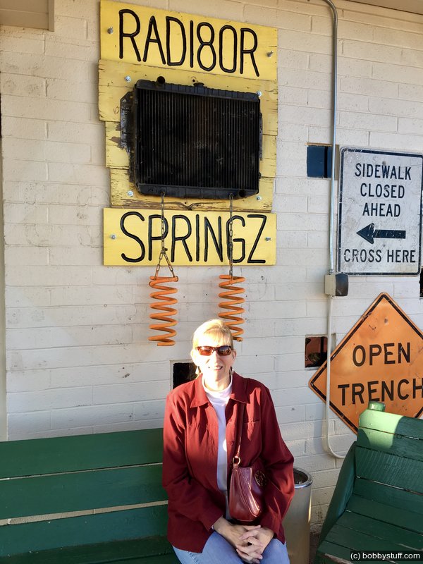
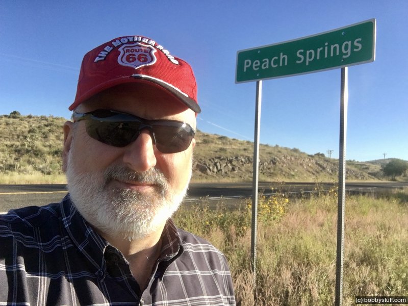
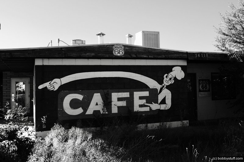
 Peach Springs AZ
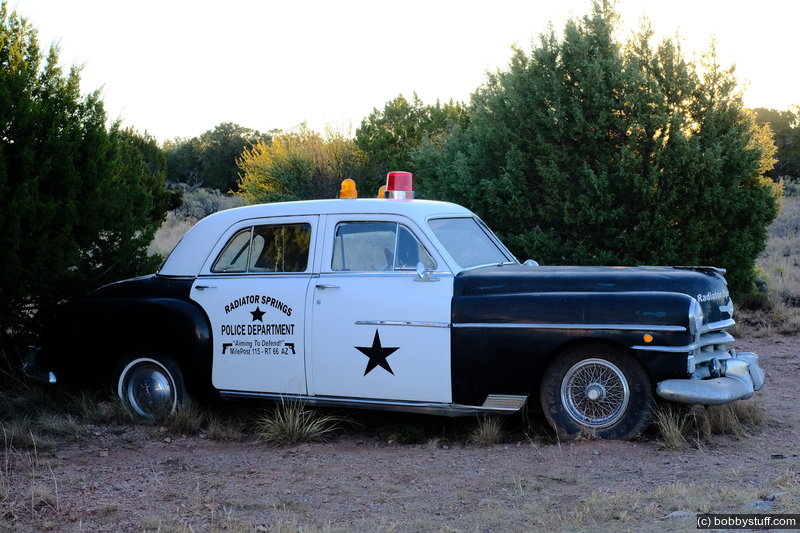
View a list of places like this or a map.A continental breakfast was included in the campground fee so we had coffee, juice and bagels before we left. Old Route 66 leaves I-40 near Seligman and loops north of I-40 through here to Peach Springs then back down to reconnect with I-40 at Kingman. I've read that Peach Springs was the inspiration for the town of Radiator Springs in the movie Cars.
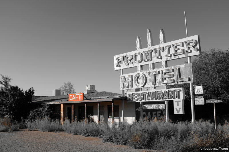
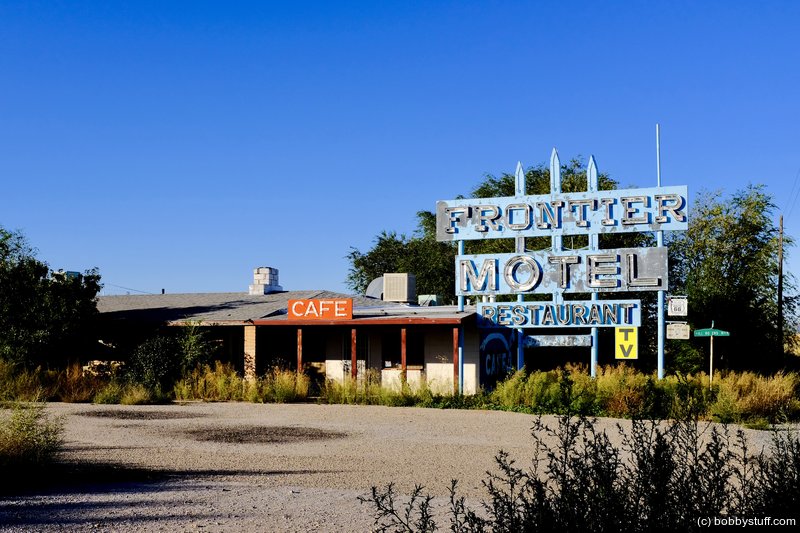
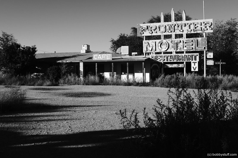
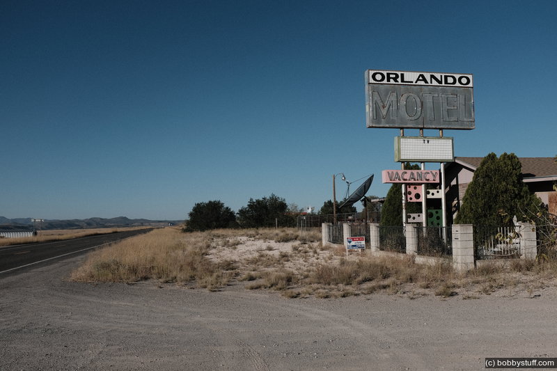
We stopped to photograph a couple of abandoned motels on old Route 66 west of Peach Springs.
Grand Canyon Caverns CG. No one here and it was very quiet.
Grand Canyon Caverns CG. No one here and it was very quiet.
Grand Canyon Caverns CG. No one here and it was very quiet.
Laurie
Old Route 66.
Bobby
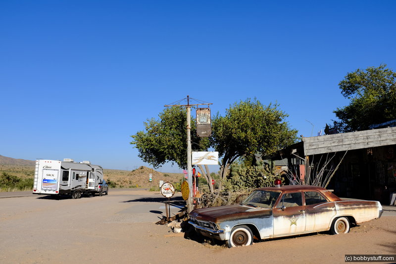
Hackberry Store, Kingman AZ
View a list of places like this or a map.roadsideamerica.com
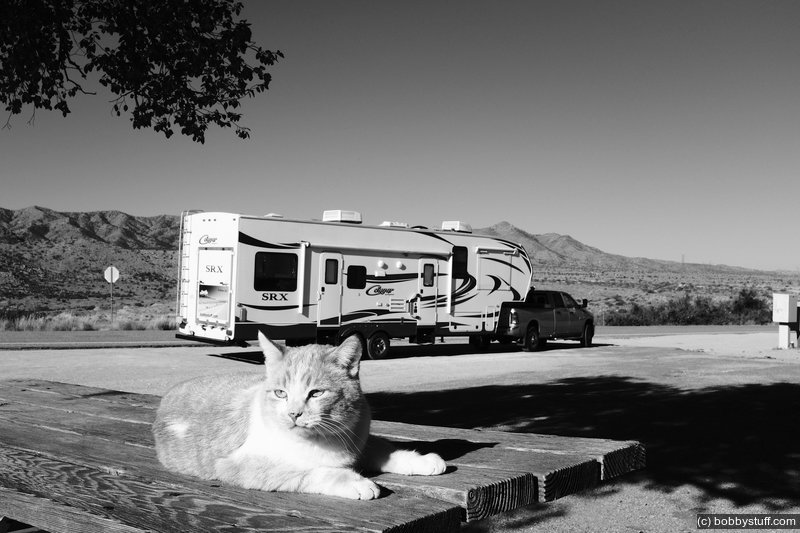
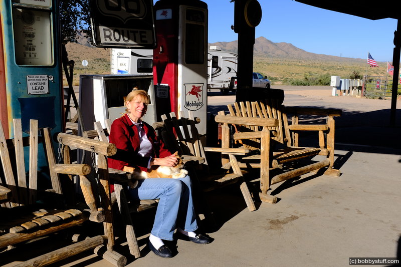
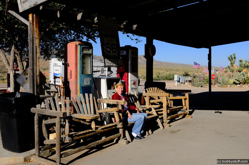
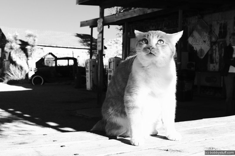
I've wanted to visit this place on old Route 66 for a couple of years. It was a good stop. The local cat soon found Laurie. I think he was Teddy's cousin.Generously described as "ramshackle," Hackberry General Store has enthralled Route 66 pilgrims since Bob Waldmire reopened it in 1992 (Bob was a legendary Route 66er whose father invented the hot-dog-on-a-stick). The store, built in 1934, had been abandoned for 14 years, and Bob kept it looking that way. When Bob sold it to John Pritchard in 1998 it was with the understanding that John would maintain the store's dilapidated charm, and when John sold it to Amy Franklin in 2016, she agreed to do likewise. .ap Hackberry General Store, apparently held together by the rusting signs nailed to its exterior, is the only outpost of civilization for miles. Its gas pumps have been dry for decades, but it still has a real, working outdoor pay phone because there's no mobile service in Hackberry. Visitors, many from countries other than the U.S., crowd into the store to soak in the crumbly Mother Road vibe, tack their paper money and patches to the walls, and buy Hackberry General Store snacks, t-shirts, and refrigerator magnets.
A little of this "real" Route 66 goes a long way, and it's reasonable to assume that if the Mother Road were still lined with Hackberry-like places, this one wouldn't seem so charming.
Hackberry General Store, old Route 66, AZ
Hackberry General Store, old Route 66, AZ
Hackberry General Store, old Route 66, AZ
Laurie
Hackberry General Store, old Route 66, AZ
Laurie
Hackberry General Store, old Route 66, AZ
Hackberry General Store, old Route 66, AZ
Hackberry General Store, old Route 66, AZ
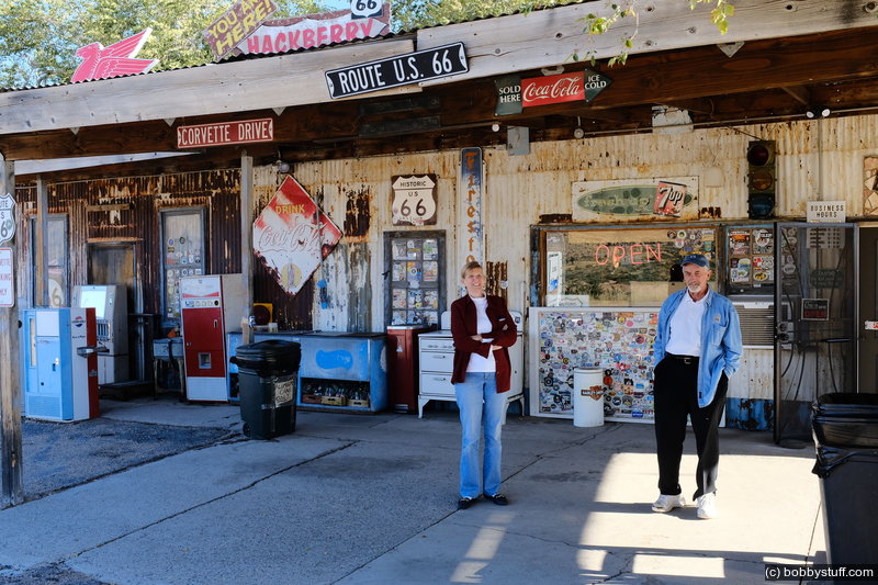
Hackberry General Store, old Route 66, AZ
Laurie
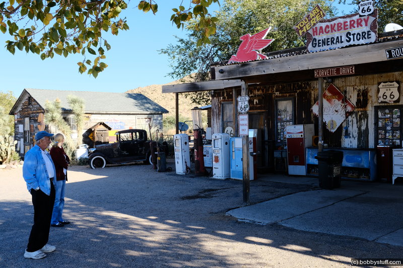
Hackberry General Store, old Route 66, AZ
Laurie
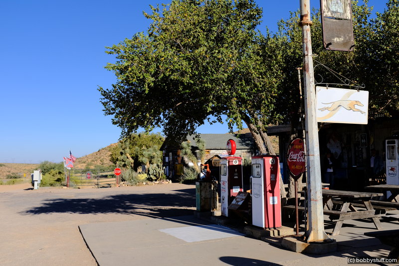
Cool Springs Station, Oatman AZ
View a list of places like this or a map.roadsideamerica.com
We were shocked to see this pristine relic sitting along an otherwise empty stretch of Route 66, at the entrance to the Black Mountains. Did isolation and a dry climate somehow preserve it?
Well, no.
Cool Springs Service Station had been a ruin -- nothing more than a blackened pile of rocks -- until 2001. That's when Ned Leuchtner, a real estate agent from Chicago, bought it and began its careful restoration, based on vintage photographs. The work was completed at the end of 2004.
Cool Springs Service Station was built in the 1920s and eventually had a cafe, a bar, and cabins. But Route 66 was bypassed in 1953, and the station was abandoned in 1964. Adding insult to injury, its ruins were blown up for the 1991 Dolph Lundgren/Jean-Claude Van Damme film Universal Soldier.
We're happy that Leuchtner spent his time and money to bring Cool Springs back from the dead, but please don't drive to this isolated spot with your fuel gauge on "E." Cool Springs may look like a gas station, but it only sells snacks and Route 66 souvenirs.
Update: The station closed briefly in the Spring of 2016, but it's now reopen with a new full-time caretaker, J. Barger, known to everyone as simply "J.B."
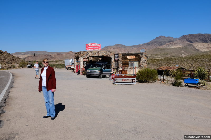
Cool Springs on our way to Oatman, AZ
Laurie
Cool Springs on our way to Oatman, AZ
Cool Springs on our way to Oatman, AZ
Laurie
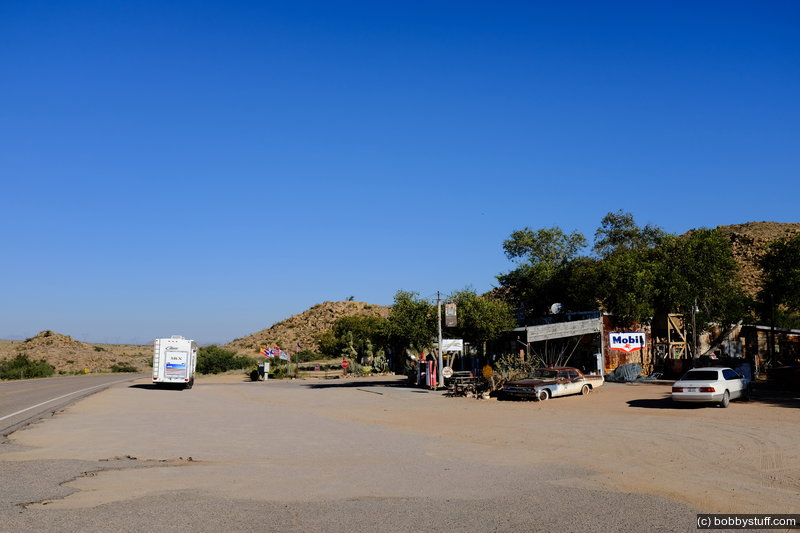
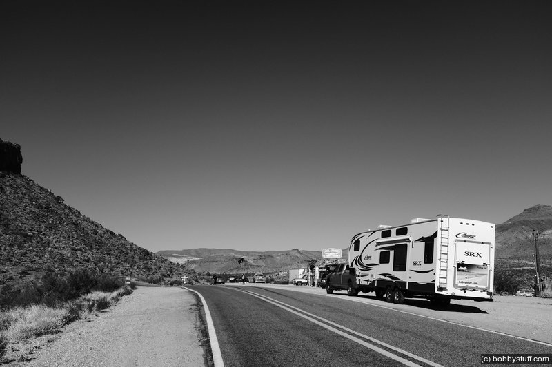
Road from Kingman to Oatman AZ
View a list of places like this or a map.Laurie was a little concerned because there were multiple signs about no trucks longer than 40 feet allowed. We are probably longer than 50 feet nose to tail, but I convinced her we would be fine. It was a little tight in places and I scraped the rear bumper once but it all worked out ok.
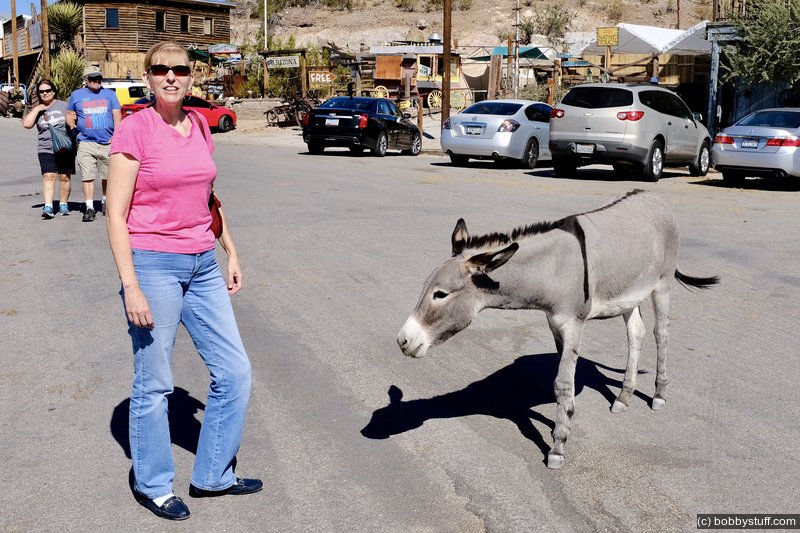
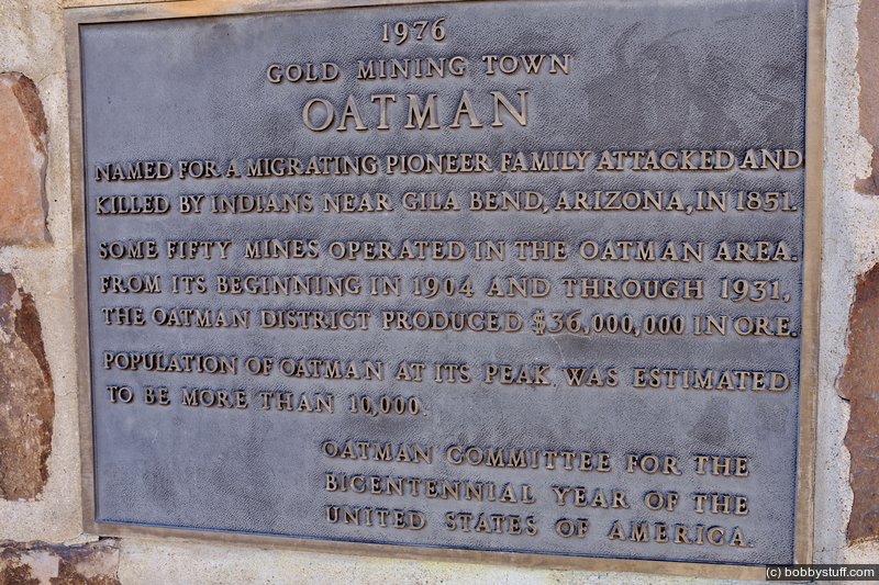
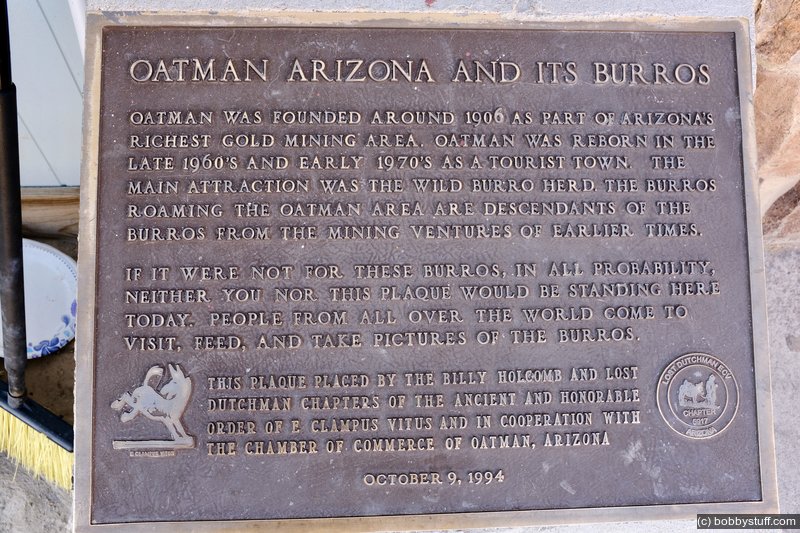
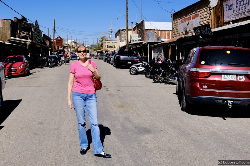
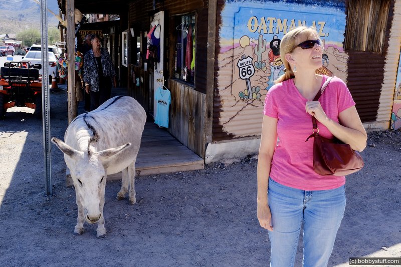
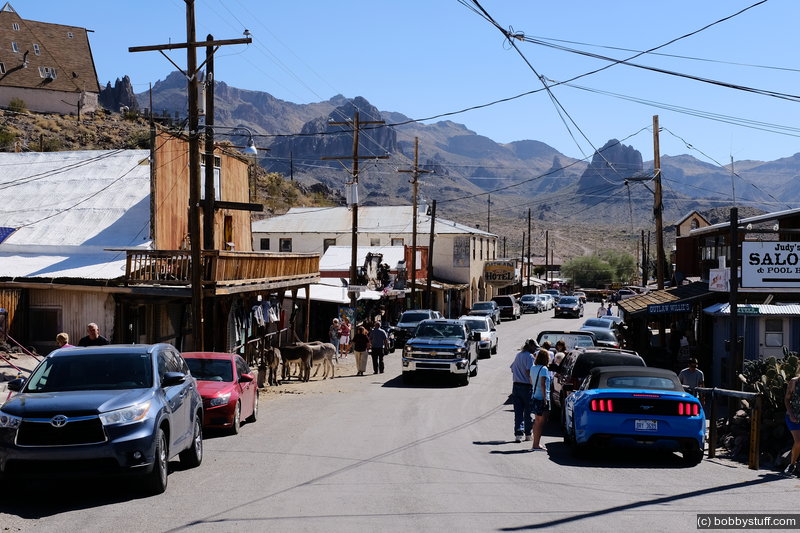
Oatman exists today because of its burros. They run wild through town and the tourist feed them. We spent a couple of hours walking around town. It must be near the end of the season as the prices were very reasonable and Laurie bought something from a local artist.
 Video
Video
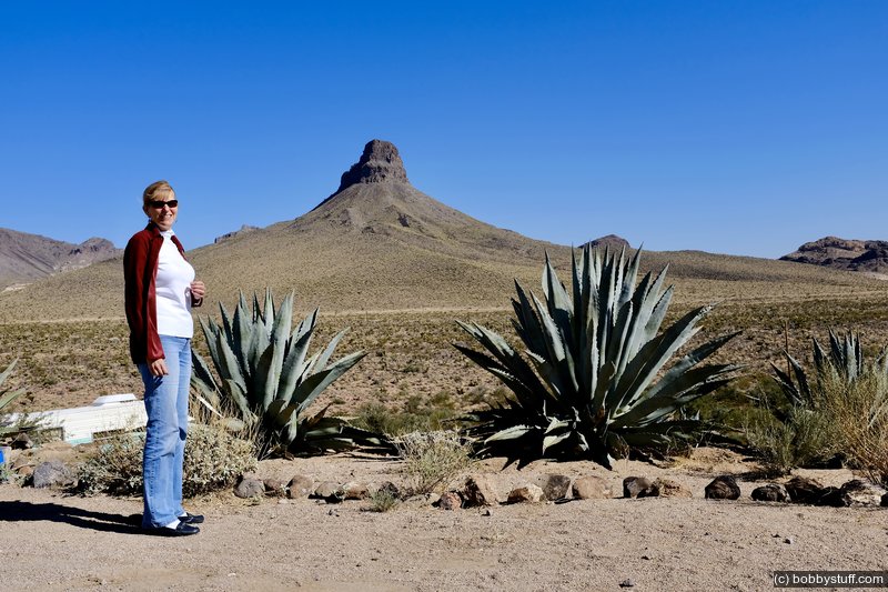
Sitgreaves Pass, Old Route 66, on our way to Oatman, AZ.
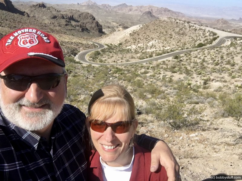
Sitgreaves Pass, Old Route 66, on our way to Oatman, AZ
Bobby, Laurie
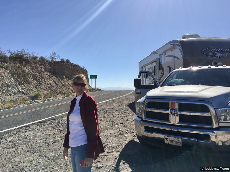
Sitgreaves Pass, Old Route 66, on our way to Oatman, AZ
Laurie
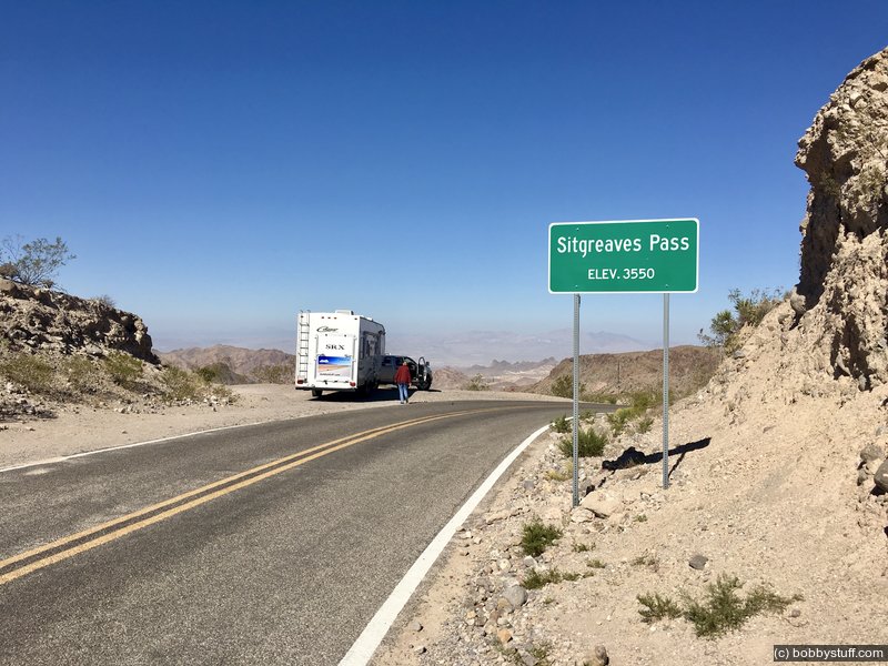
Sitgreaves Pass, Old Route 66, on our way to Oatman, AZ
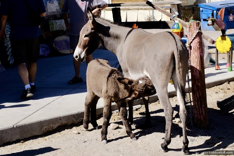
Oatman, AZ
Oatman, AZ
Oatman, AZ
Oatman, AZ
 Elevation Changes During the Day
The day started at 5,665 feet and ended at -61 feet. The highest altitude was 5,665 feet and the lowest altitude was -61 feet.