Day 3, I Learned A Few Things
| Start Point: | Wilmington, NC |
| Sun Rise: | 7:03 AM EDT |
| Start Weather: | At 6:00 AM EDT the temperature was 60.7 ° with 94% humidity. The conditions were clear with a wind speed of 5.6 MPH and wind gusts of 7.5 MPH. |
| End Point: | Conyers, GA |
| Sun Set: | 7:55 PM EDT |
| End Weather: | At 6:00 PM EDT the temperature was 83.4 ° with 39% humidity. The conditions were partly cloudy with a wind speed of 0.7 MPH and wind gusts of 4.4 MPH. |
Table of Contents
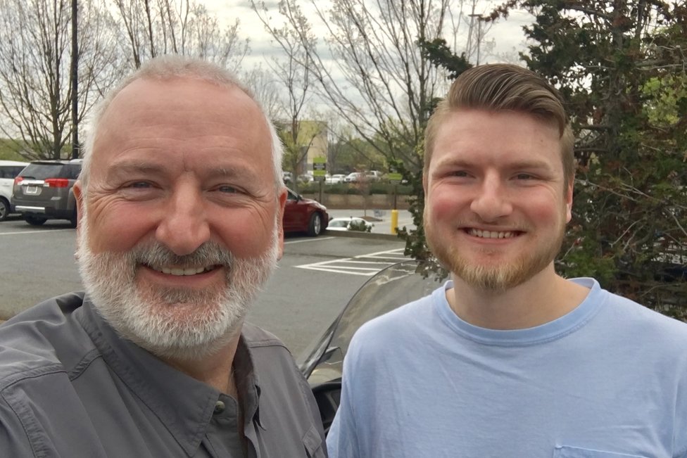
Today was a slow news day. My son Tucker is doing an internship for his NC State degree in Dunwoody just north of Atlanta. So I split off from the group and had lunch with him. His internship just ended so he is headed east to home tomorrow while I continue west.
Things I Learned Today
- I am riding with a great group of people. There is not a single butthead in the group and there is always a butthead. If I can't find the butthead does that mean it is me and no has told me?
- Socks washed with soap in a hotel sink will not dry in front of an AC unit that kicks on and off during the night.
- Ironing wet socks will not dry them.
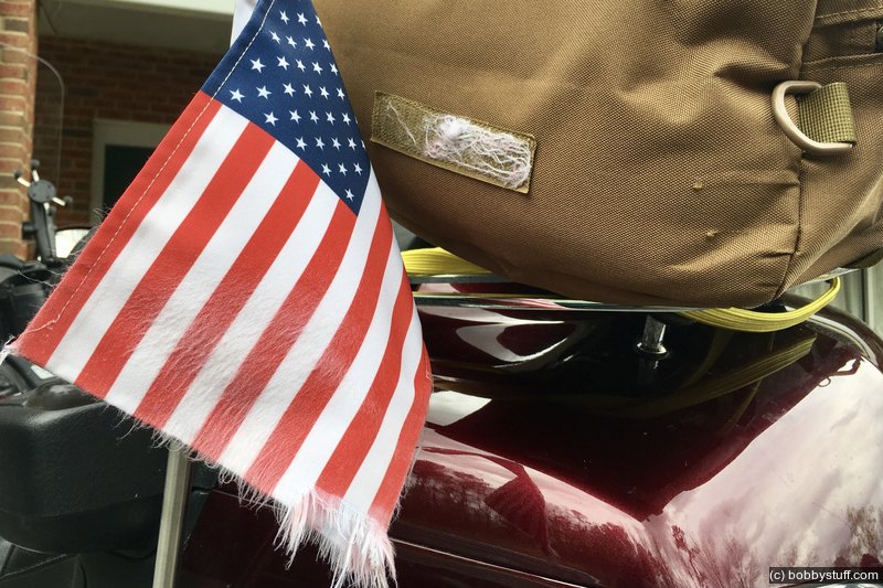
- A Gold Wing traveling at 80 MPH with a quartering wind still has a lot of life left in her.
- A Gold Wing traveling at 80 MPH with a quartering wind will ruin your antenna flag if it is hitting a patch of Velcro on your luggage on the back.
- A Gold Wing traveling at 80 MPH with a quartering wind will dry wet socks attached to the luggage rack.
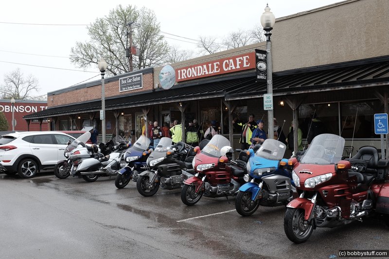
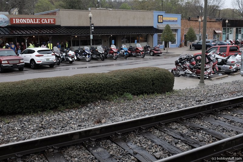
Dinner tonight was at the Irondale Cafe. I found out tonight that they are not normally open for dinner. They open every year for dinner for the 40 to Phoenix crowd.
 Elevation Changes During the Day
The day started at 866 feet and ended at 600 feet. The highest altitude was 1,246 feet and the lowest altitude was 499 feet.
 Google Map Track Log
Pick a trip from the first drop down list below.
| Day 2, We are Off, NC to GA |
Topics
General
Travel
TagsConfederate Statues (32),Motorcycle (97),National Parks (9),Odd (1),Route 66 (33),Unemployment (6),Zombies (1)